2010s Maps of Spider Lake, Wisconsin
Explore 32 historic maps of Spider Lake from the 2010s. These maps offer a rare glimpse into what life looked like during the 2010s — showing old roads, neighborhoods, homes, and landmarks that have changed or disappeared over time.
Whether you're researching your family's past, planning a metal detecting trip, or studying how Spider Lake's landscape evolved across the 2010s, these high-resolution maps are a powerful tool for exploring the history of this region.
- Focus on a specific era: All maps on this page are from the 2010s, giving you a focused view of this time period.
- See what’s changed: Compare century-old streets, trails, and buildings to today's modern landscape using overlays and satellite layers.
- Research with precision: Use these maps for genealogy, historical research, land use analysis, or educational projects.
- View, download, or print: Maps are fully viewable online in high resolution, and can be downloaded or printed for your own records.
Start exploring Spider Lake's history through authentic maps from the 2010s. This is your window into the past.
Spider Lake, WI maps
(32)- 2010 Map of Seeley, 2010 Print
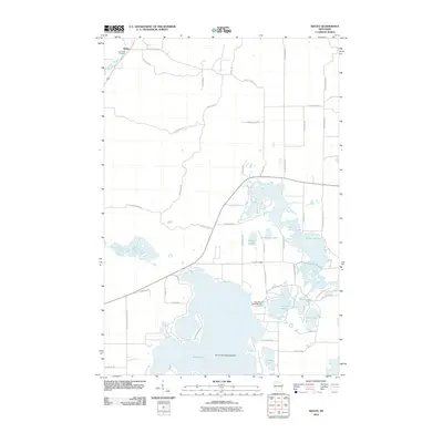 2010 Seeley2010 Print · USGSThe Northwoods landscape around Seeley is defined by its deep glacial lakes and river corridors at the start of the 21st century. Researchers can trace the layout of Riverside Cemetery, find the Round Lake Seaplane Base, and locate the Lake Placid 2 WP 298 Dam.
 - 2011 Map of Clam Lake, 2011 Print
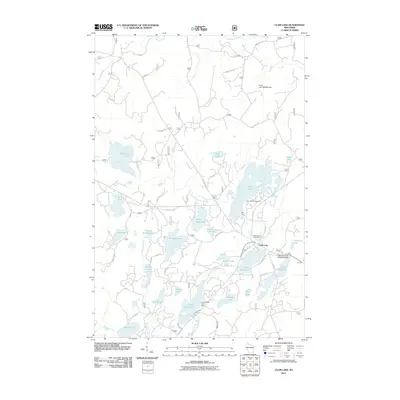 2011 Clam Lake2011 Print · USGSWisconsin's northern lake country is captured here during a period of modern forest management and lakeside recreation. Researchers can trace the layout of Clam Lake, locate the Wildwood Cemetery, or find the Little Clam Lake Seaplane Base near the water's edge.
 - 2011 Map of Clam Lake SW, 2011 Print
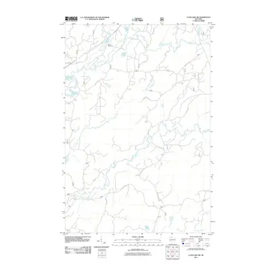 2011 Clam Lake SW2011 Print · USGSUpper Wisconsin river systems and forest service corridors defined this Northwoods landscape in the early twenty-first century. Researchers can trace the winding paths of the West Fork Chippewa River and Moose River, or locate landmarks like the Red Ike Creek Dam.
 - 2011 Map of Cable, 2011 Print
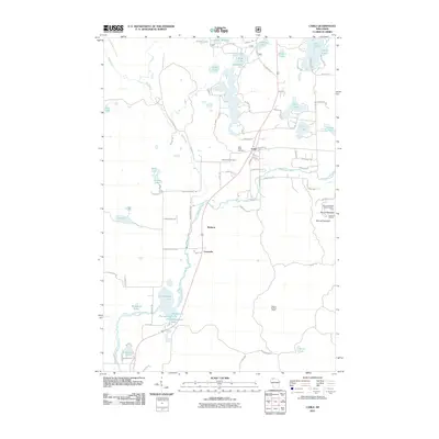 2011 Cable2011 Print · USGSCable and the Namekagon River corridor are captured here during the early twenty-first century as the region balanced its timber roots with seasonal recreation. Researchers can trace local lineage at Greenwood Cemetery or locate the sprawling Mount Telemark SkiArea and Seeley Lookout Tower.
 - 2011 Map of Moose Lake, 2011 Print
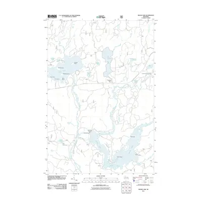 2011 Moose Lake2011 Print · USGSSawyer County's Northwoods are captured here at the start of the 2010s, showing a landscape defined by timber history and deep-water recreation. You can locate historic water controls like the Moose Lake 1911 C540 Dam or find secluded camps such as Chippewa River Campground.
 - 2011 Map of Spider Lake, 2011 Print
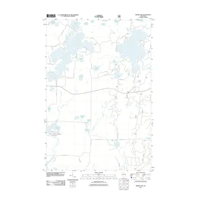 2011 Spider Lake2011 Print · USGSThe Wisconsin Northwoods around Spider Lake are captured here during the early twenty-first century, showing a landscape defined by water and timber. Researchers can trace the drainage of the North Fork Chief River and locate landmarks like the Tiger Cat Dam or the secluded Camp Four Lakes.
 - 2011 Map of Lake Tahkodah, 2011 Print
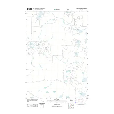 2011 Lake Tahkodah2011 Print · USGSBayfield County's lake-dotted landscape is captured here during the early twenty-first century as recreation and rural residency shaped the Northwoods. Trace the flow of the Namekagon River and identify local landmarks like the Cable Union Airport and Lake Tahkodah.
 - 2011 Map of Namekagon Lake, 2011 Print
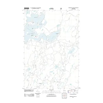 2011 Namekagon Lake2011 Print · USGSBayfield County's lake country is captured here during the early twenty-first century, showing the established recreational and residential patterns around Namekagon Lake. Trace family-named landmarks like Eagle Point and Juneks Point, or follow the winding Old Grade Rd through the northern woods.
 - 2013 Map of Spider Lake, 2013 Print
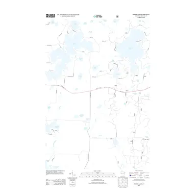 2013 Spider Lake2013 Print · USGSSawyer County's lake country is captured here during the early twenty-first century, showing a landscape defined by water and woods. Genealogists and historians can trace the development of lakeside tracts near Spider Lake, Lost Land Lake, and Tiger Cat Flowage.
 - 2013 Map of Namekagon Lake, 2013 Print
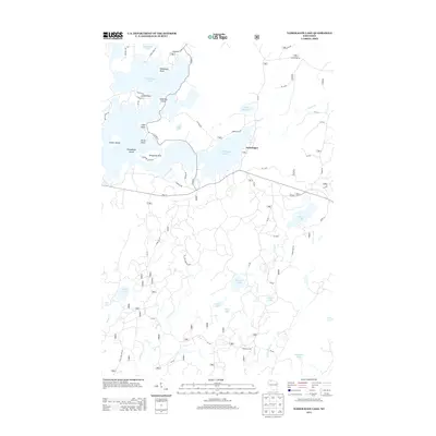 2013 Namekagon Lake2013 Print · USGSNamakagon and the shores of Namekagon Lake are captured here in the early twenty-first century, showing a landscape shaped by water and timber. Local historians can trace family-named points like Juneks Point or follow the path of the Old Grade Rd through the Chequamegon-Nicolet National Forest.
 - 2013 Map of Lake Tahkodah, 2013 Print
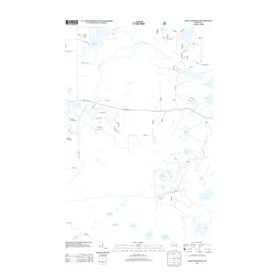 2013 Lake Tahkodah2013 Print · USGSThe glacier-carved lake country of Bayfield County is captured here in the early 2010s. Researchers can trace forest access via FR 272 and locate local landmarks like Mount Telemark, the Cable Union Airport, and the Tahkodah Hills Golf Course.
 - 2013 Map of Cable, 2013 Print
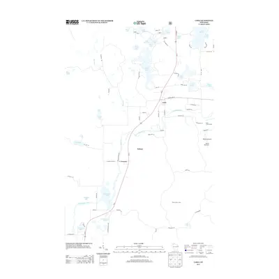 2013 Cable2013 Print · USGSCable and the winding Namekagon River are captured here in the early 2010s, showing a landscape of deep Northwoods character. Researchers can trace local landmarks like Mount Telemark, the Seeley Lookout Tower, and the lakeside settlements at Leonards and Radspur.
 - 2013 Map of Seeley, 2013 Print
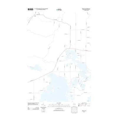 2013 Seeley2013 Print · USGSThe Northwoods around Seeley are captured here in the early twenty-first century, defined by a complex labyrinth of glacial lakes and river bends. Trace the winding Namekagon River or explore the detailed shorelines of Round Lake and the Tiger Cat Flowage.
 - 2013 Map of Moose Lake, 2013 Print
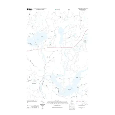 2013 Moose Lake2013 Print · USGSThe Sawyer County lake country is mapped here in detail during the early twenty-first century. Outdoorsmen and local historians can trace the paths around Ghost Lake, locate the West Fork Lookout Tower, and explore the shoreline of Moose Lake.
 - 2013 Map of Clam Lake SW, 2013 Print
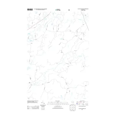 2013 Clam Lake SW2013 Print · USGSThe Northwoods of Wisconsin are captured here in the early twenty-first century, showing a remote landscape shaped by the West Fork Chippewa River system. Trace the winding paths of the Little Moose River and Torch River, and locate isolated waters like Partridge Crop Lake and Ike Lake.
 - 2013 Map of Clam Lake, 2013 Print
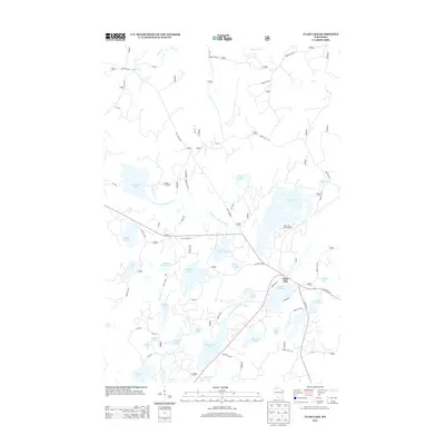 2013 Clam Lake2013 Print · USGSNorthern Wisconsin's lake country is captured here during the early twenty-first century, centered on the settlement of Clam Lake. Researchers can trace forest access roads and fishing landmarks like Muskie Springs Lake, Day Lake Campground, and the West Fork Chippewa River.
 - 2015 Map of Namekagon Lake, 2015 Print
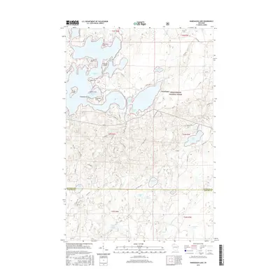 2015 Namekagon Lake2015 Print · USGSThe Northwoods shoreline of Namakagon, Wisconsin, comes into focus in this detailed modern study. You can trace the development of Namekagon Lake and find specific landmarks like Missionary Point, Anderson Island, and Ghost Lake.
 - 2015 Map of Clam Lake SW, 2015 Print
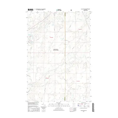 2015 Clam Lake SW2015 Print · USGSWisconsin's Northwoods are captured here in the mid-2010s, showing a landscape defined by the Chequamegon National Forest and its winding waterways. Researchers can trace forest management routes like Fire Ln and explore the complex hydrology of Moose Lake and the West Fork Chippewa River.
 - 2015 Map of Clam Lake, 2015 Print
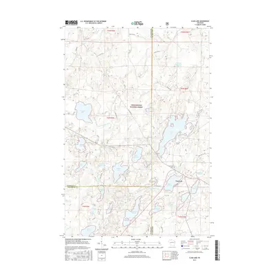 2015 Clam Lake2015 Print · USGSThe Northwoods of Wisconsin are shown here in the mid-2010s, centered on the remote village of Clam Lake. Genealogists and outdoor historians can trace old routes like Old Grade Rd or locate the local Wildwood Cem near Upper Clam Lake.
 - 2015 Map of Seeley, 2015 Print
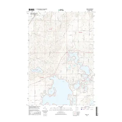 2015 Seeley2015 Print · USGSSeeley and the Sawyer County lakelands are shown here in the mid-2010s, highlighting the expansive waters of Round Lake and the winding Namekagon River. Local researchers can trace family landmarks like Riverside Cem and the complex shores of Tiger Cat Flowage.
 - 2015 Map of Lake Tahkodah, 2015 Print
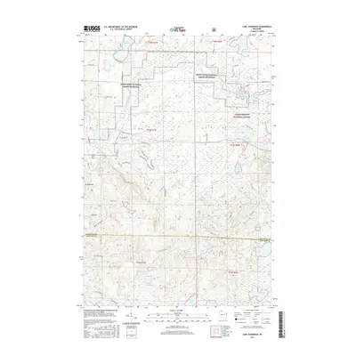 2015 Lake Tahkodah2015 Print · USGSThe north woods of Wisconsin are seen here in the mid-2010s, where the headwaters of the St. Croix system meet glacial terrain. Outdoor researchers can trace the Esker Trail near Mt Telemark or locate remote water bodies like Filing Shed Lake.
 - 2015 Map of Cable, 2015 Print
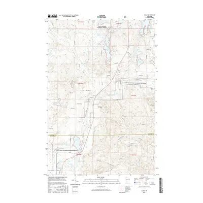 2015 Cable2015 Print · USGSThe village of Cable and its surrounding northwoods appear here in the mid-2010s, bordering the scenic Namekagon River valley. Genealogists and local historians can trace family sites at Saint Anne Cem or locate old rail stops like Radspur and Leonards.
 - 2015 Map of Moose Lake, 2015 Print
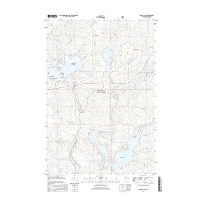 2015 Moose Lake2015 Print · USGSThe Northwoods of Wisconsin are captured here in the mid-2010s, centered on the complex waterways of the Chequamegon National Forest. Researchers can trace the winding course of the West Fork Chippewa River or locate family landmarks on Folson Island and McNott Island.
 - 2015 Map of Spider Lake, 2015 Print
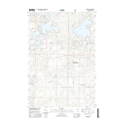 2015 Spider Lake2015 Print · USGSSawyer County’s Northwoods are showcased in this recent survey of the lake-strewn wilderness within the Chequamegon National Forest. Researchers can trace the complex shorelines and forest tracks around Spider Lake, Lost Land Lake, and the remote Camp Four Lakes.
 - 2018 Map of Clam Lake SW, 2018 Print
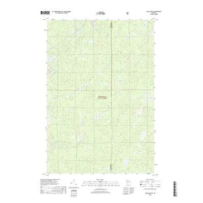 2018 Clam Lake SW2018 Print · USGSAshland and Sawyer counties meet in this 2018 survey of the deep Northwoods, where the Chequamegon National Forest preserves a wild landscape of glacial water. Trace the winding paths of the West Fork Chippewa River and find remote spots like Burd Lake and Cattail Lake.
Showing maps 1-25 of 32
Top cities near Spider Lake
- Cable historical maps
- Drummond historical maps
- Ojibwa historical maps
- Draper historical maps
- Shanagolden historical maps
Frequently asked questions
- What are the different types of historical maps available for Spider Lake?
- What is the oldest map of Spider Lake?
- Where can I purchase historical maps of Spider Lake for my home or office?
- Where can I download high-res historical maps of Spider Lake?
- Are there historical topographic maps available for Spider Lake?
- Is there historical aerial imagery available for Spider Lake?
- Where are historical maps of Spider Lake sourced from?