Old Maps of Birnamwood, Wisconsin for Metal Detecting
Plan your next treasure hunt with 28 historic maps of Birnamwood. Find old homesites, ghost towns, trails, and gathering spots that may be lost to time — perfect for identifying promising metal detecting locations.
- Locate forgotten sites: Uncover places like long-lost settlements, abandoned rail lines, or gathering spots.
- Plan better hunts: Use map overlays combined with LiDAR or satellite views to narrow in on historically rich areas.
- Made for detectorists: Thousands of hobbyists use these maps to discover relics, coins, and hidden history.
Use these historic maps to boost your research and find new opportunities beneath the surface of Birnamwood.
Birnamwood, WI maps
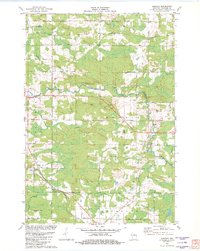
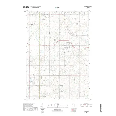
(28)- 1954 Map of Wittenberg, 1956 Print
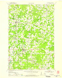 1954 Wittenberg1956 Print · USGSWisconsin’s timber and rail country is captured here during the mid-fifties as many small rural schoolhouses were being phased out. Genealogists and local historians can trace family locations near Forest Home Cem, the settlement of Regina, or the St Johannes Ch.
 - 1955 Map of Green Bay, 1968 Print
 1955 Green Bay1968 Print · USGSCentral and Eastern Wisconsin are captured here in the mid-fifties, showing the industrial growth of the Fox Valley and Wisconsin River corridors. Genealogists and historians can trace rail lines like the Green Bay and Western through settlements like Weyauwega, Clintonville, and Pulaski.2 unique versions available
 - 1964 Map of Wittenberg, 1965 Print
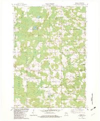
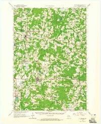 1964 Wittenberg1965 Print · USGSSettled along the border of Marathon and Shawano counties in the 1960s, this area shows a landscape shaped by timber and rail. Researchers can trace local lineage through several sites like Homme Home for Boys, St Philomena Ch, and Holy Family Cem.2 unique versions available
 - 1982 Map of Wittenberg
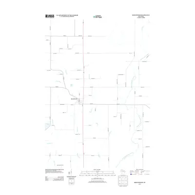
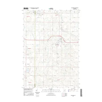
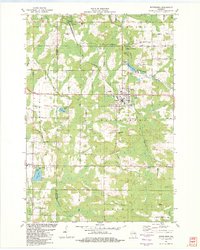 1982 Wittenberg1982 Print · USGSThe village of Wittenberg and surrounding timberlands are documented here in the early eighties, showing a landscape shaped by the Chicago and North Western railroad. Genealogists can trace family heritage at Holy Family Cem or investigate local landmarks like the Homme Home for Boys.
 - 1982 Map of Birnamwood
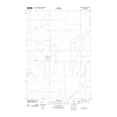
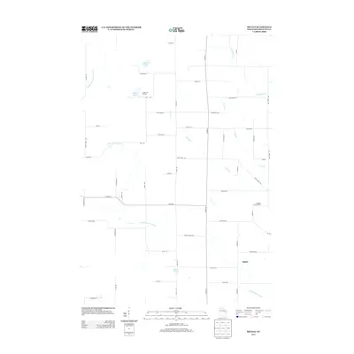
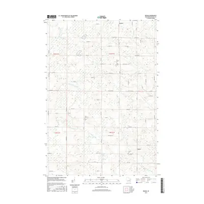
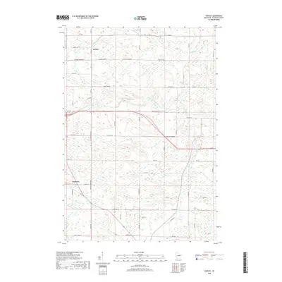
 1982 Birnamwood1982 Print · USGSThe village of Birnamwood and its railroad connections are documented here in the early eighties. Genealogists can locate family sites at St Philomena Cem, Forest Cem, and St Johns Ch Cem along the Embarrass River valley.
 - 1982 Map of Shepley
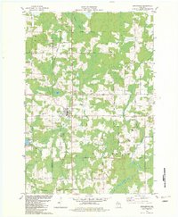
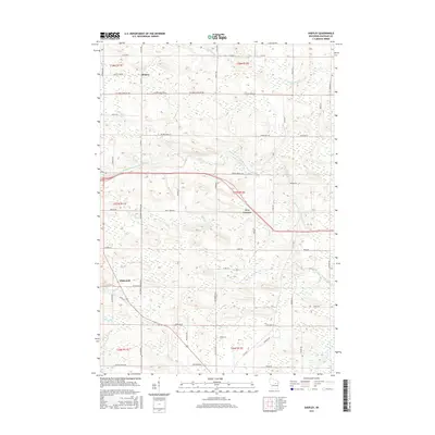
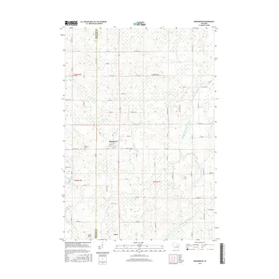
 1982 Shepley1982 Print · USGSShawano County's rural townships are documented here in the early 1980s, showcasing the winding Middle Branch Embarrass River and local rail stops. Genealogists can trace family footprints near Shepley, Whitcomb, and Immanuel Ch.
 - 1982 Map of Regina
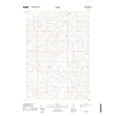
 1982 Regina1982 Print · USGSShawano County's river valleys and timberlands are captured here during the early eighties, showing a landscape shaped by the North Branch Embarrass River. You can trace old transit lines like the Old Railroad Grade or locate family sites at Regina, Five Corners, and Riverside Cem.
 - 1984 Map of Wausau, 1990 Print
 1984 Wausau1990 Print · USGSMarathon and Portage counties come into focus during the mid-eighties as industrial river towns and sprawling conservation areas define the Central Wisconsin landscape. Researchers can trace the rail corridors of the Soo Line or locate rural landmarks like Rib Mountain State Park and St Marys Cem.
 - 2010 Map of Shepley, 2010 Print
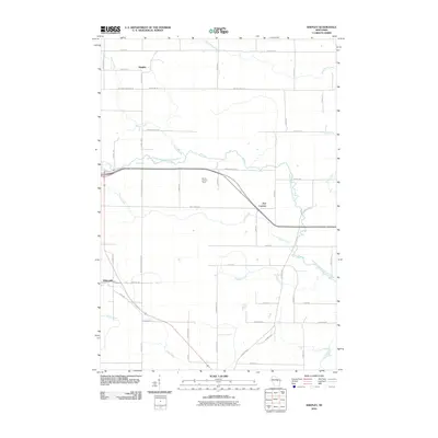 2010 Shepley2010 Print · USGSCovers Birnamwood, including Wittenberg, Almon, and other nearby areas
 - 2010 Map of Wittenberg, 2010 Print
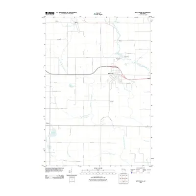 2010 Wittenberg2010 Print · USGSCovers Birnamwood, including Wittenberg, Wittenberg, and other nearby areas
 - 2010 Map of Birnamwood, 2010 Print
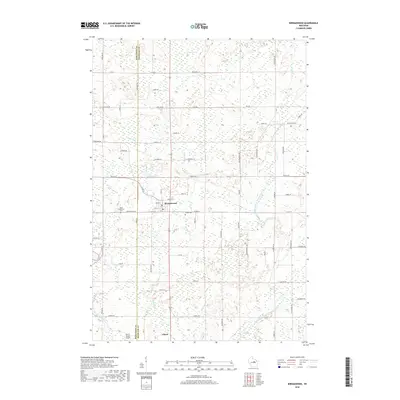
 2010 Birnamwood2010 Print · USGSCovers Birnamwood, including Norrie, Eland, and other nearby areas
 - 2010 Map of Regina, 2010 Print
 2010 Regina2010 Print · USGSCovers Birnamwood, including Almon, Mattoon, and other nearby areas
 - 2013 Map of Birnamwood, 2013 Print
 2013 Birnamwood2013 Print · USGSCovers Birnamwood, including Norrie, Eland, and other nearby areas
 - 2013 Map of Wittenberg, 2013 Print
 2013 Wittenberg2013 Print · USGSCovers Birnamwood, including Wittenberg, Wittenberg, and other nearby areas
 - 2013 Map of Regina, 2013 Print
 2013 Regina2013 Print · USGSCovers Birnamwood, including Almon, Mattoon, and other nearby areas
 - 2013 Map of Shepley, 2013 Print
 2013 Shepley2013 Print · USGSCovers Birnamwood, including Wittenberg, Almon, and other nearby areas
 - 2015 Map of Wittenberg, 2015 Print
 2015 Wittenberg2015 Print · USGSCovers Birnamwood, including Wittenberg, Wittenberg, and other nearby areas
 - 2015 Map of Shepley, 2015 Print
 2015 Shepley2015 Print · USGSCovers Birnamwood, including Wittenberg, Almon, and other nearby areas
 - 2015 Map of Regina, 2015 Print
 2015 Regina2015 Print · USGSCovers Birnamwood, including Almon, Mattoon, and other nearby areas
 - 2015 Map of Birnamwood, 2015 Print
 2015 Birnamwood2015 Print · USGSCovers Birnamwood, including Norrie, Eland, and other nearby areas
 - 2018 Map of Regina, 2018 Print
 2018 Regina2018 Print · USGSCovers Birnamwood, including Almon, Mattoon, and other nearby areas
 - 2018 Map of Birnamwood, 2018 Print
 2018 Birnamwood2018 Print · USGSCovers Birnamwood, including Norrie, Eland, and other nearby areas
 - 2018 Map of Wittenberg, 2018 Print
 2018 Wittenberg2018 Print · USGSCovers Birnamwood, including Wittenberg, Wittenberg, and other nearby areas
 - 2018 Map of Shepley, 2018 Print
 2018 Shepley2018 Print · USGSCovers Birnamwood, including Wittenberg, Almon, and other nearby areas
 - 2022 Map of Birnamwood, 2022 Print
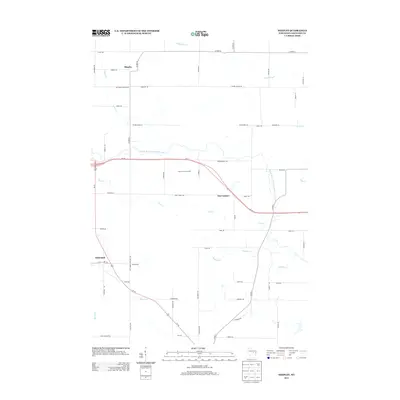
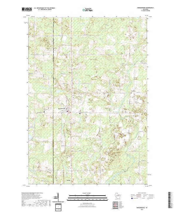 2022 Birnamwood2022 Print · USGSThe borderlands of Marathon and Shawano counties are revealed here in the twenty-first century, centered on the village of Birnamwood. Trace the convergence of the Wiouwash State Trl and Mountain-Bay State Trl near Eland or locate family plots at Forest Cem.
Showing maps 1-25 of 28
Top cities near Birnamwood
- Antigo historical maps
- Ringle historical maps
- Wittenberg historical maps
- Wittenberg historical maps
- Polar historical maps
- Norrie historical maps
See more
Top neighborhoods of Birnamwood
Frequently asked questions
- What are the different types of historical maps available for Birnamwood?
- What is the oldest map of Birnamwood?
- Where can I purchase historical maps of Birnamwood for my home or office?
- Where can I download high-res historical maps of Birnamwood?
- Are there historical topographic maps available for Birnamwood?
- Is there historical aerial imagery available for Birnamwood?
- Where are historical maps of Birnamwood sourced from?