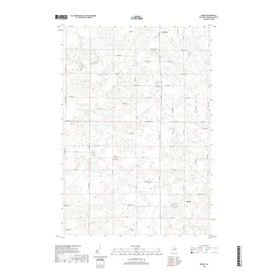
2018 Map of Regina
USGS Topo · Published 2018About this map
The Middle Br Embarrass River and N Br Embarrass River wind through this part of Shawano County, defining a landscape of low-lying wetlands and scattered upland settlements. The village of Mattoon occupies the northern edge of the map, while the community of Regina is situated to the southeast, near the banks of the North Branch. This area is notable for its concentration of rural burial sites, including Saint Pauls Cem, Leiskau Cem, and the Town Cem located south of Regina.
Find a feature on this map
72 named features on this map. Tap any name to fly to it.
Don’t see what you’re looking for? This feature index may not catch every label — zoom into the map to look around manually.
Map Details
Editions of this 2018 Regina Map
This is the sole edition of this map. No revisions or reprints were ever made.
Other maps of this area

1952 · Antigo
USGS Topo · 1:48,000

1952 · White Lake
USGS Topo · 1:48,000

1954 · Wittenberg
USGS Topo · 1:48,000

1954 · Gresham
USGS Topo · 1:48,000

1954 · Iron Mountain
USGS Topo · 1:250,000

1955 · Green Bay
USGS Topo · 1:250,000

1959 · Iron Mountain
USGS Topo · 1:250,000

1964 · Wittenberg
USGS Topo · 1:62,500

1964 · Gresham
USGS Topo · 1:62,500
1973 · Aniwa
USGS Topo · 1:24,000