Old Maps of Hutchins, Wisconsin for Metal Detecting
Plan your next treasure hunt with 37 historic maps of Hutchins. Find old homesites, ghost towns, trails, and gathering spots that may be lost to time — perfect for identifying promising metal detecting locations.
- Locate forgotten sites: Uncover places like long-lost settlements, abandoned rail lines, or gathering spots.
- Plan better hunts: Use map overlays combined with LiDAR or satellite views to narrow in on historically rich areas.
- Made for detectorists: Thousands of hobbyists use these maps to discover relics, coins, and hidden history.
Use these historic maps to boost your research and find new opportunities beneath the surface of Hutchins.
Hutchins, WI maps
(37)- 1952 Map of Antigo, 1954 Print
 1952 Antigo1954 Print · USGSAntigo and its surrounding townships are shown in detail during the early fifties, capturing a moment of transition for northern Wisconsin's rural school districts. Genealogists can locate family landmarks like the Bohemian Cem, St Johns Ch, and many local schools from Deerbrook to Mattoon.2 unique versions available
 - 1952 Map of White Lake, 1955 Print
 1952 White Lake1955 Print · USGSUpper Wisconsin timberlands and tribal lands meet in the early fifties, showing a region defined by forestry and the Wolf River. You can trace the Chicago and North Western rail line through rural outposts like Sherry Junction, Elton, and Hollister.2 unique versions available
 - 1954 Map of Wittenberg, 1956 Print
 1954 Wittenberg1956 Print · USGSWisconsin’s timber and rail country is captured here during the mid-fifties as many small rural schoolhouses were being phased out. Genealogists and local historians can trace family locations near Forest Home Cem, the settlement of Regina, or the St Johannes Ch.
 - 1954 Map of Gresham, 1956 Print
 1954 Gresham1956 Print · USGSMid-century Shawano County is captured here at a time when the northern timberlands and southern farmsteads met. Genealogists and historians can trace local landmarks like Mohican Sch, the milling center at Neopit, and several rural churches including Immanuel Ch.
 - 1954 Map of Iron Mountain, 1964 Print
 1954 Iron Mountain1964 Print · USGSUpper Michigan and Northeastern Wisconsin are shown in detail during the mid-fifties, when the logging and mining economies still moved by rail. Trace the rail lines of the Soo Line to remote stops like Koepenick Station or explore the Iron Range near Iron Mountain.2 unique versions available
 - 1955 Map of Green Bay, 1968 Print
 1955 Green Bay1968 Print · USGSCentral and Eastern Wisconsin are captured here in the mid-fifties, showing the industrial growth of the Fox Valley and Wisconsin River corridors. Genealogists and historians can trace rail lines like the Green Bay and Western through settlements like Weyauwega, Clintonville, and Pulaski.2 unique versions available
 - 1959 Map of Iron Mountain
 1959 Iron Mountain1959 Print · USGSThe northwoods of Wisconsin and the Michigan border are captured here in the mid-fifties, showing a landscape defined by timber, water, and rail. Researchers can trace historic junctions like Hiles Junction, the expansive Nicolet National Forest, and lakefront settlements from Rhinelander to Tomahawk.2 unique versions available
 - 1964 Map of Wittenberg, 1965 Print
 1964 Wittenberg1965 Print · USGSSettled along the border of Marathon and Shawano counties in the 1960s, this area shows a landscape shaped by timber and rail. Researchers can trace local lineage through several sites like Homme Home for Boys, St Philomena Ch, and Holy Family Cem.2 unique versions available
 - 1964 Map of Gresham, 1975 Print
 1964 Gresham1975 Print · USGSMid-century Shawano County is mapped here during a period of transition for its northern timberlands and southern farms. Genealogists and researchers can trace family names through rural landmarks like Hermanfort Sch, St Marys Cem, and Tilleda.
 - 1973 Map of Mattoon, 1976 Print
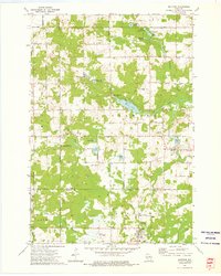 1973 Mattoon1976 Print · USGSIn the early 1970s, the borderlands of Langlade and Shawano counties featured a landscape of conservation and small-town industry. Trace family roots in Mattoon and Phlox, or locate landmarks like the Norwood Cem and the Old Railroad Grade.2 unique versions available
 - 1973 Map of Zoar, 1977 Print
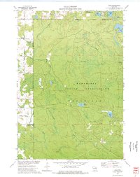 1973 Zoar1977 Print · USGSThe Menominee Indian Reservation and the settlement of Zoar are shown here in the early 1970s amidst a landscape of glacial lakes and northern forests. Researchers can trace the Old Railroad Grade and locate specific features like Chisel Springs and Lake Neconish.
 - 1982 Map of Regina
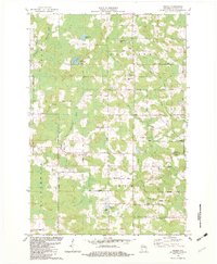 1982 Regina1982 Print · USGSShawano County's river valleys and timberlands are captured here during the early eighties, showing a landscape shaped by the North Branch Embarrass River. You can trace old transit lines like the Old Railroad Grade or locate family sites at Regina, Five Corners, and Riverside Cem.
 - 1982 Map of Burney Lake, 1983 Print
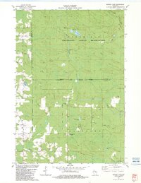 1982 Burney Lake1983 Print · USGSTribal lands and river systems define this Shawano County landscape during the early eighties. Researchers can trace the Old Railroad Grade and locate local landmarks like the Stockbridge-Munsee Indian Agency and Wilderness Ch.
 - 1984 Map of Shawano, 1985 Print
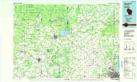 1984 Shawano1985 Print · USGSNortheast Wisconsin in the mid-1980s was a landscape defined by its indigenous heritage and the bustling trade centers of the Fox and Wolf River valleys. Genealogists and historians can trace rail corridors like the Chicago and North Western or locate family sites near Keshena, Cecil, and the Fort Howard Cem.2 unique versions available
 - 1984 Map of Wausau, 1990 Print
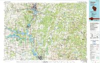 1984 Wausau1990 Print · USGSMarathon and Portage counties come into focus during the mid-eighties as industrial river towns and sprawling conservation areas define the Central Wisconsin landscape. Researchers can trace the rail corridors of the Soo Line or locate rural landmarks like Rib Mountain State Park and St Marys Cem.
 - 1990 Map of Wabeno, 1991 Print
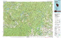 1990 Wabeno1991 Print · USGSThe Wisconsin Northwoods in the early nineties is a landscape of deep timber, tribal lands, and glacial lakes. Researchers can trace the Chicago and North Western rail line through lumber towns like Wabeno and Townsend or locate the Lakewood State Fish Hatchery.
 - 1990 Map of Merrill, 1991 Print
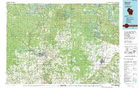 1990 Merrill1991 Print · USGSWisconsin's Northwoods transition from timber industry to recreation in the 1990s, centered on the river corridors of Lincoln and Langlade counties. Genealogists and historians can trace rail history along the Soo Line and Old RR Grade between Merrill and Antigo.
 - 2010 Map of Regina, 2010 Print
 2010 Regina2010 Print · USGSRegina and its surrounding Shawano County countryside are shown here in the early twenty-first century as a land of winding rivers and family cemeteries. Genealogists and historians can trace local roots at Saint Pauls Cemetery, Riverside Cemetery, and the Kolpack Lookout Tower.
 - 2010 Map of Mattoon, 2010 Print
 2010 Mattoon2010 Print · USGSThe communities of Mattoon and Phlox are shown here in the early 21st century, set against a dense network of glacial lakes and river branches. Genealogists and researchers can locate Norwood Cemetery or trace the waterways of the Red River and Mattoon Creek.
 - 2010 Map of Burney Lake, 2010 Print
 2010 Burney Lake2010 Print · USGSAlmon and the surrounding river valleys of Shawano County are captured here in the early twenty-first century as the landscape maintains its rural character. Genealogists and historians can trace the paths of Red River, Miller Creek, and named local routes like Wagon Bridge Rd.
 - 2010 Map of Zoar, 2010 Print
 2010 Zoar2010 Print · USGSWisconsin's lakelands are captured here in 2010, showing the rural settlement patterns near Zoar. Researchers can trace old forest roads and family-named routes like Ernest Neconish Rd to landmarks such as Camp Black Hawk and Lake Neconish.
 - 2013 Map of Burney Lake, 2013 Print
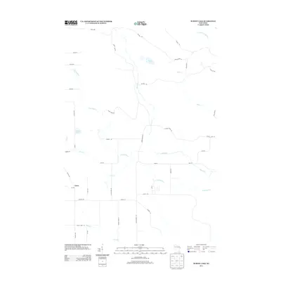 2013 Burney Lake2013 Print · USGSAlmon and the surrounding Shawano County woodlands are captured here in the early twenty-first century. Genealogists and local historians can trace the paths of W Br Red River and find family-named landmarks like Burney Lake and Kolpack Lake.
 - 2013 Map of Regina, 2013 Print
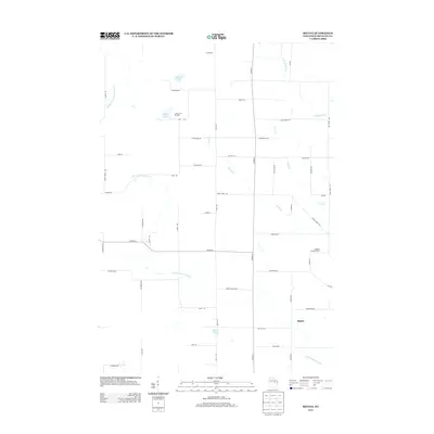 2013 Regina2013 Print · USGSWisconsin’s Northwoods terrain near the turn of the twenty-first century is defined here by the winding N Br Embarrass River and the settlement of Regina. Local historians can locate specific landmarks like Camp Chin-Be-Gota and the Kolpack Lookout Tower.
 - 2013 Map of Zoar, 2013 Print
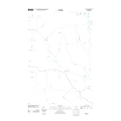 2013 Zoar2013 Print · USGSWisconsin's northern forests and waterways come to life in this early twenty-first-century survey of the Menominee Reservation area. Local historians and genealogists can trace family connections along Zoar Rd and locate landmarks like Camp Black Hawk and Red River Camp.
 - 2013 Map of Mattoon, 2013 Print
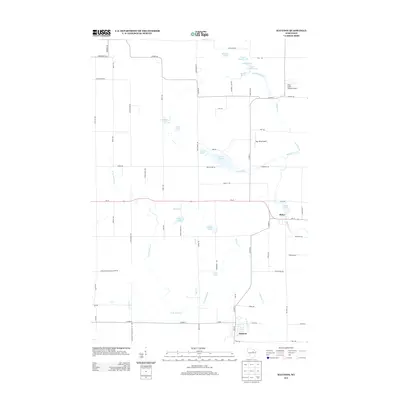 2013 Mattoon2013 Print · USGSWisconsin's glacial landscape is well-preserved here in the early twenty-first century, centered on the villages of Mattoon and Phlox. Trace local aviation history and water systems through Kitty Hawk Estates Airport, the Red River, and named springs like Moose Springs.
Showing maps 1-25 of 37
Top cities near Hutchins
- Antigo historical maps
- Wittenberg historical maps
- Wittenberg historical maps
- Polar historical maps
- Neva historical maps
- Norrie historical maps
See more
Frequently asked questions
- What are the different types of historical maps available for Hutchins?
- What is the oldest map of Hutchins?
- Where can I purchase historical maps of Hutchins for my home or office?
- Where can I download high-res historical maps of Hutchins?
- Are there historical topographic maps available for Hutchins?
- Is there historical aerial imagery available for Hutchins?
- Where are historical maps of Hutchins sourced from?