Old Maps of Navarino, Wisconsin for Hiking & Exploration
Hike through history with 30 historic maps of Navarino. Explore old trails, ghost towns, and forgotten backroads — perfect for outdoor adventurers and local explorers.
- Rediscover forgotten places: Map out old mining camps, roads, and footpaths that no longer exist on modern maps.
- Layer with modern tools: Combine with LiDAR or satellite views to plan hikes through historical terrain.
- Made for exploration: Popular among hikers, overlanders, and local history lovers.
Use these maps to find adventure and explore the hidden past of Navarino.
Navarino, WI maps
(30)- 1955 Map of Embarrass, 1957 Print
 1955 Embarrass1957 Print · USGSIn the mid-1950s, this pocket of Wisconsin was a landscape of dairy townships and evolving rural education. Genealogists can trace family roots through numerous sites like St John Ch, the Danish Cem, and many schoolhouses marked abandoned including Riverbank Sch.2 unique versions available
 - 1955 Map of Seymour, 1957 Print
 1955 Seymour1957 Print · USGSWisconsin's dairy heartland comes alive in this mid-century survey of the borderlands between Shawano and Outagamie counties. Genealogists can trace family roots through numerous rural schools and churches, from St Johns Ch to the Elm Grove Cem near Laney.3 unique versions available
 - 1955 Map of Green Bay, 1968 Print
 1955 Green Bay1968 Print · USGSCentral and Eastern Wisconsin are captured here in the mid-fifties, showing the industrial growth of the Fox Valley and Wisconsin River corridors. Genealogists and historians can trace rail lines like the Green Bay and Western through settlements like Weyauwega, Clintonville, and Pulaski.2 unique versions available
 - 1969 Map of Leeman, 1971 Print
 1969 Leeman1971 Print · USGSOutagamie and Shawano counties are captured here in the late sixties, where the winding Wolf River meets vast conservation lands. Researchers can locate family landmarks along Eskman Road, the St Lawrence Cem, and the old Navarino Sch.
 - 1969 Map of Lunds, 1971 Print
 1969 Lunds1971 Print · USGSWisconsin's river-fed wetlands and rural townships are captured here in the late sixties as the Wolf River snakes through the Navarino Wildlife Area. Local historians can trace family roots at Hilda Cem or locate community centers like St Wenceslaus Ch and the settlement of Lunds.
 - 1974 Map of Bonduel, 1977 Print
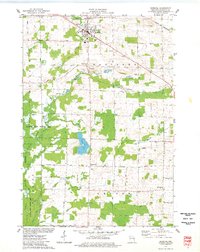 1974 Bonduel1977 Print · USGSThe village of Bonduel and the surrounding townships are captured in the mid-1970s as agricultural life intertwined with the Chicago and North Western railroad. Researchers can locate several historic burial sites like Lessor Cem and Zion Cem, or trace the rural crossroads of Slab City and Landstad.
 - 1974 Map of Nichols, 1977 Print
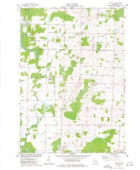 1974 Nichols1977 Print · USGSThe rural landscapes of Outagamie and Shawano Counties are captured here in the mid-seventies, centered on the rail-linked village of Nichols. Researchers can trace old family sites near Briarton and local cemeteries like North Cicero Cem along the Shioc River corridor.
 - 1984 Map of Shawano, 1985 Print
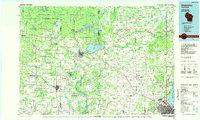 1984 Shawano1985 Print · USGSNortheast Wisconsin in the mid-1980s was a landscape defined by its indigenous heritage and the bustling trade centers of the Fox and Wolf River valleys. Genealogists and historians can trace rail corridors like the Chicago and North Western or locate family sites near Keshena, Cecil, and the Fort Howard Cem.2 unique versions available
 - 1992 Map of Leeman, 1996 Print
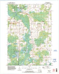 1992 Leeman1996 Print · USGSIn the 1990s, the Wolf River basin in Outagamie County remained a vast wetland corridor preserved through state wildlife areas. Researchers can trace rural lineages at St Lawrence Cem and Oak Hill Cem or locate the riverside hamlet of Leeman.
 - 1992 Map of Nichols, 1996 Print
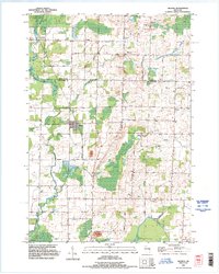 1992 Nichols1996 Print · USGSThe rural landscapes of Shawano and Outagamie counties are captured here in the early nineties, showcasing the agricultural roots of Nichols and Briarton. Local researchers can trace family landmarks like Emmanuel Cem and several small extractive sites including a Quarry and Gravel Pit.
 - 2010 Map of Lunds, 2010 Print
 2010 Lunds2010 Print · USGSWisconsin's rural Shawano County landscape is defined here by the winding Wolf River and its managed wetlands at the start of the twenty-first century. Researchers can trace local heritage through sites like Saint Wenceslaus Cemetery and the settlement of Lunds.
 - 2010 Map of Nichols, 2010 Print
 2010 Nichols2010 Print · USGSOutagamie County farm country is documented here at the start of the 2010s, showing the rural settlements of Nichols and Briarton. Genealogists can locate family landmarks like North Cicero Cemetery and follow the paths of family-named routes like Schnable Rd.
 - 2010 Map of Leeman, 2010 Print
 2010 Leeman2010 Print · USGSThe Wolf River corridor in Shawano County shows its characteristic meanders and rural settlements in the early twenty-first century. Researchers can locate local burial grounds like Oak Hill Cemetery and trace the small community of Leeman.
 - 2010 Map of Bonduel, 2010 Print
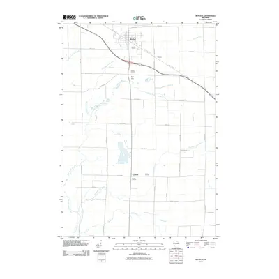 2010 Bonduel2010 Print · USGSShawano County at the start of the 2010s reveals a well-ordered landscape of traditional farmsteads and growing rural villages. Genealogists can trace family roots through several local sites including Saint Paul Cemetery, Slab City, and the rural crossroads of Landstad.
 - 2013 Map of Nichols, 2013 Print
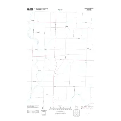 2013 Nichols2013 Print · USGSWisconsin's rural landscape is captured here in the early twenty-first century, showing the established communities of Nichols and Cicero. Genealogists can trace family footprints along named routes like Meuleman Rd or near the waters of the Shioc River.
 - 2013 Map of Leeman, 2013 Print
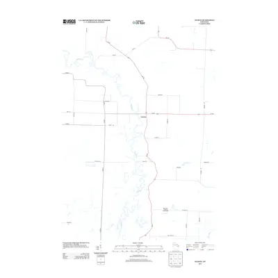 2013 Leeman2013 Print · USGSThe winding banks of the Wolf River dominate this modern survey of Shawano County, capturing the rural character of the region. Researchers can trace the layout of the Leeman settlement and identify local landmarks like the Wolf River Landing Strip Airport and Wi-187.
 - 2013 Map of Bonduel, 2013 Print
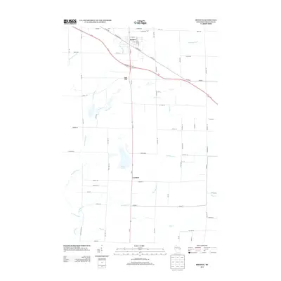 2013 Bonduel2013 Print · USGSBonduel and the surrounding Shawano County countryside are documented here in the early twenty-first century as the area balanced rural tradition with new recreational corridors. Researchers can trace local landmarks like Slab City, the winding W Br Shioc River, and the Mountain Bay Trl.
 - 2013 Map of Lunds, 2013 Print
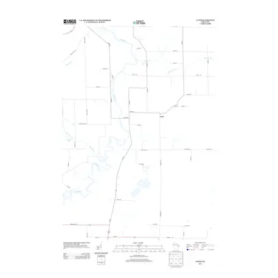 2013 Lunds2013 Print · USGSShawano County's rural character is preserved in this early twenty-first-century survey of the area surrounding Lunds. Researchers can trace the meandering course of the Wolf River and locate family land near Schoenick Lake or along School Section Cr.
 - 2016 Map of Nichols, 2016 Print
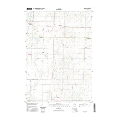 2016 Nichols2016 Print · USGSThis rural portion of Outagamie and Shawano Counties comes into focus during the mid-2010s, revealing a landscape of small agricultural settlements and winding waterways. Researchers can trace local burial sites like Union Cem and South Cicero Cem or follow the paths of the Shioc River and Toad Cr.
 - 2016 Map of Leeman, 2016 Print
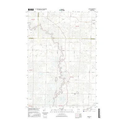 2016 Leeman2016 Print · USGSCentral Wisconsin's riverine landscape is captured here in the mid-2010s, showing the complex wetlands where the Wolf River meets the county lines. Genealogists can locate family sites at Saint Lawrence Cem or trace rural life in Leeman and Navarino.
 - 2016 Map of Lunds, 2016 Print
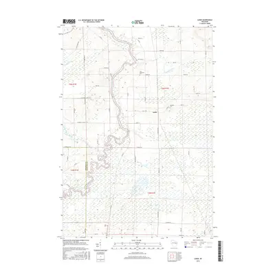 2016 Lunds2016 Print · USGSShawano County at the start of the twenty-first century reveals a landscape defined by the winding Wolf River and its expansive wetlands. Researchers can trace local heritage through sites like Lunds and community burial grounds such as Saint Wenceslaus Cem and Jerusalem Cem.
 - 2016 Map of Bonduel, 2016 Print
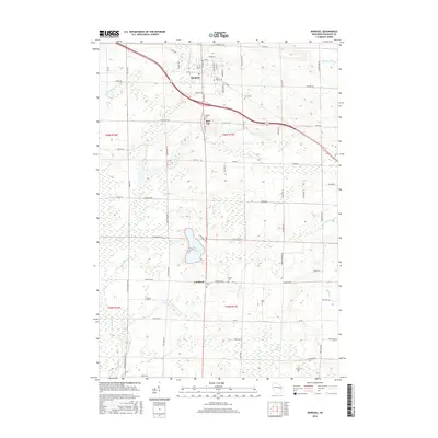 2016 Bonduel2016 Print · USGSShawano County at the mid-point of the 2010s shows a landscape of steady agricultural life and well-preserved rural centers. Researchers can locate family roots at Saint Paul Cem and Zion Cem or trace the drainage of White Lake into the W Br Shioc River.
 - 2018 Map of Nichols, 2018 Print
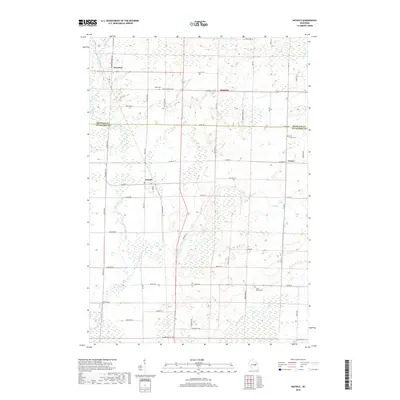 2018 Nichols2018 Print · USGSWisconsin's rural dairy country is captured here in the late twenty-teens, showing the agricultural grids of Outagamie and Shawano counties. Local researchers can trace family lands near Nichols or locate the Union Cem and South Cicero Cem burial grounds.
 - 2018 Map of Lunds, 2018 Print
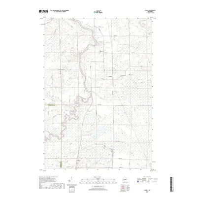 2018 Lunds2018 Print · USGSThe rural borders of Shawano and Waupaca Counties are defined by the winding Wolf River and the extensive Navarino Marsh in this recent survey. Researchers can locate family landmarks like Saint Wenceslaus Cem, Jerusalem Cem, and the quiet community of Lunds.
 - 2018 Map of Leeman, 2018 Print
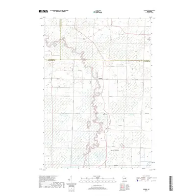 2018 Leeman2018 Print · USGSThe river bottoms where the Wolf and Shioc meet are captured here as they appeared in 2018, spanning the intersection of Shawano, Waupaca, and Outagamie counties. Researchers can locate long-standing rural landmarks like Oak Hill Cem and the Wolf River Landing Strip among the river's winding oxbows.
Showing maps 1-25 of 30
Top cities near Navarino
- Shawano historical maps
- New London historical maps
- Freedom historical maps
- Clintonville historical maps
- Seymour historical maps
- Belle Plaine historical maps
See more
Frequently asked questions
- What are the different types of historical maps available for Navarino?
- What is the oldest map of Navarino?
- Where can I purchase historical maps of Navarino for my home or office?
- Where can I download high-res historical maps of Navarino?
- Are there historical topographic maps available for Navarino?
- Is there historical aerial imagery available for Navarino?
- Where are historical maps of Navarino sourced from?