Old Maps of Dacada, Holland for Hiking & Exploration
Hike through history with 10 historic maps of Dacada. Explore old trails, ghost towns, and forgotten backroads — perfect for outdoor adventurers and local explorers.
- Rediscover forgotten places: Map out old mining camps, roads, and footpaths that no longer exist on modern maps.
- Layer with modern tools: Combine with LiDAR or satellite views to plan hikes through historical terrain.
- Made for exploration: Popular among hikers, overlanders, and local history lovers.
Use these maps to find adventure and explore the hidden past of Dacada.
Dacada, Holland maps
(10)- 1954 Map of Sheboygan Falls, 1956 Print
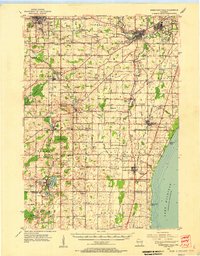 1954 Sheboygan Falls1956 Print · USGSCoastal Sheboygan and Ozaukee counties appear here in the mid-1950s, showing a landscape of dairy farms, mill ponds, and emerging industrial centers. Genealogists can trace family names at St Patrick Ch, find rural schoolhouses like Hoard Sch, or locate the lakefront Sauk Trail Beach.2 unique versions available
 - 1954 Map of Milwaukee, 1967 Print
 1954 Milwaukee1967 Print · USGSCoastal life and maritime commerce across Lake Michigan are seen here during the mid-fifties, bridging Wisconsin's industrial hubs and Michigan's timberlands. Genealogists and historians can trace the rail lines of the Grand Trunk Western and find long-established ports like Ludington, Port Washington, and Muskegon.3 unique versions available
 - 1958 Map of Milwaukee
 1958 Milwaukee1958 Print · USGSThe shorelines of Lake Michigan in the late fifties reveal a landscape of bustling ferry ports and growing industrial suburbs. Genealogists and historians can trace rail networks like the Chesapeake & Ohio and locate landmarks such as Little Sable Point and Holy Cross Church.
 - 1974 Map of Random Lake, 1977 Print
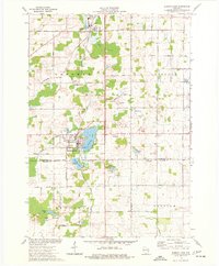 1974 Random Lake1977 Print · USGSSheboygan and Ozaukee counties are shown here in the 1970s, as traditional rail corridors and rural townships began to accommodate new parks and utilities. You can trace family roots at Emmanuel Cem, locate the Indian Mound, or follow the Milwaukee Road rail line.
 - 1989 Map of Sheboygan, 1990 Print
 1989 Sheboygan1990 Print · USGSCoastal Wisconsin thrived in the late eighties as the industrial corridor between Sheboygan and Belgium expanded along the lake. Genealogists and local researchers can trace old township lines and small settlements like Howards Grove, Hingham, and Gibbsville.
 - 2010 Map of Random Lake, 2010 Print
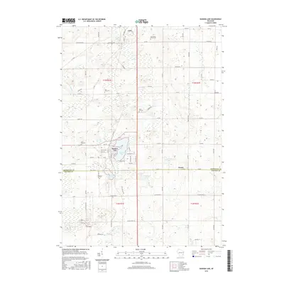
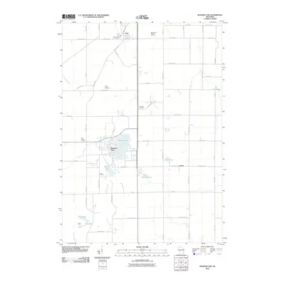 2010 Random Lake2010 Print · USGSCovers Dacada, including Random Lake, Adell, and other nearby areas
 - 2013 Map of Random Lake, 2013 Print
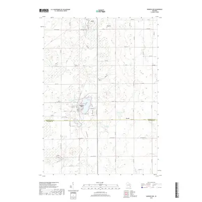
 2013 Random Lake2013 Print · USGSCovers Dacada, including Random Lake, Adell, and other nearby areas
 - 2016 Map of Random Lake, 2016 Print
 2016 Random Lake2016 Print · USGSCovers Dacada, including Random Lake, Adell, and other nearby areas
 - 2018 Map of Random Lake, 2018 Print
 2018 Random Lake2018 Print · USGSCovers Dacada, including Random Lake, Adell, and other nearby areas
 - 2022 Map of Random Lake, 2022 Print
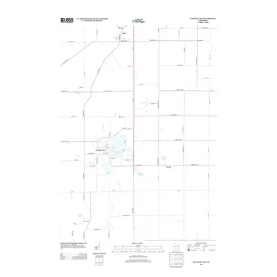
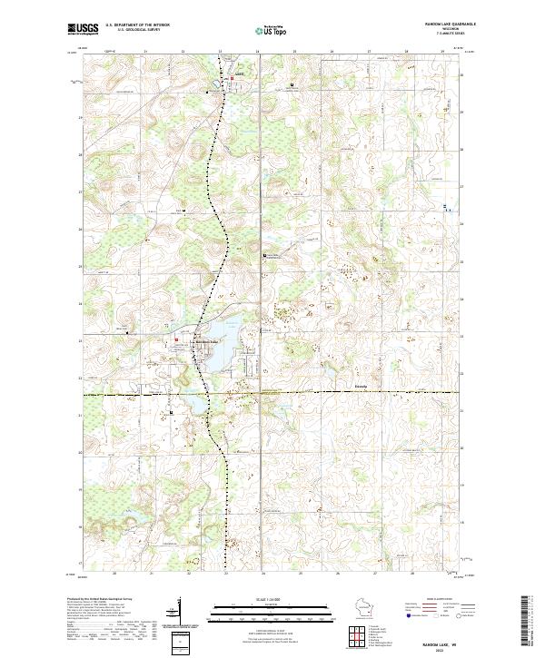 2022 Random Lake2022 Print · USGSThe Wisconsin lake country of Sheboygan and Ozaukee Counties comes into focus on this 2022 survey. Genealogists can trace family heritage through numerous parish sites like Saint Johns Cem and Union Cem or explore the settlements of Adell and Dacada.
End of results
Showing maps 1-10 of 10
Top cities near Dacada
- Sheboygan historical maps
- West Bend historical maps
- Grafton historical maps
- Cedarburg historical maps
- Port Washington historical maps
- Plymouth historical maps
See more
Frequently asked questions
- What are the different types of historical maps available for Dacada?
- What is the oldest map of Dacada?
- Where can I purchase historical maps of Dacada for my home or office?
- Where can I download high-res historical maps of Dacada?
- Are there historical topographic maps available for Dacada?
- Is there historical aerial imagery available for Dacada?
- Where are historical maps of Dacada sourced from?