2000s (21st Century) Maps of Sherman, Wisconsin
Explore 20 historic maps of Sherman from the 2000s (21st Century). These maps offer a rare glimpse into what life looked like during the 2000s — showing old roads, neighborhoods, homes, and landmarks that have changed or disappeared over time.
Whether you're researching your family's past, planning a metal detecting trip, or studying how Sherman's landscape evolved across the 2000s, these high-resolution maps are a powerful tool for exploring the history of this region.
- Focus on a specific era: All maps on this page are from the 2000s, giving you a focused view of this time period.
- See what’s changed: Compare century-old streets, trails, and buildings to today's modern landscape using overlays and satellite layers.
- Research with precision: Use these maps for genealogy, historical research, land use analysis, or educational projects.
- View, download, or print: Maps are fully viewable online in high resolution, and can be downloaded or printed for your own records.
Start exploring Sherman's history through authentic maps from the 2000s. This is your window into the past.
Sherman, WI maps
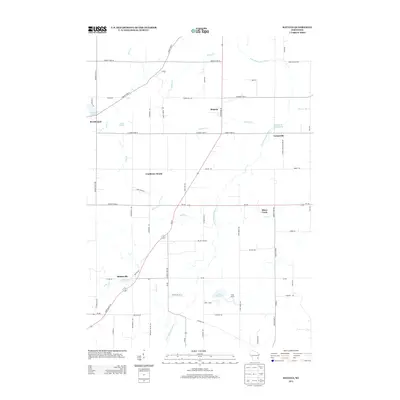
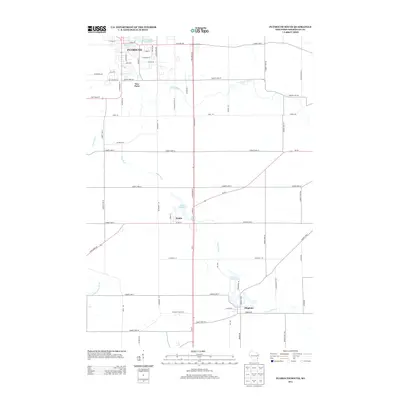
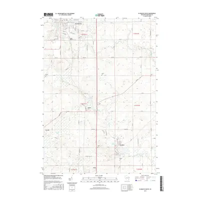
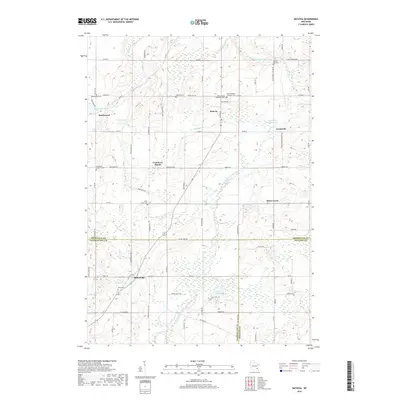
(20)- 2010 Map of Plymouth South, 2010 Print
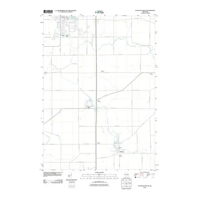 2010 Plymouth South2010 Print · USGSCovers Sherman, including Plymouth, Adell, and other nearby areas
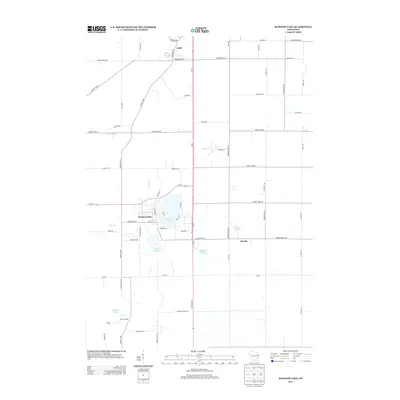
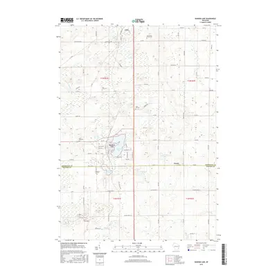
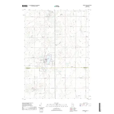
 - 2010 Map of Random Lake, 2010 Print
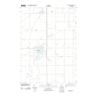 2010 Random Lake2010 Print · USGSCovers Sherman, including Random Lake, Adell, and other nearby areas
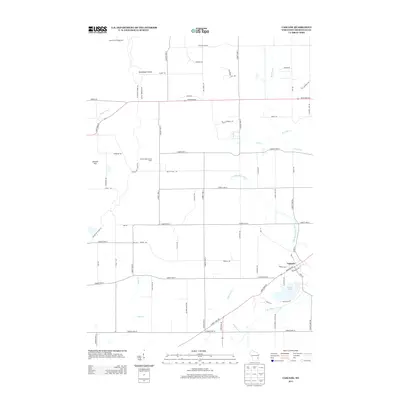
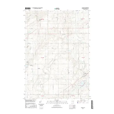
 - 2010 Map of Cascade, 2010 Print
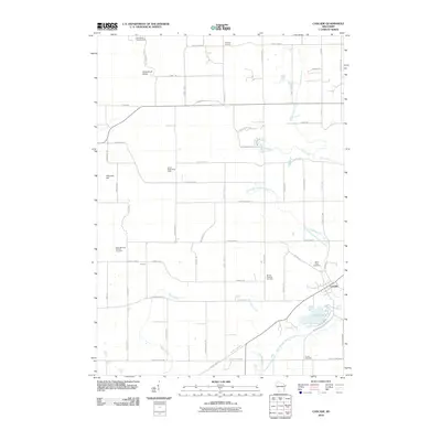 2010 Cascade2010 Print · USGSCovers Sherman, including Greenbush, Cascade, and other nearby areas
 - 2010 Map of Batavia, 2010 Print
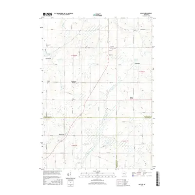
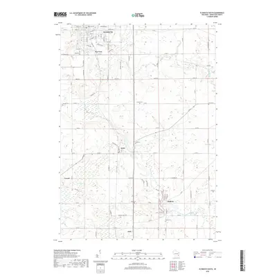
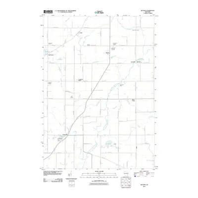 2010 Batavia2010 Print · USGSCovers Sherman, including Beechwood, Boltonville, and other nearby areas
 - 2013 Map of Batavia, 2013 Print
 2013 Batavia2013 Print · USGSCovers Sherman, including Beechwood, Boltonville, and other nearby areas
 - 2013 Map of Cascade, 2013 Print
 2013 Cascade2013 Print · USGSCovers Sherman, including Greenbush, Cascade, and other nearby areas
 - 2013 Map of Random Lake, 2013 Print
 2013 Random Lake2013 Print · USGSCovers Sherman, including Random Lake, Adell, and other nearby areas
 - 2013 Map of Plymouth South, 2013 Print
 2013 Plymouth South2013 Print · USGSCovers Sherman, including Plymouth, Adell, and other nearby areas
 - 2015 Map of Batavia, 2015 Print
 2015 Batavia2015 Print · USGSCovers Sherman, including Beechwood, Boltonville, and other nearby areas
 - 2015 Map of Cascade, 2015 Print
 2015 Cascade2015 Print · USGSCovers Sherman, including Greenbush, Cascade, and other nearby areas
 - 2016 Map of Plymouth South, 2016 Print
 2016 Plymouth South2016 Print · USGSCovers Sherman, including Plymouth, Adell, and other nearby areas
 - 2016 Map of Random Lake, 2016 Print
 2016 Random Lake2016 Print · USGSCovers Sherman, including Random Lake, Adell, and other nearby areas
 - 2018 Map of Random Lake, 2018 Print
 2018 Random Lake2018 Print · USGSCovers Sherman, including Random Lake, Adell, and other nearby areas
 - 2018 Map of Plymouth South, 2018 Print
 2018 Plymouth South2018 Print · USGSCovers Sherman, including Plymouth, Adell, and other nearby areas
 - 2018 Map of Cascade, 2018 Print
 2018 Cascade2018 Print · USGSCovers Sherman, including Greenbush, Cascade, and other nearby areas
 - 2018 Map of Batavia, 2018 Print
 2018 Batavia2018 Print · USGSCovers Sherman, including Beechwood, Boltonville, and other nearby areas
 - 2022 Map of Cascade, 2022 Print
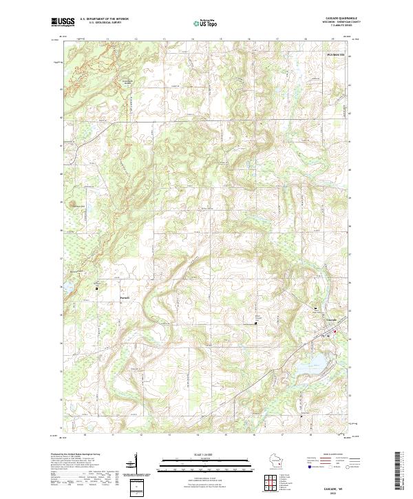 2022 Cascade2022 Print · USGSSheboygan County's glacial topography and rural settlements are preserved in this recent survey of the Kettle Moraine region. Historians can trace the Ice Age National Scenic Trail past landmarks like Parnell Esker and family heritage sites like Saint Michael's Cem.
 - 2022 Map of Random Lake, 2022 Print
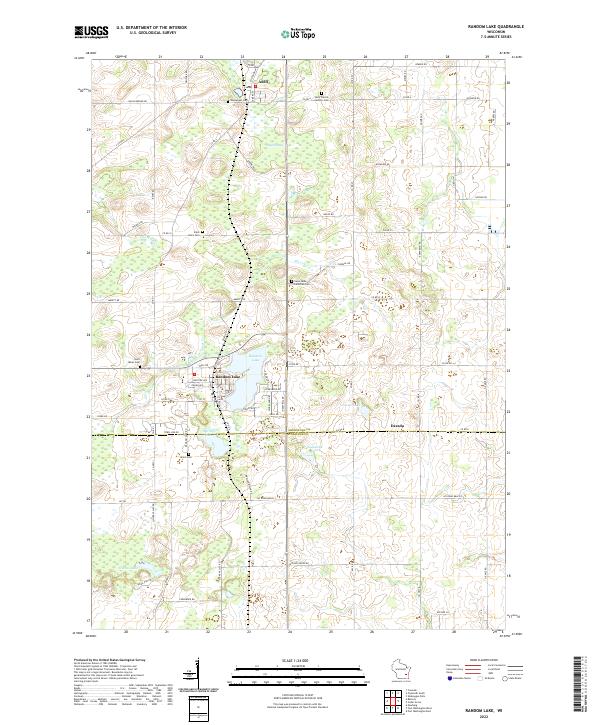 2022 Random Lake2022 Print · USGSThe Wisconsin lake country of Sheboygan and Ozaukee Counties comes into focus on this 2022 survey. Genealogists can trace family heritage through numerous parish sites like Saint Johns Cem and Union Cem or explore the settlements of Adell and Dacada.
 - 2022 Map of Plymouth South, 2022 Print
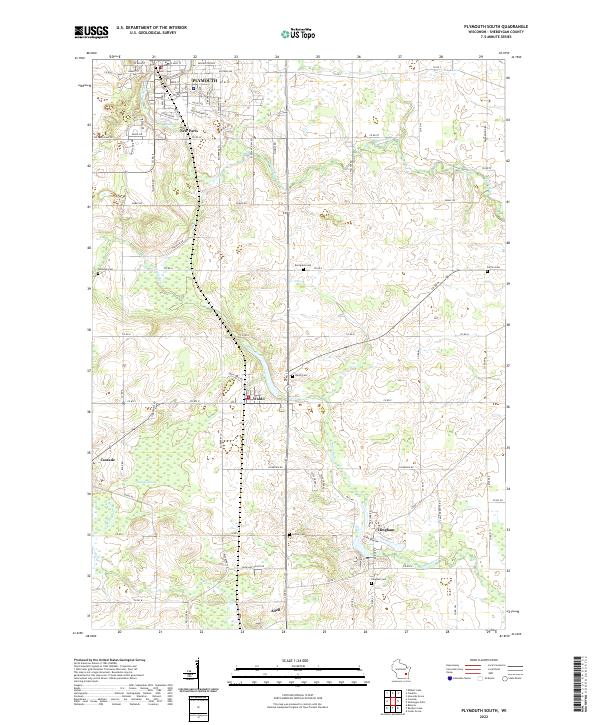 2022 Plymouth South2022 Print · USGSSouthern Sheboygan County in the early 2020s shows a landscape of river-valley settlements and rural crossroads. Local historians can trace family plots at Winooski Cem or navigate the watercourses of Onion River and Cascade Swamp.
 - 2022 Map of Batavia, 2022 Print
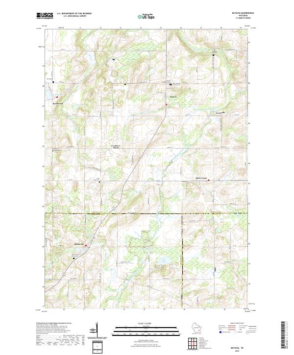 2022 Batavia2022 Print · USGSThe rural landscapes of Sheboygan and Washington counties are documented here in recent detail, showing a network of small hamlets and family farmsteads. Researchers can locate numerous pioneer burial sites such as Winfield Cem and trace the waters of the North Branch Milwaukee River past the Gooseville Millpond.
End of results
Showing maps 1-20 of 20
Top cities near Sherman
- Sheboygan historical maps
- West Bend historical maps
- Port Washington historical maps
- Plymouth historical maps
- Town of Sheboygan historical maps
- Sheboygan Falls historical maps
See more
Top neighborhoods of Sherman
Frequently asked questions
- What are the different types of historical maps available for Sherman?
- What is the oldest map of Sherman?
- Where can I purchase historical maps of Sherman for my home or office?
- Where can I download high-res historical maps of Sherman?
- Are there historical topographic maps available for Sherman?
- Is there historical aerial imagery available for Sherman?
- Where are historical maps of Sherman sourced from?