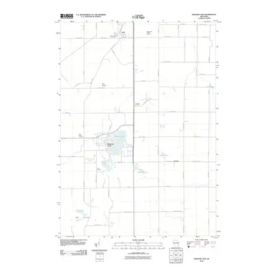
2010 Map of Random Lake
USGS Topo · Published 2010About this map
Random Lake and its surrounding countryside reflect a deeply rooted rural layout where water and faith define the landscape. The village of Adell and the community of Dacada serve as primary anchors, connected by a network of thoroughfares like County Hwy-A and County Hwy-I. The prominence of several denominations is evident through the numerous burial grounds marking the terrain, including Saint Marys Cemetery, Union Cemetery, and Saint Patrick Catholic Cemetery.
Find a feature on this map
60 named features on this map. Tap any name to fly to it.
Don’t see what you’re looking for? This feature index may not catch every label — zoom into the map to look around manually.
Map Details
Editions of this 2010 Random Lake Map
This is the sole edition of this map. No revisions or reprints were ever made.
Other maps of this area

1892 · Port Washington
USGS Topo · 1:62,500

1904 · West Bend
USGS Topo · 1:62,500

1904 · Port Washington
USGS Topo · 1:62,500

1954 · Sheboygan Falls
USGS Topo · 1:62,500

1954 · Sheboygan Falls
USGS Topo · 1:24,000

1954 · Milwaukee
USGS Topo · 1:250,000

1955 · Kewaskum
USGS Topo · 1:62,500

1957 · Madison
USGS Topo · 1:250,000

1958 · Milwaukee
USGS Topo · 1:250,000
1958 · Port Washington East
USGS Topo · 1:24,000