2000s (21st Century) Maps of Taylor County, Wisconsin
Explore 173 historic maps of Taylor County from the 2000s (21st Century). These maps offer a rare glimpse into what life looked like during the 2000s — showing old roads, neighborhoods, homes, and landmarks that have changed or disappeared over time.
Whether you're researching your family's past, planning a metal detecting trip, or studying how Taylor County's landscape evolved across the 2000s, these high-resolution maps are a powerful tool for exploring the history of this region.
- Focus on a specific era: All maps on this page are from the 2000s, giving you a focused view of this time period.
- See what’s changed: Compare century-old streets, trails, and buildings to today's modern landscape using overlays and satellite layers.
- Research with precision: Use these maps for genealogy, historical research, land use analysis, or educational projects.
- View, download, or print: Maps are fully viewable online in high resolution, and can be downloaded or printed for your own records.
Start exploring Taylor County's history through authentic maps from the 2000s. This is your window into the past.
Taylor County, WI maps
(173)- 2005 Map of Jump River Fire Tower NE, 2006 Print
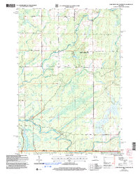 2005 Jump River Fire Tower NE2006 Print · USGSUpper Price County and Taylor County meet along the Jump River at the dawn of the millennium, showcasing a landscape of managed forests and waterways. Researchers can trace the river's path through Big Falls, find the Steve Greek Flowage, and locate several Gravel Pits along rural routes.
 - 2005 Map of Lublin SE, 2006 Print
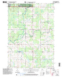 2005 Lublin SE2006 Print · USGSTaylor and Clark Counties at the start of the new millennium reveal a landscape of managed forests and established township life. Researchers can locate family landmarks like St Marys Ch, the Poplar Grove Sch, and several Gravel Pits along the Black River.
 - 2005 Map of Ogema NW, 2006 Print
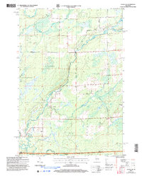 2005 Ogema NW2006 Print · USGSNorthern Wisconsin's timberlands and river forks are captured here at the dawn of the millennium. Trace the path of the North Fork Jump River through Ogema and find landmarks like Hallberg Hill and Silver Creek.
 - 2005 Map of Mondeaux Dam, 2006 Print
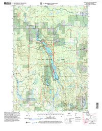 2005 Mondeaux Dam2006 Print · USGSNorthern Wisconsin's glacial forest landscape is captured here in the early 2000s, centered on the Mondeaux Flowage. Trace the path of the National Scenic Trail past recreation sites like Spearhead and Picnic Point.
 - 2005 Map of Jump River Fire Tower, 2006 Print
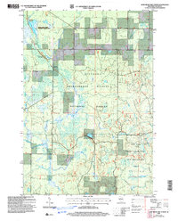 2005 Jump River Fire Tower2006 Print · USGSTaylor County forest lands are captured here in the early 2000s, showing a landscape defined by conservation and glacial history. Trace the remote trails of the Ice Age Semi Primitive Non Motorized Area or locate the Jump River Fire Tower and Lost Lake.
 - 2005 Map of Jump River Fire Tower SW, 2006 Print
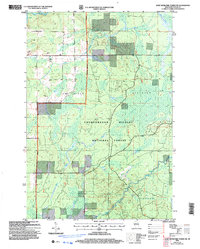 2005 Jump River Fire Tower SW2006 Print · USGSTaylor County forest lands are captured here during the early 2000s, showcasing a landscape defined by the Forest Service. Researchers can trace the winding paths of the Jump River and Yellow River or locate the boundaries of Kidby Swamp.
 - 2005 Map of Perkinstown, 2006 Print
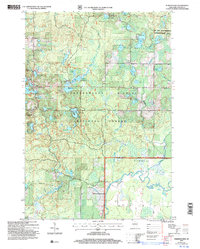 2005 Perkinstown2006 Print · USGSThe Taylor County woods and wetlands are captured here just after the turn of the millennium, showing the intricate landscape of the Chequamegon Nicolet National Forest. Researchers can locate family roots at the Perkinstown Cem or trace the winding path of the Ice Age Interpretative Trail.
 - 2005 Map of Medford NW, 2006 Print
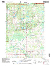 2005 Medford NW2006 Print · USGSNorthwestern Taylor County is shown here in the mid-2000s, where the national forest meets the agricultural headwaters of the Black River. Genealogists can locate family landmarks like the Molitor Cem, Brookside Sch, and the Townhall.
 - 2005 Map of Ogema, 2006 Print
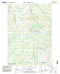 2005 Ogema2006 Print · USGSThe settlement of Ogema and the surrounding Price County woods are captured here at the start of the twenty-first century. Genealogists and hikers can trace family-named routes like Hallstrand Road or find the Hillside Cem and Levitt Creek Cem.
 - 2005 Map of Lublin NW, 2006 Print
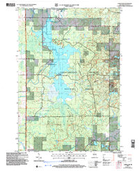 2005 Lublin NW2006 Print · USGSTaylor County's managed forest lands and river systems are shown here in the early 2000s, reflecting a landscape shaped by both water management and outdoor recreation. Trace the footprint of the Chippewa Flowage, the Miller Dam, and local settlements like Hughey.
 - 2005 Map of Jump River Fire Tower NW, 2006 Print
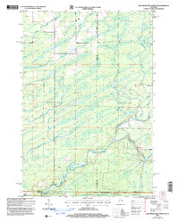 2005 Jump River Fire Tower NW2006 Print · USGSThe wooded borderlands of Rusk and Price counties are captured here in the early 2000s, showing a landscape shaped by the Jump River and its many forks. Genealogists and local historians can trace the rural road network including Big Falls Road and the timber-rich reaches of the Chequamegon-Nicolet National Forest.
 - 2005 Map of Lublin, 2006 Print
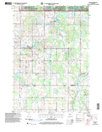 2005 Lublin2006 Print · USGSTaylor and Clark counties meet here in the early 2000s, where the national forest gives way to rural townships and river headwaters. Researchers can trace local heritage through sites like St Marys Cem, Lublin, and the Diamond Lake Recreation Area.
 - 2005 Map of Westboro, 2006 Print
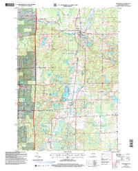 2005 Westboro2006 Print · USGSTaylor County's lake-strewn timberland is captured here at the start of the millennium, showing the transition from forest to settlement. Researchers can locate family sites near Westboro, Mount Olive Cem, and the path of the Ice Age National Scenic Trail.
 - 2010 Map of Athens, 2010 Print
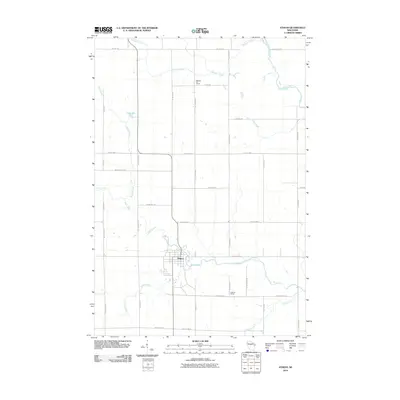 2010 Athens2010 Print · USGSMarathon County farmland surrounds the village of Athens in the first decade of the 21st century. Genealogists and local historians can trace family-named roads and locate rural landmarks like the Baldwin Hill School, Hoffman School, and the banks of Black Creek.
 - 2010 Map of Bellinger, 2010 Print
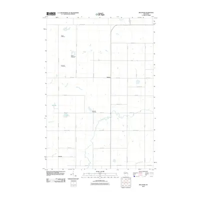 2010 Bellinger2010 Print · USGSThe Taylor County countryside at the turn of the decade reveals a landscape shaped by the North Fork Eau Claire River and its many tributaries. Genealogists and local historians can trace the small settlements of Bellinger and Eadsville alongside local landmarks like Mud Lake and the Propst G1976 Dam.
 - 2010 Map of Medford SW, 2010 Print
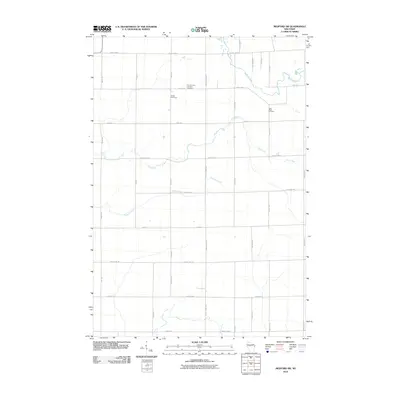 2010 Medford SW2010 Print · USGSTaylor County agriculture and faith-based settlements are documented here in the early twenty-first century. Genealogists and local historians can trace property locations near the Amish Cemetery, Little Black Cemetery, and the banks of Trappers Creek.
 - 2010 Map of Corinth, 2010 Print
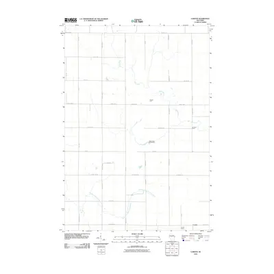 2010 Corinth2010 Print · USGSThe rural community of Corinth and its surrounding Taylor County farmland are documented here as they appeared in 2010. Genealogists and local historians can trace the landscape around Van Buren School, the Corinth Airport, and the Black Creek 3WR130 Dam.
 - 2010 Map of Wood Lake, 2010 Print
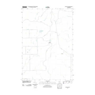 2010 Wood Lake2010 Print · USGSLincoln County’s timber and water systems are on full display here in the first decade of the new millennium. You can trace the rural crossroads at New Wood Junction or study the hydraulic engineering of the Camp 8 Flowage 3WR341 Dam and 1 Reservoir.
 - 2010 Map of Spirit, 2010 Print
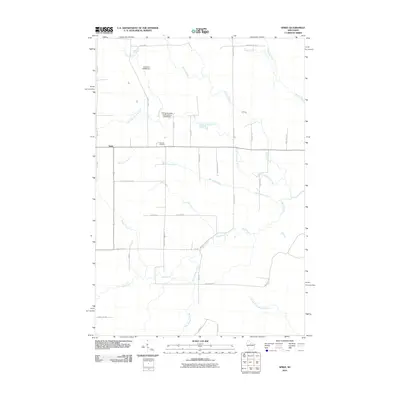 2010 Spirit2010 Print · USGSSpirit and its surrounding townships in Price County are shown here at the start of the twenty-first century. Genealogists and local historians can trace family locations near Hillcrest Cemetery or along historic routes like German Settlement Rd and Cheese Factory Rd.
 - 2010 Map of Ruby, 2010 Print
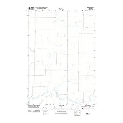 2010 Ruby2010 Print · USGSChippewa County is documented here at the turn of the twenty-first century, showcasing the rural settlement of Ruby and the winding Yellow River. Local researchers can locate the Yellow River Cemetery or trace the drainage of Fisher River and Christmas Creek.
 - 2010 Map of Timms Hill, 2010 Print
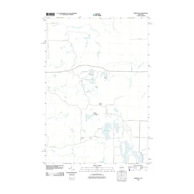 2010 Timms Hill2010 Print · USGSThis Taylor County landscape near Westboro centers on the state's highest point as it appeared in the early 21st century. Researchers can locate family landmarks like the Garden of Memory Cemetery or trace the drainage of Timms Lake and the Spirit River.
 - 2010 Map of Stetsonville, 2010 Print
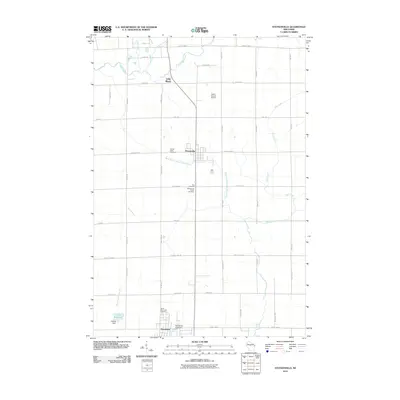 2010 Stetsonville2010 Print · USGSThe Taylor County countryside comes into focus at the start of the 2010s, revealing a landscape of dairy farms and vital rural crossroads. Genealogists can locate several burial grounds like Zion Cemetery and North Memorial Cemetery, or trace the winding course of the Black River.
 - 2010 Map of Gilman, 2010 Print
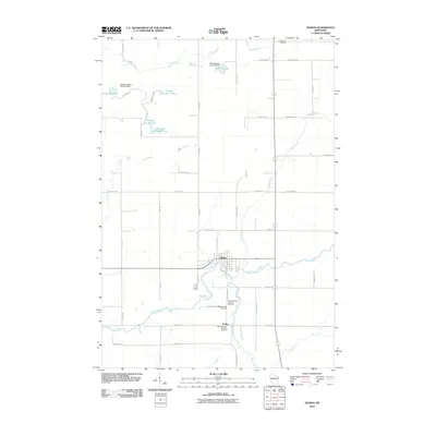 2010 Gilman2010 Print · USGSTaylor County agriculture and water management are at the forefront of this 2010 look at the Gilman area. Genealogists and researchers can locate family burial sites at Hannibal Cemetery or Meadowbrook Catholic Cemetery and trace the small community of Polley.
 - 2010 Map of Sheldon NE, 2010 Print
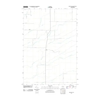 2010 Sheldon NE2010 Print · USGSTaylor County's rural landscape is documented here in the early twenty-first century, showing a network of grid-pattern roads and winding waterways. Researchers can locate family landmarks like the South Lawrence Cemetery or trace the paths of Crazy Horse Creek and the Little Jump River.
 - 2010 Map of Huron, 2010 Print
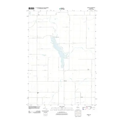 2010 Huron2010 Print · USGSChippewa County settlements and waterways are documented in this late-career survey of the rural Wisconsin landscape. Genealogists and local researchers can locate landmarks like Huron, the Otter Lake 2WP315 Dam, and the Gilman Lookout Tower.
Showing maps 1-25 of 173
Top cities of Taylor County
- Medford historical maps
- Little Black historical maps
- Rib Lake historical maps
- Chelsea historical maps
- Westboro historical maps
- Stetsonville historical maps
See more
Frequently asked questions
- What are the different types of historical maps available for Taylor County?
- What is the oldest map of Taylor County?
- Where can I purchase historical maps of Taylor County for my home or office?
- Where can I download high-res historical maps of Taylor County?
- Are there historical topographic maps available for Taylor County?
- Is there historical aerial imagery available for Taylor County?
- Where are historical maps of Taylor County sourced from?