Old Maps of Browning, Wisconsin for Academic Research
Study the evolution of Browning with 30 high-resolution historic maps. Whether you're teaching, researching, or modeling changes in land use, these maps provide essential visual documentation of urban, environmental, and geographic change.
- Analyze long-term change: Track patterns in development, transportation, and natural features.
- Ideal for environmental or urban studies: Support academic projects with primary historical map data.
- Use in the classroom or lab: Educators and researchers rely on these maps to bring historical context to life.
These maps are a powerful tool for teaching, research, and visualizing how Browning has changed over the decades.
Browning, WI maps
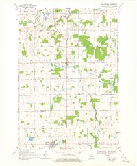
(30)- 1902 Map of Marathon, 1938 Print
 1902 Marathon1938 Print · USGSMarathon County is captured here at the height of the timber era, when a dense network of logging railroads and new settlements defined the central Wisconsin woods. Genealogists and historians can trace early town sites like Athens, Rib Falls, and the specialized Connors Logging R. R.
 - 1951 Map of Athens, 1954 Print
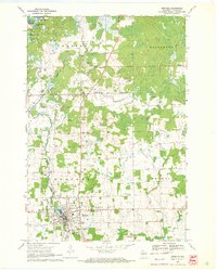
 1951 Athens1954 Print · USGSMarathon and Taylor Counties are captured here in the early fifties, showing a rural landscape organized around the Soo Line railroad. Genealogists can locate dozens of country schools and churches like St Peter Ch, Goodrich Ch, and Corinth Sch.2 unique versions available
 - 1951 Map of Medford, 1954 Print
 1951 Medford1954 Print · USGSMedford and the surrounding Taylor County townships are captured here in the early fifties, showing a landscape defined by dairy farming and rail transport. Genealogists can locate numerous country schoolhouses like Thielke Sch and rural burial grounds including Little Black Cem.
 - 1953 Map of Rice Lake, 1967 Print
 1953 Rice Lake1967 Print · USGSNorthwest Wisconsin during the mid-fifties reveals a landscape defined by timber, rail, and water. Genealogists and historians can trace the development of river towns like Ladysmith and Rice Lake along the Soo Line and Chicago and North Western railroads.2 unique versions available
 - 1959 Map of Rice Lake
 1959 Rice Lake1959 Print · USGSNorthwest Wisconsin in the late fifties was a land of expanding road networks and deep-seated timber history. Genealogists and historians can trace rail lines like the Soo Line RR and Chicago St Paul Minneapolis and Omaha Ry as they link settlements from Spooner to Medford.
 - 1969 Map of Stetsonville, 1971 Print
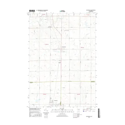
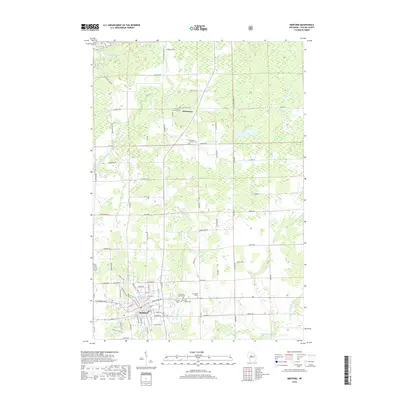
 1969 Stetsonville1971 Print · USGSThe dairy lands of Central Wisconsin are documented here in the late sixties, showing the rural communities of Stetsonville and Dorchester along the Soo Line. Genealogists and historians can locate legacy sites like Sacred Heart Cem, Victory Sch, and the North Memorial Cem.
 - 1969 Map of Medford, 1972 Print
 1969 Medford1972 Print · USGSThe rail-and-river corridor of central Taylor County comes to life in this late sixties survey of Whittlesey and the surrounding townships. Genealogists can trace family connections at Our Lady of Perpetual Help Ch, Evergreen Cem, and the Rolling Acres Sch.
 - 1979 Map of Rib River Lookout Tower, 1980 Print
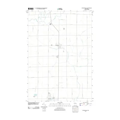
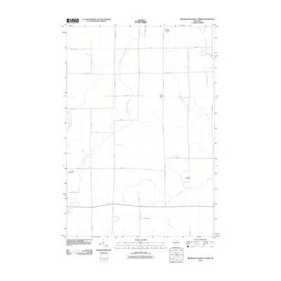
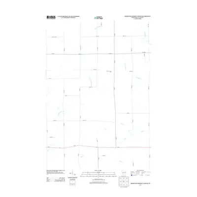
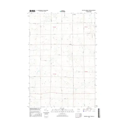
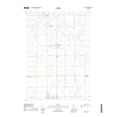
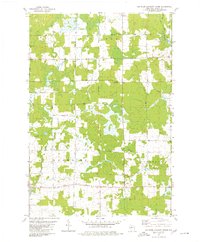 1979 Rib River Lookout Tower1980 Print · USGSTaylor County farmland and forests are documented here in the late seventies, showing the rural structure of the Greenwood and Browning townships. Genealogists and historians can locate rural landmarks like St Peter Ch, Cloverdale Sch, and the Rib River Lookout Tower.2 unique versions available
 - 1980 Map of Corinth
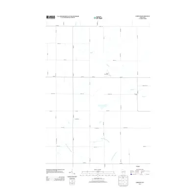
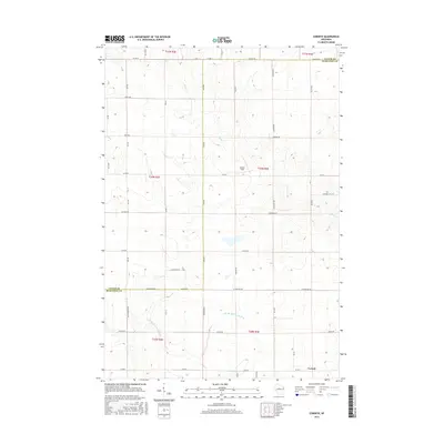
 1980 Corinth1980 Print · USGSMarathon and Taylor Counties are shown in the late seventies as a landscape of small townships and river valleys. Genealogists and historians can trace the Corinth settlement, the Old Railroad Grade, and local landmarks like Kreie Sch.
 - 1980 Map of Medford
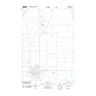
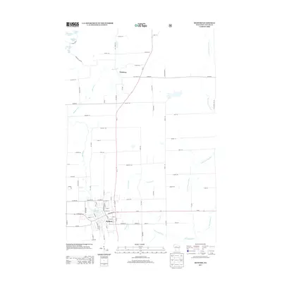
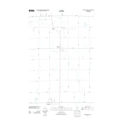
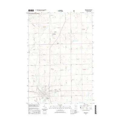
 1980 Medford1980 Print · USGSNorth-central Wisconsin in the early eighties shows a landscape of dense timber and rail-linked settlements. Genealogists and historians can trace the Soo Line through towns like Medford and Westboro or locate family homesteads near Perkinstown and Athens.
 - 2010 Map of Corinth, 2010 Print
 2010 Corinth2010 Print · USGSCovers Browning, including Goodrich, Deer Creek, and other nearby areas
 - 2010 Map of Stetsonville, 2010 Print
 2010 Stetsonville2010 Print · USGSCovers Browning, including Medford, Little Black, and other nearby areas
 - 2010 Map of Rib River Lookout Tower, 2010 Print
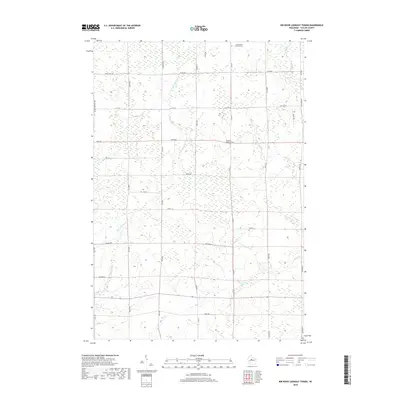
 2010 Rib River Lookout Tower2010 Print · USGSCovers Browning, including Goodrich, Greenwood, and other nearby areas
 - 2011 Map of Medford, 2011 Print
 2011 Medford2011 Print · USGSCovers Browning, including Medford, Chelsea, and other nearby areas
 - 2013 Map of Medford, 2013 Print
 2013 Medford2013 Print · USGSCovers Browning, including Medford, Chelsea, and other nearby areas
 - 2013 Map of Rib River Lookout Tower, 2013 Print
 2013 Rib River Lookout Tower2013 Print · USGSCovers Browning, including Goodrich, Greenwood, and other nearby areas
 - 2013 Map of Stetsonville, 2013 Print
 2013 Stetsonville2013 Print · USGSCovers Browning, including Medford, Little Black, and other nearby areas
 - 2013 Map of Corinth, 2013 Print
 2013 Corinth2013 Print · USGSCovers Browning, including Goodrich, Deer Creek, and other nearby areas
 - 2015 Map of Medford, 2015 Print
 2015 Medford2015 Print · USGSCovers Browning, including Medford, Chelsea, and other nearby areas
 - 2015 Map of Corinth, 2015 Print
 2015 Corinth2015 Print · USGSCovers Browning, including Goodrich, Deer Creek, and other nearby areas
 - 2015 Map of Rib River Lookout Tower, 2015 Print
 2015 Rib River Lookout Tower2015 Print · USGSCovers Browning, including Goodrich, Greenwood, and other nearby areas
 - 2015 Map of Stetsonville, 2015 Print
 2015 Stetsonville2015 Print · USGSCovers Browning, including Medford, Little Black, and other nearby areas
 - 2018 Map of Rib River Lookout Tower, 2018 Print
 2018 Rib River Lookout Tower2018 Print · USGSCovers Browning, including Goodrich, Greenwood, and other nearby areas
 - 2018 Map of Stetsonville, 2018 Print
 2018 Stetsonville2018 Print · USGSCovers Browning, including Medford, Little Black, and other nearby areas
 - 2018 Map of Medford, 2018 Print
 2018 Medford2018 Print · USGSCovers Browning, including Medford, Chelsea, and other nearby areas
Showing maps 1-25 of 30
Top cities near Browning
- Medford historical maps
- Abbotsford historical maps
- Little Black historical maps
- Athens historical maps
- Ogema historical maps
- Rib Lake historical maps
See more
Top neighborhoods of Browning
Frequently asked questions
- What are the different types of historical maps available for Browning?
- What is the oldest map of Browning?
- Where can I purchase historical maps of Browning for my home or office?
- Where can I download high-res historical maps of Browning?
- Are there historical topographic maps available for Browning?
- Is there historical aerial imagery available for Browning?
- Where are historical maps of Browning sourced from?