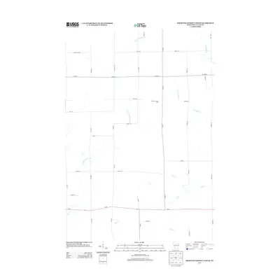
2013 Map of Rib River Lookout Tower
USGS Topo · Published 2013About this map
The Rib River Lookout Tower stands as a focal point in this portion of Taylor County, overlooking a landscape defined by the drainage networks of the Big Rib River and the E Br Little Black River. This area in central Wisconsin remains predominantly rural, characterized by a grid of local roads and county highways such as Co HWY-C and Co HWY-M that navigate the varied creek systems. Small tributaries including Joe Martin Cr, Coffee Cr, and Mink Cr lace the territory, indicating the well-watered nature of these northwoods lands. The concentration of family-named roads like Judnic RD, Janda Ave, and Dassow RD suggests a deep-rooted pattern of private land ownership and local heritage in the Goodrich area. The southern edge of the map is anchored by Wi-64, the primary east-west thoroughfare connecting these remote forest and farm tracts.
Find a feature on this map
34 named features on this map. Tap any name to fly to it.
Don’t see what you’re looking for? This feature index may not catch every label — zoom into the map to look around manually.
Map Details
Editions of this 2013 Rib River Lookout Tower Map
This is the sole edition of this map. No revisions or reprints were ever made.
Other maps of this area

1902 · Marathon
USGS Topo · 1:125,000

1944 · Ogema
USGS Topo · 1:48,000

1945 · Rib Lake
USGS Topo · 1:48,000

1947 · Rib Lake
USGS Topo · 1:48,000

1947 · Ogema
USGS Topo · 1:48,000

1949 · Ogema
USGS Topo · 1:48,000

1949 · Rib Lake
USGS Topo · 1:48,000

1951 · Athens
USGS Topo · 1:48,000

1951 · Medford
USGS Topo · 1:48,000

1953 · Rice Lake
USGS Topo · 1:250,000