Old Maps of Hughey, Cleveland for Genealogy
Trace your family roots with 11 historic maps of Hughey. These high-res maps reveal old neighborhoods, homesites, landmarks, and streets — helping you uncover where your ancestors lived and how the area evolved over time.
- Explore historic neighborhoods: Identify where your relatives may have lived in the 1800s or 1900s.
- Compare maps over time: Trace the changes in streets, buildings, and landmarks for multi-generational research.
- Perfect for genealogy & ancestry research: Used by family historians and researchers to map out lineage and migration.
These maps are an incredible resource for exploring your personal connection to Hughey's past.
Hughey, Cleveland maps
(11)- 1951 Map of Lublin, 1953 Print
 1951 Lublin1953 Print · USGSTaylor County agriculture meets the northern timberlands in the early fifties, centering on the rail hub of Lublin. Genealogists and historians can locate vanished rural schoolhouses like Redville Sch and trace the original paths of the MINNEAPOLIS ST PAUL AND SAULT STE MARIE railroad.
 - 1953 Map of Rice Lake, 1967 Print
 1953 Rice Lake1967 Print · USGSNorthwest Wisconsin during the mid-fifties reveals a landscape defined by timber, rail, and water. Genealogists and historians can trace the development of river towns like Ladysmith and Rice Lake along the Soo Line and Chicago and North Western railroads.2 unique versions available
 - 1959 Map of Rice Lake
 1959 Rice Lake1959 Print · USGSNorthwest Wisconsin in the late fifties was a land of expanding road networks and deep-seated timber history. Genealogists and historians can trace rail lines like the Soo Line RR and Chicago St Paul Minneapolis and Omaha Ry as they link settlements from Spooner to Medford.
 - 1969 Map of Lublin NW, 1972 Print
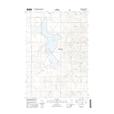
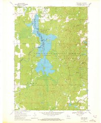 1969 Lublin NW1972 Print · USGSTaylor County’s timber and water resources are centered here in the late sixties, where the massive Chequamegon Waters Flowage meets the national forest. Researchers can trace the development of the Perkinstown Winter Sports Area Ski Slide and the rural roads near Hughey.3 unique versions available
 - 1980 Map of Medford
 1980 Medford1980 Print · USGSNorth-central Wisconsin in the early eighties shows a landscape of dense timber and rail-linked settlements. Genealogists and historians can trace the Soo Line through towns like Medford and Westboro or locate family homesteads near Perkinstown and Athens.
 - 2005 Map of Lublin NW, 2006 Print
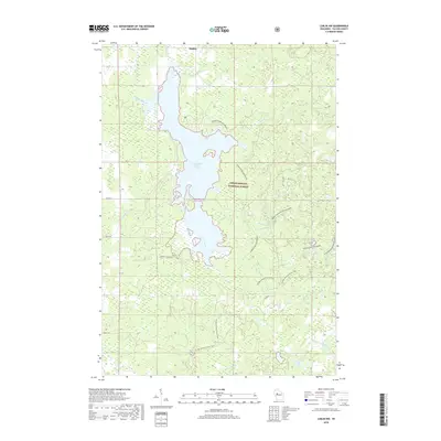
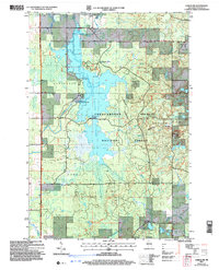 2005 Lublin NW2006 Print · USGSTaylor County's managed forest lands and river systems are shown here in the early 2000s, reflecting a landscape shaped by both water management and outdoor recreation. Trace the footprint of the Chippewa Flowage, the Miller Dam, and local settlements like Hughey.
 - 2011 Map of Lublin NW, 2011 Print
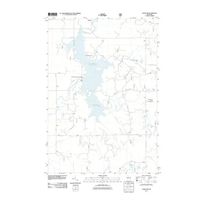 2011 Lublin NW2011 Print · USGSCovers Hughey, including Cleveland, Grover, and other nearby areas
 - 2013 Map of Lublin NW, 2013 Print
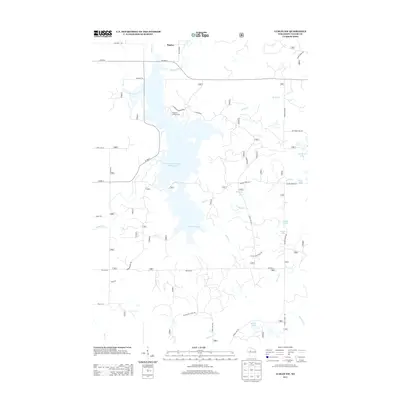 2013 Lublin NW2013 Print · USGSCovers Hughey, including Cleveland, Grover, and other nearby areas
 - 2015 Map of Lublin NW, 2015 Print
 2015 Lublin NW2015 Print · USGSCovers Hughey, including Cleveland, Grover, and other nearby areas
 - 2018 Map of Lublin NW, 2018 Print
 2018 Lublin NW2018 Print · USGSCovers Hughey, including Cleveland, Grover, and other nearby areas
 - 2022 Map of Lublin NW, 2022 Print
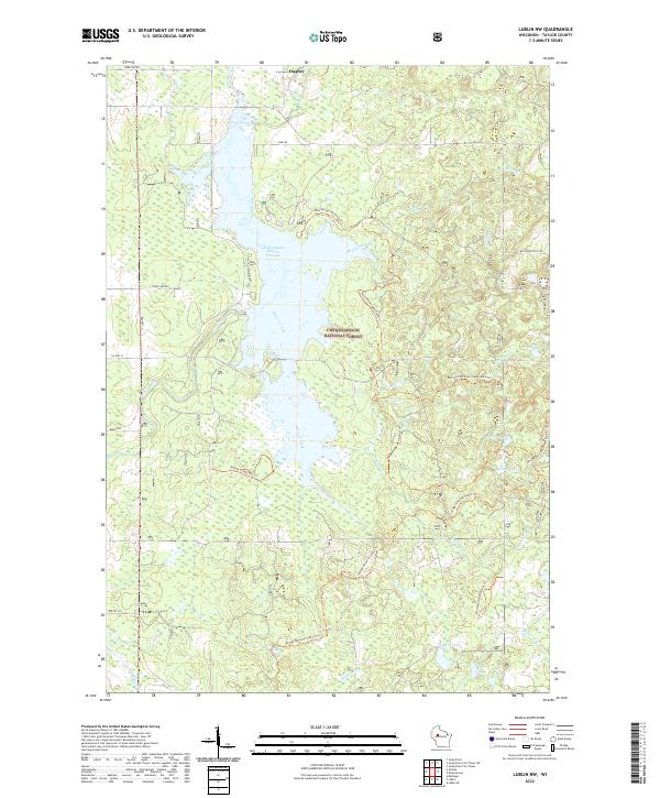 2022 Lublin NW2022 Print · USGSTaylor County's wooded interior is captured here recently, showing the intersection of the Chequamegon National Forest and the Yellow River valley. Outdoor historians and hikers can trace the Ice Age National Scenic Trl past remote waters like Marion Lake and Chub Lake.
End of results
Showing maps 1-11 of 11
Top cities near Hughey
- Ogema historical maps
- Colburn historical maps
- Westboro historical maps
- Gilman historical maps
- Ruby historical maps
- Maplehurst historical maps
See more
Frequently asked questions
- What are the different types of historical maps available for Hughey?
- What is the oldest map of Hughey?
- Where can I purchase historical maps of Hughey for my home or office?
- Where can I download high-res historical maps of Hughey?
- Are there historical topographic maps available for Hughey?
- Is there historical aerial imagery available for Hughey?
- Where are historical maps of Hughey sourced from?