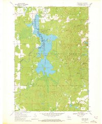
1969 Map of Lublin NW
USGS Topo · Published 1972About this map
The Chequamegon Waters Flowage dominates this central Wisconsin landscape, formed by the Miller Dam on the Yellow River. This vast reservoir is the centerpiece of the Chequamegon National Forest, which covers the majority of the area within the townships of Cleveland, Grover, and Ford. The map captures the region's mid-century recreational development, featuring the Chippewa Campground, multiple picnic areas, and the Perkinstown Winter Sports Area Ski Slide in the east.
Find a feature on this map
29 named features on this map. Tap any name to fly to it.
Don’t see what you’re looking for? This feature index may not catch every label — zoom into the map to look around manually.
Map Details
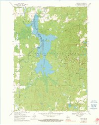
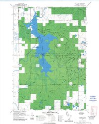
Editions of this 1969 Lublin NW Map
3 editions found
Other maps of this area

1945 · Black River
USGS Topo · 1:48,000

1947 · Sheldon
USGS Topo · 1:48,000

1949 · Sheldon
USGS Topo · 1:48,000

1949 · Jump River Fire Tower
USGS Topo · 1:48,000

1951 · Lublin
USGS Topo · 1:48,000

1951 · Gilman
USGS Topo · 1:62,500

1953 · Rice Lake
USGS Topo · 1:250,000

1959 · Rice Lake
USGS Topo · 1:250,000

1969 · Perkinstown
USGS Topo · 1:24,000
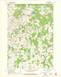
1969 · Lublin
USGS Topo · 1:24,000