Old Maps of Perkinstown, Grover for Metal Detecting
Plan your next treasure hunt with 11 historic maps of Perkinstown. Find old homesites, ghost towns, trails, and gathering spots that may be lost to time — perfect for identifying promising metal detecting locations.
- Locate forgotten sites: Uncover places like long-lost settlements, abandoned rail lines, or gathering spots.
- Plan better hunts: Use map overlays combined with LiDAR or satellite views to narrow in on historically rich areas.
- Made for detectorists: Thousands of hobbyists use these maps to discover relics, coins, and hidden history.
Use these historic maps to boost your research and find new opportunities beneath the surface of Perkinstown.
Perkinstown, Grover maps
(11)- 1951 Map of Lublin, 1953 Print
 1951 Lublin1953 Print · USGSTaylor County agriculture meets the northern timberlands in the early fifties, centering on the rail hub of Lublin. Genealogists and historians can locate vanished rural schoolhouses like Redville Sch and trace the original paths of the MINNEAPOLIS ST PAUL AND SAULT STE MARIE railroad.
 - 1953 Map of Rice Lake, 1967 Print
 1953 Rice Lake1967 Print · USGSNorthwest Wisconsin during the mid-fifties reveals a landscape defined by timber, rail, and water. Genealogists and historians can trace the development of river towns like Ladysmith and Rice Lake along the Soo Line and Chicago and North Western railroads.2 unique versions available
 - 1959 Map of Rice Lake
 1959 Rice Lake1959 Print · USGSNorthwest Wisconsin in the late fifties was a land of expanding road networks and deep-seated timber history. Genealogists and historians can trace rail lines like the Soo Line RR and Chicago St Paul Minneapolis and Omaha Ry as they link settlements from Spooner to Medford.
 - 1969 Map of Perkinstown, 1971 Print
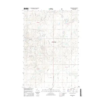
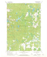 1969 Perkinstown1971 Print · USGSPerkinstown and the surrounding Chequamegon woods appear in the late sixties as a landscape of timber, glacial lakes, and legacy rail grades. Researchers can trace the Railroad Grade through the forest or locate family sites at Perkinstown Cem and Kathryn Lake Campground.3 unique versions available
 - 1980 Map of Medford
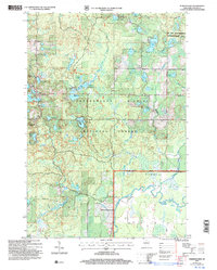
 1980 Medford1980 Print · USGSNorth-central Wisconsin in the early eighties shows a landscape of dense timber and rail-linked settlements. Genealogists and historians can trace the Soo Line through towns like Medford and Westboro or locate family homesteads near Perkinstown and Athens.
 - 2005 Map of Perkinstown, 2006 Print
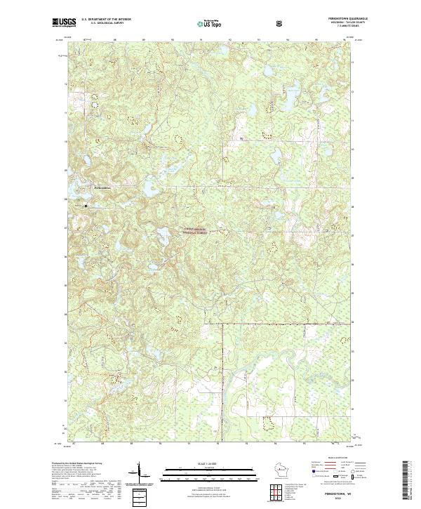
 2005 Perkinstown2006 Print · USGSThe Taylor County woods and wetlands are captured here just after the turn of the millennium, showing the intricate landscape of the Chequamegon Nicolet National Forest. Researchers can locate family roots at the Perkinstown Cem or trace the winding path of the Ice Age Interpretative Trail.
 - 2011 Map of Perkinstown, 2011 Print
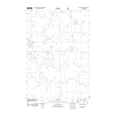 2011 Perkinstown2011 Print · USGSCovers Perkinstown, including Hammel, Grover, and other nearby areas
 - 2013 Map of Perkinstown, 2013 Print
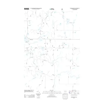 2013 Perkinstown2013 Print · USGSCovers Perkinstown, including Hammel, Grover, and other nearby areas
 - 2015 Map of Perkinstown, 2015 Print
 2015 Perkinstown2015 Print · USGSCovers Perkinstown, including Hammel, Grover, and other nearby areas
 - 2018 Map of Perkinstown, 2018 Print
 2018 Perkinstown2018 Print · USGSCovers Perkinstown, including Hammel, Grover, and other nearby areas
 - 2022 Map of Perkinstown, 2022 Print
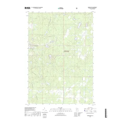
 2022 Perkinstown2022 Print · USGSTaylor County’s densely wooded lake country is captured here in the early twenty-first century, centered on the historic settlement of Perkinstown. Outdoor enthusiasts and researchers can trace the Ice Age National Scenic Trail as it snakes past Lake Nineteen and Nancy Lake through the Chequamegon National Forest.
End of results
Showing maps 1-11 of 11
Top cities near Perkinstown
- Little Black historical maps
- Ogema historical maps
- Chelsea historical maps
- Westboro historical maps
- Gilman historical maps
- Maplehurst historical maps
See more
Frequently asked questions
- What are the different types of historical maps available for Perkinstown?
- What is the oldest map of Perkinstown?
- Where can I purchase historical maps of Perkinstown for my home or office?
- Where can I download high-res historical maps of Perkinstown?
- Are there historical topographic maps available for Perkinstown?
- Is there historical aerial imagery available for Perkinstown?
- Where are historical maps of Perkinstown sourced from?