2000s (21st Century) Maps of Sumner, Wisconsin
Explore 10 historic maps of Sumner from the 2000s (21st Century). These maps offer a rare glimpse into what life looked like during the 2000s — showing old roads, neighborhoods, homes, and landmarks that have changed or disappeared over time.
Whether you're researching your family's past, planning a metal detecting trip, or studying how Sumner's landscape evolved across the 2000s, these high-resolution maps are a powerful tool for exploring the history of this region.
- Focus on a specific era: All maps on this page are from the 2000s, giving you a focused view of this time period.
- See what’s changed: Compare century-old streets, trails, and buildings to today's modern landscape using overlays and satellite layers.
- Research with precision: Use these maps for genealogy, historical research, land use analysis, or educational projects.
- View, download, or print: Maps are fully viewable online in high resolution, and can be downloaded or printed for your own records.
Start exploring Sumner's history through authentic maps from the 2000s. This is your window into the past.
Sumner, WI maps
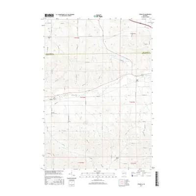
(10)- 2010 Map of Osseo, 2010 Print
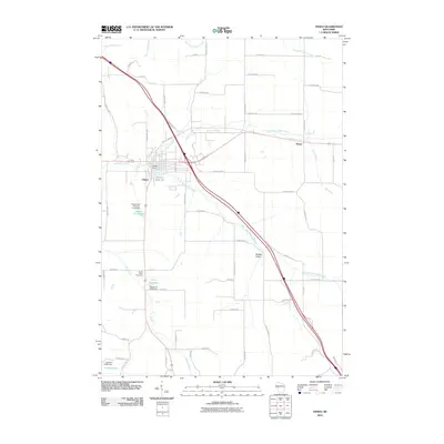 2010 Osseo2010 Print · USGSCovers Sumner, including Osseo, Hale, and other nearby areas
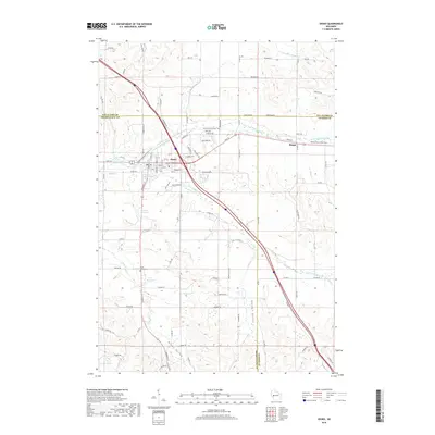
 - 2010 Map of Strum SE, 2010 Print
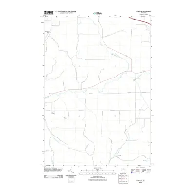 2010 Strum SE2010 Print · USGSCovers Sumner, including Strum, Hale, and other nearby areas
 - 2013 Map of Strum SE, 2013 Print
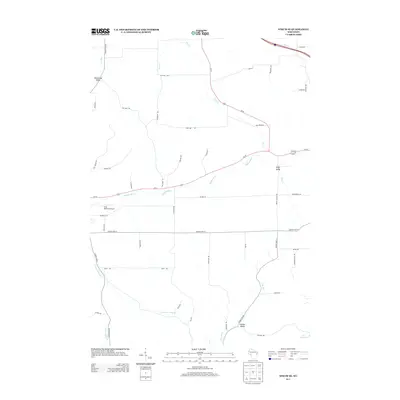 2013 Strum SE2013 Print · USGSCovers Sumner, including Strum, Hale, and other nearby areas
 - 2013 Map of Osseo, 2013 Print
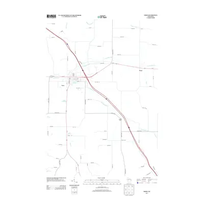 2013 Osseo2013 Print · USGSCovers Sumner, including Osseo, Hale, and other nearby areas
 - 2015 Map of Osseo, 2015 Print
 2015 Osseo2015 Print · USGSCovers Sumner, including Osseo, Hale, and other nearby areas
 - 2015 Map of Strum SE, 2015 Print
 2015 Strum SE2015 Print · USGSCovers Sumner, including Strum, Hale, and other nearby areas
 - 2018 Map of Osseo, 2018 Print
 2018 Osseo2018 Print · USGSCovers Sumner, including Osseo, Hale, and other nearby areas
 - 2018 Map of Strum SE, 2018 Print
 2018 Strum SE2018 Print · USGSCovers Sumner, including Strum, Hale, and other nearby areas
 - 2022 Map of Osseo, 2022 Print
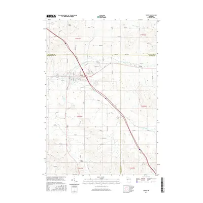
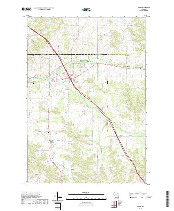 2022 Osseo2022 Print · USGSOsseo sits at the confluence of the Buffalo River forks in the early 2020s, anchoring a landscape of deep coulees and valley farms. Genealogists can locate family sites at Kings Valley Lutheran Church Cem or trace the old rail grade now known as the Buffalo River State Trl.
 - 2022 Map of Strum SE, 2022 Print
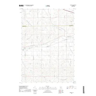
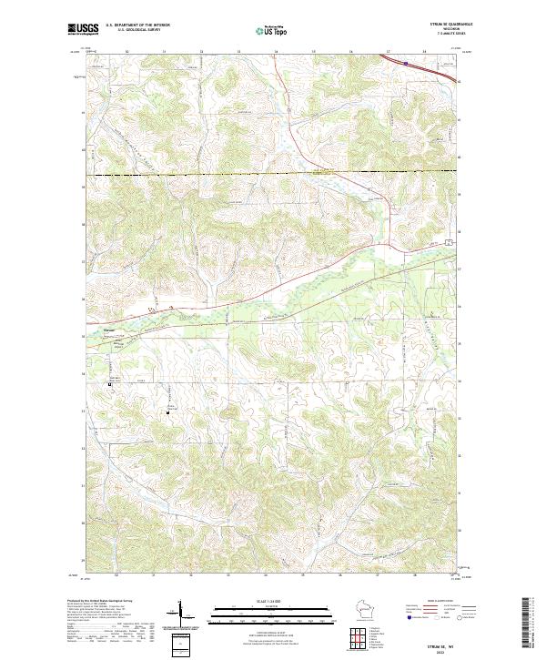 2022 Strum SE2022 Print · USGSWisconsin's coulee country and the Buffalo River valley are captured here in a contemporary snapshot of rural life and landscape. Genealogists can locate family landmarks like West Beef River Cem and Prairie View Cem or trace the path of the Buffalo River State Trl.
End of results
Showing maps 1-10 of 10
Top cities near Sumner
- Eau Claire historical maps
- Altoona historical maps
- Town of Washington historical maps
- Pleasant Valley historical maps
- Osseo historical maps
- Whitehall historical maps
See more
Frequently asked questions
- What are the different types of historical maps available for Sumner?
- What is the oldest map of Sumner?
- Where can I purchase historical maps of Sumner for my home or office?
- Where can I download high-res historical maps of Sumner?
- Are there historical topographic maps available for Sumner?
- Is there historical aerial imagery available for Sumner?
- Where are historical maps of Sumner sourced from?