Old Maps of Bloomfield, Wisconsin for Genealogy
Trace your family roots with 22 historic maps of Bloomfield. These high-res maps reveal old neighborhoods, homesites, landmarks, and streets — helping you uncover where your ancestors lived and how the area evolved over time.
- Explore historic neighborhoods: Identify where your relatives may have lived in the 1800s or 1900s.
- Compare maps over time: Trace the changes in streets, buildings, and landmarks for multi-generational research.
- Perfect for genealogy & ancestry research: Used by family historians and researchers to map out lineage and migration.
These maps are an incredible resource for exploring your personal connection to Bloomfield's past.
Bloomfield, WI maps
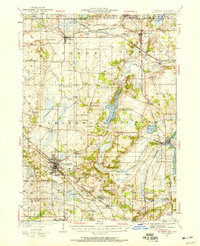
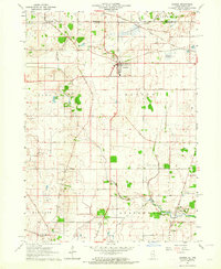
(22)- 1893 Map of Geneva
 1893 Geneva1893 Print · USGSCovers Bloomfield, including Burlington, Elkhorn, and other nearby areas2 unique versions available
 - 1904 Map of Lake Geneva, 1955 Print
 1904 Lake Geneva1955 Print · USGSCovers Bloomfield, including Burlington, Elkhorn, and other nearby areas
 - 1906 Map of Lake Geneva
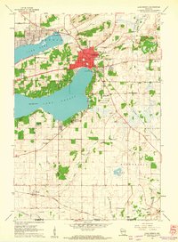
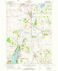
 1906 Lake Geneva1906 Print · USGSCovers Bloomfield, including Burlington, Elkhorn, and other nearby areas4 unique versions available
 - 1926 Map of Mc Henry
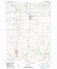
 1926 Mc Henry1926 Print · USGSCovers Bloomfield, including Crystal Lake, McHenry, and other nearby areas3 unique versions available
 - 1944 Map of McHenry, 1958 Print
 1944 McHenry1958 Print · USGSCovers Bloomfield, including Crystal Lake, McHenry, and other nearby areas2 unique versions available
 - 1954 Map of Rockford
 1954 Rockford1954 Print · USGSCovers Bloomfield, including Milwaukee, Madison, and other nearby areas
 - 1955 Map of Rockford
 1955 Rockford1955 Print · USGSCovers Bloomfield, including Milwaukee, Madison, and other nearby areas
 - 1958 Map of Rockford, 1974 Print
 1958 Rockford1974 Print · USGSCovers Bloomfield, including Milwaukee, Madison, and other nearby areas4 unique versions available
 - 1960 Map of Lake Geneva, 1962 Print
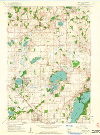
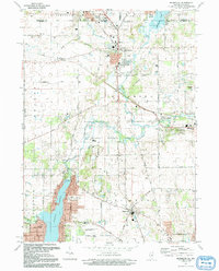
 1960 Lake Geneva1962 Print · USGSCovers Bloomfield, including Lake Geneva, Lyons, and other nearby areas3 unique versions available
 - 1960 Map of Genoa City, 1962 Print
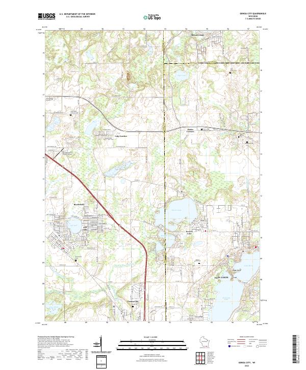
 1960 Genoa City1962 Print · USGSCovers Bloomfield, including Twin Lakes, Lyons, and other nearby areas2 unique versions available
 - 1960 Map of Lake Geneva, 1963 Print
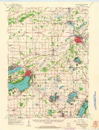 1960 Lake Geneva1963 Print · USGSCovers Bloomfield, including Burlington, Elkhorn, and other nearby areas
 - 1963 Map of Rockford
 1963 Rockford1963 Print · USGSCovers Bloomfield, including Milwaukee, Madison, and other nearby areas
 - 1963 Map of Hebron, 1964 Print
 1963 Hebron1964 Print · USGSCovers Bloomfield, including Wonder Lake, Hebron, and other nearby areas2 unique versions available
 - 1963 Map of Richmond, 1964 Print
 1963 Richmond1964 Print · USGSCovers Bloomfield, including Johnsburg, Spring Grove, and other nearby areas3 unique versions available
 - 1980 Map of Lake Geneva, 1981 Print
 1980 Lake Geneva1981 Print · USGSCovers Bloomfield, including Milwaukee, Waukesha, and other nearby areas
 - 1981 Map of Elgin
 1981 Elgin1981 Print · USGSCovers Bloomfield, including Rockford, Elgin, and other nearby areas
 - 1992 Map of Hebron
 1992 Hebron1992 Print · USGSCovers Bloomfield, including Wonder Lake, Hebron, and other nearby areas2 unique versions available
 - 1992 Map of Richmond
 1992 Richmond1992 Print · USGSCovers Bloomfield, including Johnsburg, Spring Grove, and other nearby areas
 - 2022 Map of Genoa City, 2022 Print
 2022 Genoa City2022 Print · USGSCovers Bloomfield, including Twin Lakes, Lyons, and other nearby areas
 - 2022 Map of Lake Geneva, 2022 Print
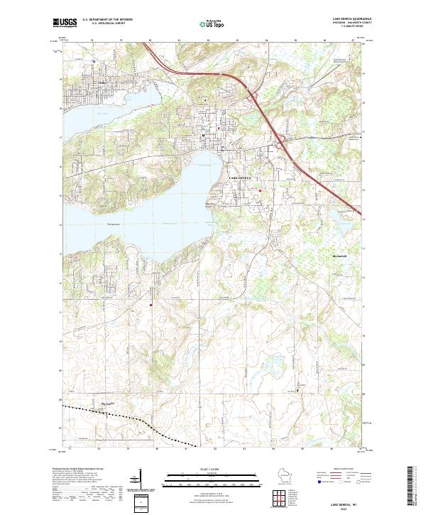 2022 Lake Geneva2022 Print · USGSCovers Bloomfield, including Lake Geneva, Lyons, and other nearby areas
 - 2024 Map of Richmond, 2024 Print
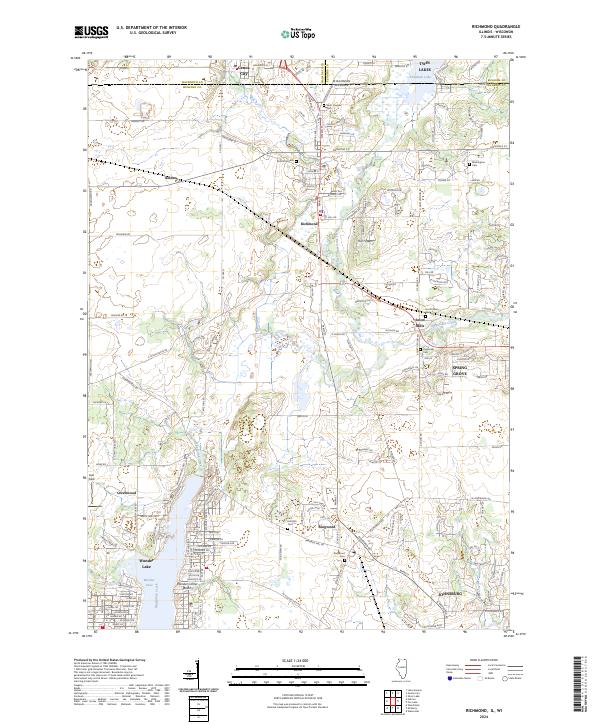 2024 Richmond2024 Print · USGSCovers Bloomfield, including Johnsburg, Spring Grove, and other nearby areas
 - 2024 Map of Hebron, 2024 Print
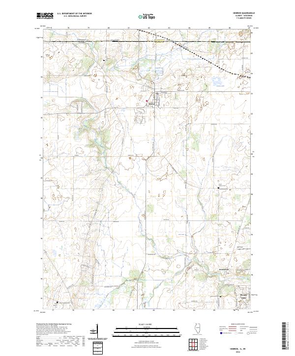 2024 Hebron2024 Print · USGSCovers Bloomfield, including Wonder Lake, Hebron, and other nearby areas
End of results
Showing maps 1-22 of 22
Top cities near Bloomfield
- McHenry historical maps
- Woodstock historical maps
- Round Lake historical maps
- Salem Lakes historical maps
- Burlington historical maps
- Harvard historical maps
See more
Top neighborhoods of Bloomfield
Frequently asked questions
- What are the different types of historical maps available for Bloomfield?
- What is the oldest map of Bloomfield?
- Where can I purchase historical maps of Bloomfield for my home or office?
- Where can I download high-res historical maps of Bloomfield?
- Are there historical topographic maps available for Bloomfield?
- Is there historical aerial imagery available for Bloomfield?
- Where are historical maps of Bloomfield sourced from?