Old Maps of Geneva, Wisconsin for Hiking & Exploration
Hike through history with 19 historic maps of Geneva. Explore old trails, ghost towns, and forgotten backroads — perfect for outdoor adventurers and local explorers.
- Rediscover forgotten places: Map out old mining camps, roads, and footpaths that no longer exist on modern maps.
- Layer with modern tools: Combine with LiDAR or satellite views to plan hikes through historical terrain.
- Made for exploration: Popular among hikers, overlanders, and local history lovers.
Use these maps to find adventure and explore the hidden past of Geneva.
Geneva, WI maps
(19)- 1893 Map of Delavan
 1893 Delavan1893 Print · USGSWalworth County at the close of the nineteenth century reveals a landscape of growing lakefront communities and vital rail junctions. Genealogists and historians can trace the early footprints of Delavan, Elkhorn, and Sharon, alongside lakeside landmarks like Williams Bay and Fontana.6 unique versions available
 - 1893 Map of Geneva
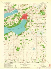
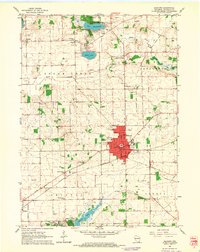
 1893 Geneva1893 Print · USGSSoutheastern Wisconsin thrived as a rail and lakeside hub in the 1890s. Genealogists and historians can trace old homesteads near Geneva, Slades Corners, and Springfield, or follow the routes of the Wisconsin Central Railroad.2 unique versions available
 - 1904 Map of Lake Geneva, 1955 Print
 1904 Lake Geneva1955 Print · USGSSoutheast Wisconsin at the turn of the century shows a landscape defined by its great lakes and a dense network of competing rail lines. Genealogists and local historians can trace the early village footprints of Burlington, Genoa Junction, and Spring Prairie along the White River.
 - 1906 Map of Lake Geneva
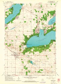
 1906 Lake Geneva1906 Print · USGSSoutheastern Wisconsin's glacial landscape is fully developed as a premier resort and rail hub in the early 1900s. Researchers can trace the early grids of Lake Geneva and Burlington or locate old rail stops at Genoa Junction and Springfield.4 unique versions available
 - 1954 Map of Rockford
 1954 Rockford1954 Print · USGSThe Rock River valley and the Illinois-Wisconsin borderlands are captured here in the mid-1950s during a period of robust industrial and agricultural activity. Genealogists and historians can trace rail-era corridors like the Illinois Central RR and locate landmarks from Big Foot Prairie to Lake Geneva.
 - 1955 Map of Rockford
 1955 Rockford1955 Print · USGSThe Rock River valley and southern Wisconsin dairy country are shown here in the mid-fifties as the region's manufacturing centers grew. Genealogists and historians can trace the paths of the Chicago and North Western RR and Illinois Central RR through hubs like Rockford and Beloit.
 - 1958 Map of Rockford, 1974 Print
 1958 Rockford1974 Print · USGSNorthern Illinois and southern Wisconsin are shown here in the mid-twentieth century as rail-dependent industrial towns began to interface with growing lakefront communities. Genealogists can trace family roots through settlements like Saylesville and Tess Corners or locate historical landmarks like the Rockford Ordnance Depot.4 unique versions available
 - 1960 Map of Lake Geneva, 1962 Print
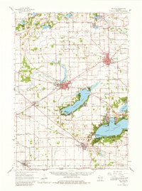
 1960 Lake Geneva1962 Print · USGSLake Geneva and its surrounding resort communities are captured at their mid-century peak in this detailed 1960 survey. Genealogists and historians can trace the foundations of local education and faith at Badger High Sch and the Queen of Peace Monastery.3 unique versions available
 - 1960 Map of Springfield, 1962 Print
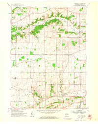 1960 Springfield1962 Print · USGSWalworth County farm country and the village of Springfield are captured here in the early sixties. Researchers can trace the local Chicago Milwaukee St Paul and Pacific rail line and locate community landmarks like Pallotti Novitiate and Hickory Grove Cem.3 unique versions available
 - 1960 Map of Delavan, 1962 Print
 1960 Delavan1962 Print · USGSWalworth County’s lake country is captured here in the early sixties, showing a landscape of summer resorts and established prairie towns. Researchers can locate family landmarks like Hollister Cem or trace the grounds of the Yerkes Observatory and County Fairground.2 unique versions available
 - 1960 Map of Lake Geneva, 1963 Print
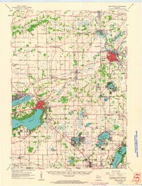 1960 Lake Geneva1963 Print · USGSIn the early 1960s, the Lake Geneva region was a thriving network of rail-connected towns and lakeside retreats. Genealogists can trace family footprints at Oak Hill Cem, Hickory Grove Cem, and crossroads like Slades Corners.
 - 1960 Map of Elkhorn, 1964 Print
 1960 Elkhorn1964 Print · USGSWalworth County during the 1960s shows a landscape of growing towns and established lakeside retreats. Researchers can trace rural school locations like Tibbets Sch and family history at Potters Cem or Millard Cem.3 unique versions available
 - 1960 Map of Walworth, 1964 Print
 1960 Walworth1964 Print · USGSLake Geneva and Delavan Lake were established summer retreats by the early sixties, surrounded by prestigious academies and observatories. Genealogists and local historians can locate rural landmarks like Cobblestone Cem, Big Foot High Sch, and the Yerkes Observatory.3 unique versions available
 - 1963 Map of Rockford
 1963 Rockford1963 Print · USGSThe mid-century industrial corridor along the Rock River is shown here during a period of rapid post-war growth. Researchers can trace the extensive rail lines of the Chicago and North Western or locate local landmarks like the Rockford Ordnance Depot and Holy Hill.
 - 1980 Map of Lake Geneva, 1981 Print
 1980 Lake Geneva1981 Print · USGSSoutheastern Wisconsin at the start of the eighties reveals a landscape of glacial moraines and established lakefront resorts. Researchers can trace historic rail lines like the Chicago and North Western RR or locate landmarks such as Yerkes Observatory and East Lawn Cem.
 - 2022 Map of Springfield, 2022 Print
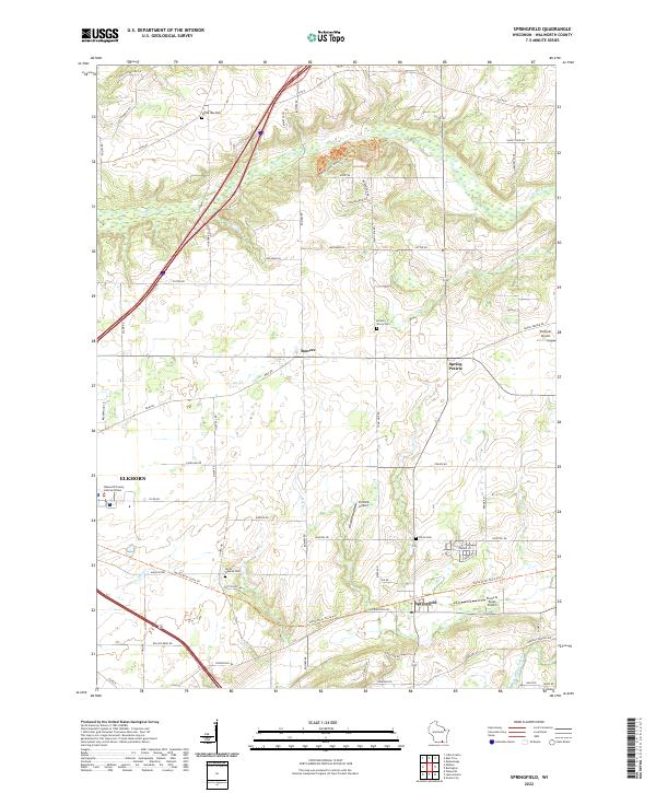 2022 Springfield2022 Print · USGSSoutheast Wisconsin's rolling prairie and river valleys are captured here in the early twenty-first century, showing the lands between Elkhorn and Spring Prairie. Family historians can pinpoint several historic burial sites like Hickory Grove Cem and North Geneva Cem or trace the early paths along Sugar Cr.
 - 2022 Map of Walworth, 2022 Print
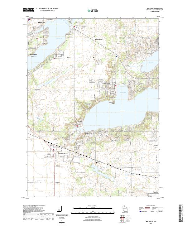 2022 Walworth2022 Print · USGSThe western reaches of Walworth County come to life in this recent survey of the region's prominent lakes and settlements. Researchers can trace family history at Walworth Center Cem or explore the dense residential development around Williams Bay and Fontana.
 - 2022 Map of Elkhorn, 2022 Print
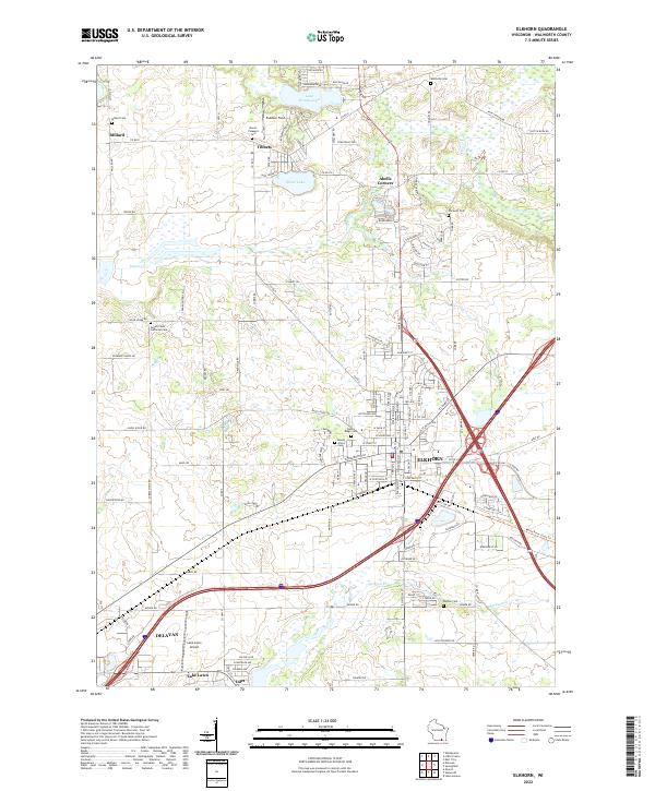 2022 Elkhorn2022 Print · USGSWalworth County at the start of the 2020s shows the continued growth of Elkhorn and Delavan amidst a landscape of historic farmsteads. Researchers can locate family plots at Hazel Ridge Cem or trace the shoreline developments of Lake Wandawega and Silver Lake.
 - 2022 Map of Lake Geneva, 2022 Print
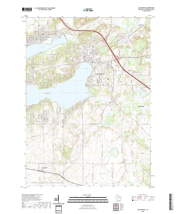 2022 Lake Geneva2022 Print · USGSLake Geneva and its surrounding resort communities are shown in fine detail during this modern era of development. Genealogists can locate family sites near Oak Hill Cem or trace the early settle-ment footprints in Como and Bloomfield.
End of results
Showing maps 1-19 of 19
Top cities near Geneva
- Whitewater historical maps
- Burlington historical maps
- Harvard historical maps
- Elkhorn historical maps
- Delavan historical maps
- Mukwonago historical maps
See more
Top neighborhoods of Geneva
Frequently asked questions
- What are the different types of historical maps available for Geneva?
- What is the oldest map of Geneva?
- Where can I purchase historical maps of Geneva for my home or office?
- Where can I download high-res historical maps of Geneva?
- Are there historical topographic maps available for Geneva?
- Is there historical aerial imagery available for Geneva?
- Where are historical maps of Geneva sourced from?