Old Maps of Beaver Brook, Wisconsin for Genealogy
Trace your family roots with 26 historic maps of Beaver Brook. These high-res maps reveal old neighborhoods, homesites, landmarks, and streets — helping you uncover where your ancestors lived and how the area evolved over time.
- Explore historic neighborhoods: Identify where your relatives may have lived in the 1800s or 1900s.
- Compare maps over time: Trace the changes in streets, buildings, and landmarks for multi-generational research.
- Perfect for genealogy & ancestry research: Used by family historians and researchers to map out lineage and migration.
These maps are an incredible resource for exploring your personal connection to Beaver Brook's past.
Beaver Brook, WI maps
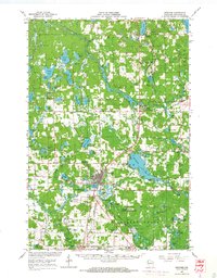
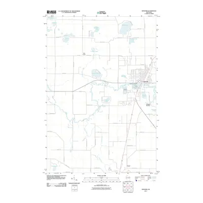
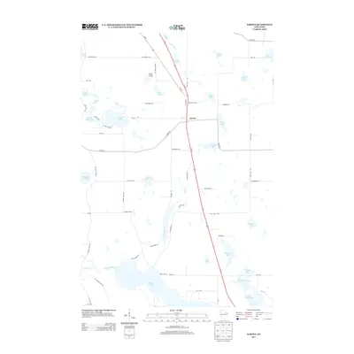
(26)- 1948 Map of Spooner, 1955 Print
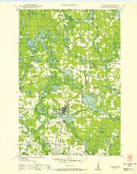 1948 Spooner1955 Print · USGSWashburn County in the late 1940s was a landscape of Northwoods river valleys and emerging railroad towns. You can trace the rural network of schools and cemeteries, from Anah Cemetery to Julia Sch, or follow the Chicago and North Western tracks.
 - 1949 Map of Spooner
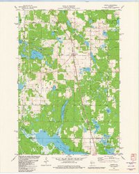
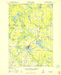 1949 Spooner1949 Print · USGSWashburn County in the late 1940s reveals a transition from a rail-dependent frontier to a motorized agricultural and recreational region. Genealogists and historians can locate dozens of country schools like Tadpole Sch and burial grounds such as Anah Cemetery.
 - 1951 Map of Shell Lake
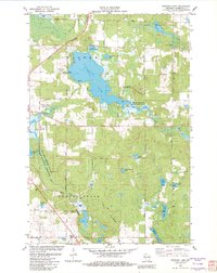
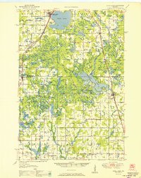 1951 Shell Lake1951 Print · USGSWisconsin's lakeland region comes to life in this mid-century survey of the Washburn and Barron county line. Genealogists and local historians can trace rural school districts like Clam River Sch and country churches such as Golden Valley Ch.
 - 1953 Map of Rice Lake, 1967 Print
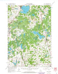
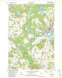
 1953 Rice Lake1967 Print · USGSNorthwest Wisconsin during the mid-fifties reveals a landscape defined by timber, rail, and water. Genealogists and historians can trace the development of river towns like Ladysmith and Rice Lake along the Soo Line and Chicago and North Western railroads.2 unique versions available
 - 1959 Map of Rice Lake
 1959 Rice Lake1959 Print · USGSNorthwest Wisconsin in the late fifties was a land of expanding road networks and deep-seated timber history. Genealogists and historians can trace rail lines like the Soo Line RR and Chicago St Paul Minneapolis and Omaha Ry as they link settlements from Spooner to Medford.
 - 1965 Map of Shell Lake, 1967 Print
 1965 Shell Lake1967 Print · USGSWisconsin's lake country in the mid-1960s is preserved here, centered on the rail-linked communities of Washburn and Barron Counties. Genealogists and historians can trace local landmarks like Heart Lake Church, Sarona Cemetery, and the Section Ten School.2 unique versions available
 - 1965 Map of Spooner, 1967 Print
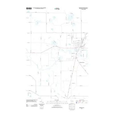
 1965 Spooner1967 Print · USGSWashburn County's lakelands and rail corridors are frozen in time during the mid-sixties, centered on the bustling junction at Spooner. Researchers can trace the Chicago and North Western tracks to remote stops like Lampson, find the Evergreen Cem, or locate the old Schulz-Spooner School.
 - 1980 Map of Spooner
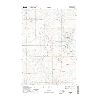
 1980 Spooner1980 Print · USGSNorthwestern Wisconsin at the dawn of the eighties reveals a landscape of deep forests and transitioning rail corridors. Genealogists and historians can trace lakefront settlements like Spooner and Birchwood or follow the early Tuscobia-Park Falls State Trail.
 - 1981 Map of Sarona, 1982 Print
 1981 Sarona1982 Print · USGSWashburn County's lake-rich timberlands are documented here in the early 1980s, centered on the rail village of Sarona. Researchers can trace old family roads and landmarks like Shelton Lookout Tower, the Sarona Cem, and the Landing Strip.2 unique versions available
 - 1982 Map of Spooner Lake
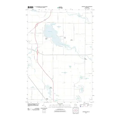
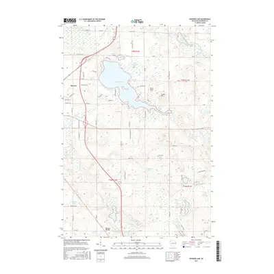
 1982 Spooner Lake1982 Print · USGSWashburn County's lake-dotted landscape is captured in the early eighties, showing a region defined by its conservation areas and northern rail corridors. Trace local landmarks like the Anah Ch settlement and the University of Wisconsin Experimental Farm along the Yellow River.
 - 1982 Map of Spooner, 1983 Print
 1982 Spooner1983 Print · USGSSpooner and the surrounding Washburn County wetlands are shown here in the early eighties as a thriving rail and agricultural center. Researchers can trace the Chicago and North Western rail lines through Chicago Junction and locate the Rocky Ridge Cem or State Fish Hatchery.
 - 2010 Map of Spooner, 2010 Print
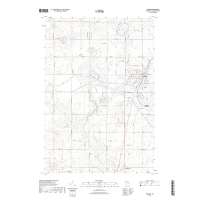
 2010 Spooner2010 Print · USGSCovers Beaver Brook, including Spooner, Shell Lake, and other nearby areas
 - 2010 Map of Spooner Lake, 2010 Print
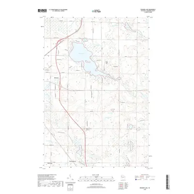
 2010 Spooner Lake2010 Print · USGSCovers Beaver Brook, including Spooner, Shell Lake, and other nearby areas
 - 2010 Map of Sarona, 2010 Print
 2010 Sarona2010 Print · USGSCovers Beaver Brook, including Shell Lake, Madge, and other nearby areas
 - 2013 Map of Spooner Lake, 2013 Print
 2013 Spooner Lake2013 Print · USGSCovers Beaver Brook, including Spooner, Shell Lake, and other nearby areas
 - 2013 Map of Sarona, 2013 Print
 2013 Sarona2013 Print · USGSCovers Beaver Brook, including Shell Lake, Madge, and other nearby areas
 - 2013 Map of Spooner, 2013 Print
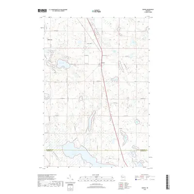
 2013 Spooner2013 Print · USGSCovers Beaver Brook, including Spooner, Shell Lake, and other nearby areas
 - 2015 Map of Spooner, 2015 Print
 2015 Spooner2015 Print · USGSCovers Beaver Brook, including Spooner, Shell Lake, and other nearby areas
 - 2015 Map of Spooner Lake, 2015 Print
 2015 Spooner Lake2015 Print · USGSCovers Beaver Brook, including Spooner, Shell Lake, and other nearby areas
 - 2015 Map of Sarona, 2015 Print
 2015 Sarona2015 Print · USGSCovers Beaver Brook, including Shell Lake, Madge, and other nearby areas
 - 2018 Map of Spooner Lake, 2018 Print
 2018 Spooner Lake2018 Print · USGSCovers Beaver Brook, including Spooner, Shell Lake, and other nearby areas
 - 2018 Map of Spooner, 2018 Print
 2018 Spooner2018 Print · USGSCovers Beaver Brook, including Spooner, Shell Lake, and other nearby areas
 - 2018 Map of Sarona, 2018 Print
 2018 Sarona2018 Print · USGSCovers Beaver Brook, including Shell Lake, Madge, and other nearby areas
 - 2022 Map of Spooner, 2022 Print
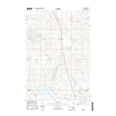
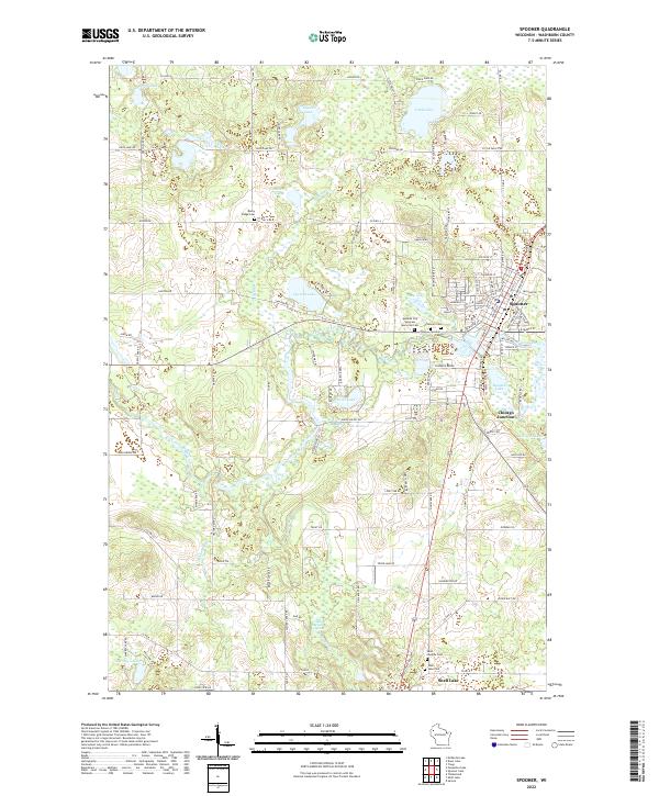 2022 Spooner2022 Print · USGSSpooner and the upper Yellow River valley are documented here in the early twenty-first century, showing a landscape defined by glacial lakes and rail heritage. Researchers can locate several burial sites like Rocky Ridge Cem and follow the waters of Beaver Brook through Chicago Junction.
 - 2022 Map of Sarona, 2022 Print
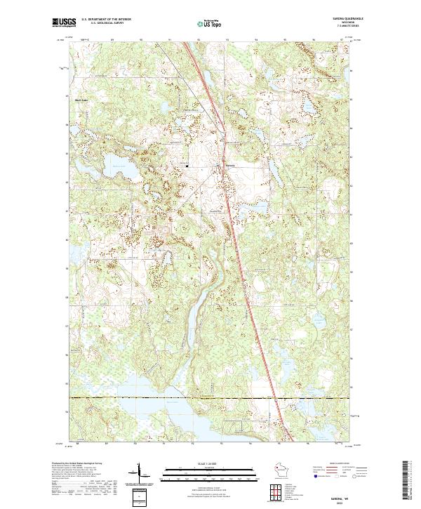 2022 Sarona2022 Print · USGSThe area around Sarona and the Washburn County line is documented here in the early twenty-first century. Genealogists and local historians can trace the rural road network to landmarks like the Sarona Cem, Ripley Lake, and the Wild Rivers State Trl.
Showing maps 1-25 of 26
Top cities near Beaver Brook
- Spooner historical maps
- Cumberland historical maps
- Shell Lake historical maps
- Trego historical maps
- Springbrook historical maps
- Madge historical maps
See more
Top neighborhoods of Beaver Brook
Frequently asked questions
- What are the different types of historical maps available for Beaver Brook?
- What is the oldest map of Beaver Brook?
- Where can I purchase historical maps of Beaver Brook for my home or office?
- Where can I download high-res historical maps of Beaver Brook?
- Are there historical topographic maps available for Beaver Brook?
- Is there historical aerial imagery available for Beaver Brook?
- Where are historical maps of Beaver Brook sourced from?