Old Maps of Brooklyn, Wisconsin for Metal Detecting
Plan your next treasure hunt with 36 historic maps of Brooklyn. Find old homesites, ghost towns, trails, and gathering spots that may be lost to time — perfect for identifying promising metal detecting locations.
- Locate forgotten sites: Uncover places like long-lost settlements, abandoned rail lines, or gathering spots.
- Plan better hunts: Use map overlays combined with LiDAR or satellite views to narrow in on historically rich areas.
- Made for detectorists: Thousands of hobbyists use these maps to discover relics, coins, and hidden history.
Use these historic maps to boost your research and find new opportunities beneath the surface of Brooklyn.
Brooklyn, WI maps
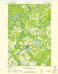
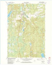
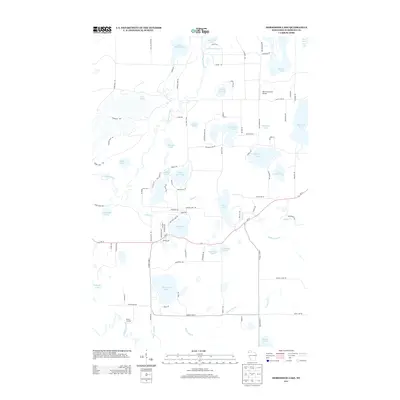
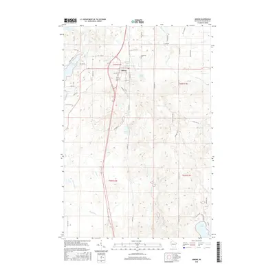
(36)- 1947 Map of Minong, 1964 Print
 1947 Minong1964 Print · USGSNorthwest Wisconsin's lake country is captured here in the late 1940s as rail and road corridors began to open the woods for more permanent settlement. Genealogists can locate family-named landmarks and rural hubs like Wascott Ch, Hoover Sch, and the village of Minong.
 - 1948 Map of Spooner, 1955 Print
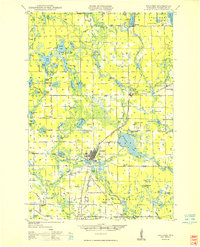
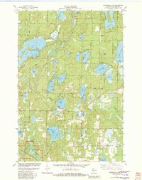
 1948 Spooner1955 Print · USGSWashburn County in the late 1940s was a landscape of Northwoods river valleys and emerging railroad towns. You can trace the rural network of schools and cemeteries, from Anah Cemetery to Julia Sch, or follow the Chicago and North Western tracks.
 - 1949 Map of Minong
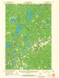
 1949 Minong1949 Print · USGSNorthwestern Wisconsin’s lake country is captured here in the late 1940s, when the North Western railroad still linked small timber and rail towns. Researchers can locate vanished landmarks like Hoover Sch, Wascott Ch, and the small settlement of Lakeside.
 - 1949 Map of Spooner
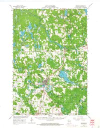
 1949 Spooner1949 Print · USGSWashburn County in the late 1940s reveals a transition from a rail-dependent frontier to a motorized agricultural and recreational region. Genealogists and historians can locate dozens of country schools like Tadpole Sch and burial grounds such as Anah Cemetery.
 - 1953 Map of Ashland, 1964 Print
 1953 Ashland1964 Print · USGSNorthern Wisconsin's lakefront and timberlands are seen here in the mid-1950s, showing the intersection of industrial rail lines and vast wilderness. Genealogists and historians can trace the Soo Line through rail towns like Mellen or locate family roots in the Apostle Islands and Bad River Indian Reservation.3 unique versions available
 - 1953 Map of Rice Lake, 1967 Print
 1953 Rice Lake1967 Print · USGSNorthwest Wisconsin during the mid-fifties reveals a landscape defined by timber, rail, and water. Genealogists and historians can trace the development of river towns like Ladysmith and Rice Lake along the Soo Line and Chicago and North Western railroads.2 unique versions available
 - 1958 Map of Ashland
 1958 Ashland1958 Print · USGSCoastal Wisconsin and the Michigan borderlands meet here in the late fifties, dominated by the timbered expanses and iron-rich ranges. Genealogists can trace family footprints in settlements like Odanah and Montreal, or locate landmarks such as the Coast Guard Station and Agricultural Experiment Station.
 - 1959 Map of Rice Lake
 1959 Rice Lake1959 Print · USGSNorthwest Wisconsin in the late fifties was a land of expanding road networks and deep-seated timber history. Genealogists and historians can trace rail lines like the Soo Line RR and Chicago St Paul Minneapolis and Omaha Ry as they link settlements from Spooner to Medford.
 - 1965 Map of Minong, 1967 Print
 1965 Minong1967 Print · USGSWashburn and Douglas counties are shown here in the mid-sixties during a period of expanding forest management and rail-based commerce. Researchers can locate family sites and landmarks like Wascott Cemetery, Sutherland Landing Field, and the Minong settlement.
 - 1965 Map of Spooner, 1967 Print
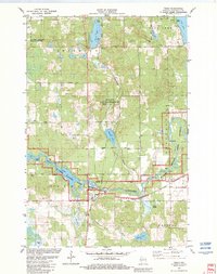
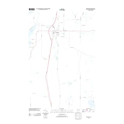
 1965 Spooner1967 Print · USGSWashburn County's lakelands and rail corridors are frozen in time during the mid-sixties, centered on the bustling junction at Spooner. Researchers can trace the Chicago and North Western tracks to remote stops like Lampson, find the Evergreen Cem, or locate the old Schulz-Spooner School.
 - 1980 Map of Spooner
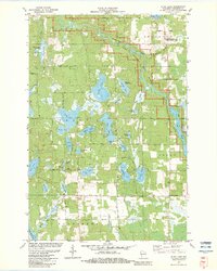
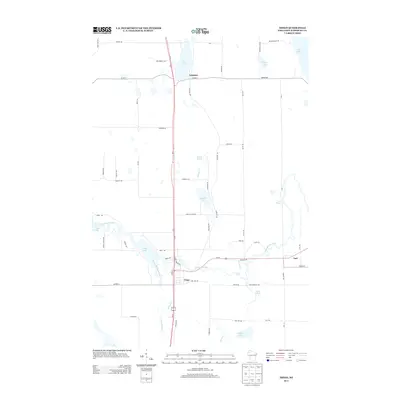
 1980 Spooner1980 Print · USGSNorthwestern Wisconsin at the dawn of the eighties reveals a landscape of deep forests and transitioning rail corridors. Genealogists and historians can trace lakefront settlements like Spooner and Birchwood or follow the early Tuscobia-Park Falls State Trail.
 - 1980 Map of Solon Springs
 1980 Solon Springs1980 Print · USGSNorthern Wisconsin in the early eighties was a landscape of dense timber and sprawling glacial waters. Trace the legacy of the Chicago and North Western rail line through Solon Springs, Hayward, and Minong at this pivotal moment.
 - 1982 Map of Minong
 1982 Minong1982 Print · USGSWashburn County in the early eighties is a landscape of glacial lakes and rail-line villages. Researchers can trace the Chicago and North Western railroad through Minong, locating Greenwood Cem and the settlement at Stuntz.
 - 1982 Map of Horseshoe Lake
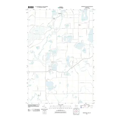
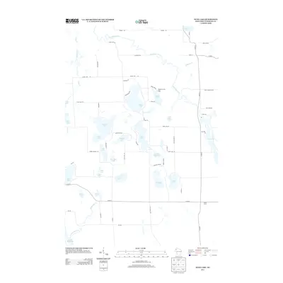
 1982 Horseshoe Lake1982 Print · USGSWashburn County's lake country is captured here in the early eighties, showing a landscape defined by the Namekagon River and numerous glacial basins. Genealogists and local historians can trace small landings and community sites like Menah, Byrkits Landing, and the Sutherland Landing Strip.
 - 1982 Map of Trego
 1982 Trego1982 Print · USGSWashburn County in the early eighties centers on the river-and-rail corridor where the Namekagon River meets the Trego settlement. Genealogists and local researchers can locate the Lampson Cem, the Wesleyan Ch, and numerous family-named springs.
 - 1982 Map of Dunn Lake, 1983 Print
 1982 Dunn Lake1983 Print · USGSNorthwestern Wisconsin’s glaciated lake country is captured here in the early 1980s, centered on the wild Namekagon River. Researchers can locate family landmarks like Rosewood Cem or trace the rural character of Tadpole Corners and Trego Lake.
 - 2010 Map of Dunn Lake, 2010 Print
 2010 Dunn Lake2010 Print · USGSCovers Brooklyn, including Trego, Chicog, and other nearby areas
 - 2010 Map of Trego, 2010 Print
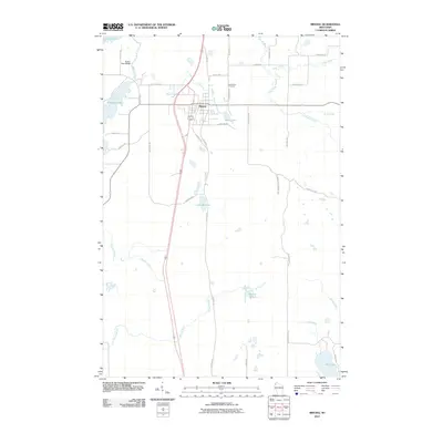
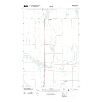 2010 Trego2010 Print · USGSCovers Brooklyn, including Trego, Springbrook, and other nearby areas
 - 2010 Map of Horseshoe Lake, 2010 Print
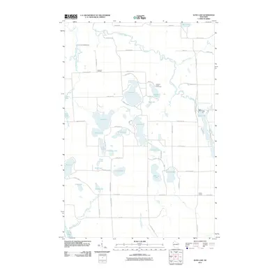
 2010 Horseshoe Lake2010 Print · USGSCovers Brooklyn, including Chicog, Minong, and other nearby areas
 - 2010 Map of Minong, 2010 Print
 2010 Minong2010 Print · USGSCovers Brooklyn, including Minong, Gull Lake, and other nearby areas
 - 2013 Map of Horseshoe Lake, 2013 Print
 2013 Horseshoe Lake2013 Print · USGSCovers Brooklyn, including Chicog, Minong, and other nearby areas
 - 2013 Map of Minong, 2013 Print
 2013 Minong2013 Print · USGSCovers Brooklyn, including Minong, Gull Lake, and other nearby areas
 - 2013 Map of Trego, 2013 Print
 2013 Trego2013 Print · USGSCovers Brooklyn, including Trego, Springbrook, and other nearby areas
 - 2013 Map of Dunn Lake, 2013 Print
 2013 Dunn Lake2013 Print · USGSCovers Brooklyn, including Trego, Chicog, and other nearby areas
 - 2015 Map of Minong, 2015 Print
 2015 Minong2015 Print · USGSCovers Brooklyn, including Minong, Gull Lake, and other nearby areas
Showing maps 1-25 of 36
Top cities near Brooklyn
- Spooner historical maps
- Trego historical maps
- Gordon historical maps
- Wascott historical maps
- Beaver Brook historical maps
- Minong historical maps
See more
Top neighborhoods of Brooklyn
Frequently asked questions
- What are the different types of historical maps available for Brooklyn?
- What is the oldest map of Brooklyn?
- Where can I purchase historical maps of Brooklyn for my home or office?
- Where can I download high-res historical maps of Brooklyn?
- Are there historical topographic maps available for Brooklyn?
- Is there historical aerial imagery available for Brooklyn?
- Where are historical maps of Brooklyn sourced from?