2000s (21st Century) Maps of Brooklyn, Wisconsin
Explore 20 historic maps of Brooklyn from the 2000s (21st Century). These maps offer a rare glimpse into what life looked like during the 2000s — showing old roads, neighborhoods, homes, and landmarks that have changed or disappeared over time.
Whether you're researching your family's past, planning a metal detecting trip, or studying how Brooklyn's landscape evolved across the 2000s, these high-resolution maps are a powerful tool for exploring the history of this region.
- Focus on a specific era: All maps on this page are from the 2000s, giving you a focused view of this time period.
- See what’s changed: Compare century-old streets, trails, and buildings to today's modern landscape using overlays and satellite layers.
- Research with precision: Use these maps for genealogy, historical research, land use analysis, or educational projects.
- View, download, or print: Maps are fully viewable online in high resolution, and can be downloaded or printed for your own records.
Start exploring Brooklyn's history through authentic maps from the 2000s. This is your window into the past.
Brooklyn, WI maps
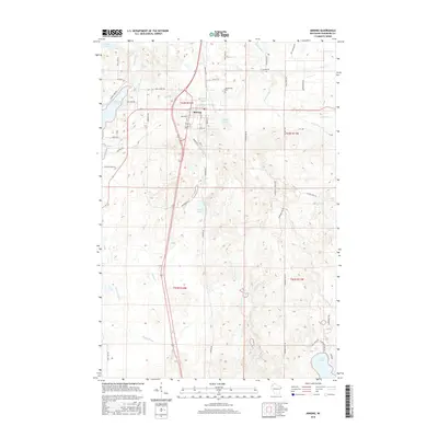
(20)- 2010 Map of Dunn Lake, 2010 Print
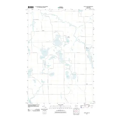 2010 Dunn Lake2010 Print · USGSCovers Brooklyn, including Trego, Chicog, and other nearby areas
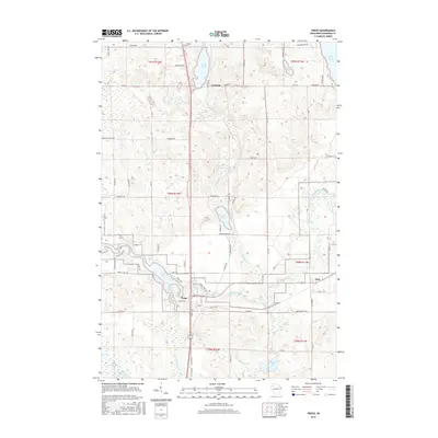
 - 2010 Map of Trego, 2010 Print
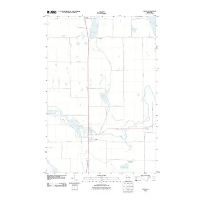 2010 Trego2010 Print · USGSCovers Brooklyn, including Trego, Springbrook, and other nearby areas
 - 2010 Map of Horseshoe Lake, 2010 Print
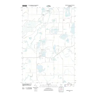 2010 Horseshoe Lake2010 Print · USGSCovers Brooklyn, including Chicog, Minong, and other nearby areas
 - 2010 Map of Minong, 2010 Print
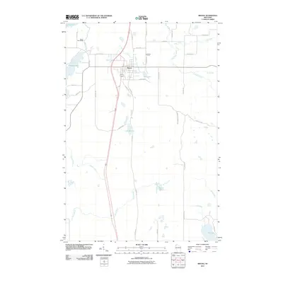 2010 Minong2010 Print · USGSCovers Brooklyn, including Minong, Gull Lake, and other nearby areas
 - 2013 Map of Horseshoe Lake, 2013 Print
 2013 Horseshoe Lake2013 Print · USGSCovers Brooklyn, including Chicog, Minong, and other nearby areas
 - 2013 Map of Minong, 2013 Print
 2013 Minong2013 Print · USGSCovers Brooklyn, including Minong, Gull Lake, and other nearby areas
 - 2013 Map of Trego, 2013 Print
 2013 Trego2013 Print · USGSCovers Brooklyn, including Trego, Springbrook, and other nearby areas
 - 2013 Map of Dunn Lake, 2013 Print
 2013 Dunn Lake2013 Print · USGSCovers Brooklyn, including Trego, Chicog, and other nearby areas
 - 2015 Map of Minong, 2015 Print
 2015 Minong2015 Print · USGSCovers Brooklyn, including Minong, Gull Lake, and other nearby areas
 - 2015 Map of Trego, 2015 Print
 2015 Trego2015 Print · USGSCovers Brooklyn, including Trego, Springbrook, and other nearby areas
 - 2015 Map of Dunn Lake, 2015 Print
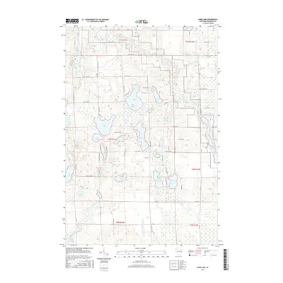 2015 Dunn Lake2015 Print · USGSCovers Brooklyn, including Trego, Chicog, and other nearby areas
 - 2015 Map of Horseshoe Lake, 2015 Print
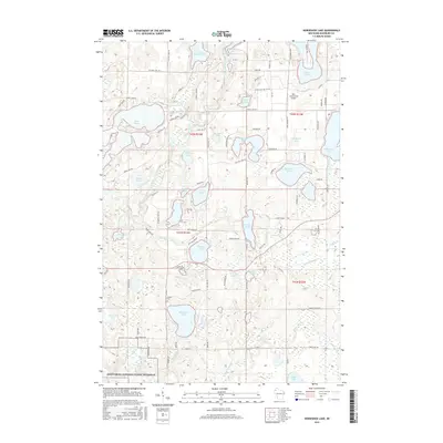 2015 Horseshoe Lake2015 Print · USGSCovers Brooklyn, including Chicog, Minong, and other nearby areas
 - 2018 Map of Minong, 2018 Print
 2018 Minong2018 Print · USGSCovers Brooklyn, including Minong, Gull Lake, and other nearby areas
 - 2019 Map of Horseshoe Lake, 2019 Print
 2019 Horseshoe Lake2019 Print · USGSCovers Brooklyn, including Chicog, Minong, and other nearby areas
 - 2019 Map of Dunn Lake, 2019 Print
 2019 Dunn Lake2019 Print · USGSCovers Brooklyn, including Trego, Chicog, and other nearby areas
 - 2019 Map of Trego, 2019 Print
 2019 Trego2019 Print · USGSCovers Brooklyn, including Trego, Springbrook, and other nearby areas
 - 2022 Map of Trego, 2022 Print
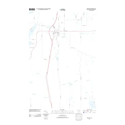
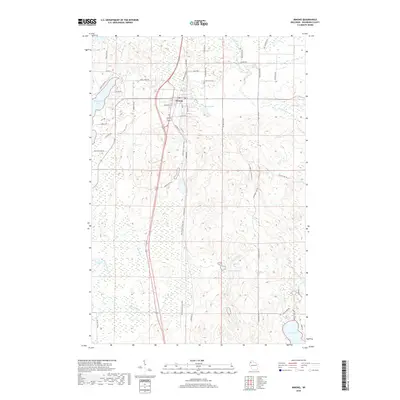
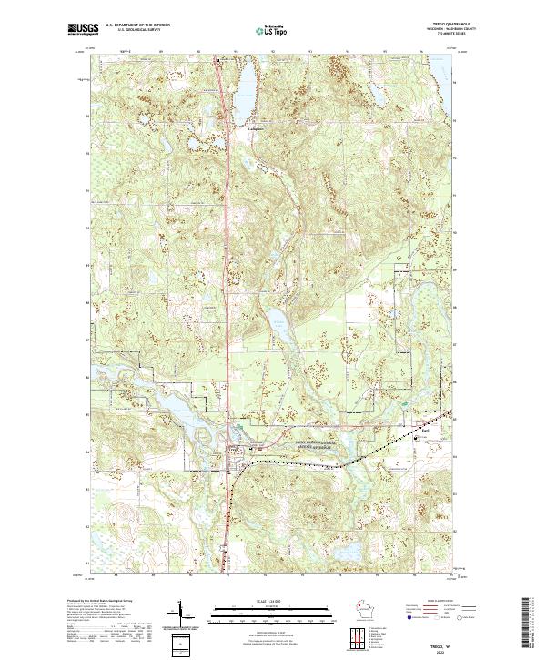 2022 Trego2022 Print · USGSWashburn County's river valleys and lake country are captured in this recent survey of the Trego and Earl communities. Local historians can trace the Namekagon River corridor through the Saint Croix National Scenic Riverway and locate family sites at Earl Cem or Lampson Cem.
 - 2022 Map of Horseshoe Lake, 2022 Print
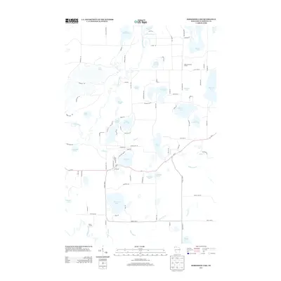
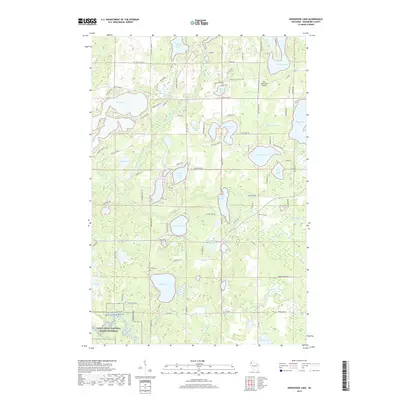
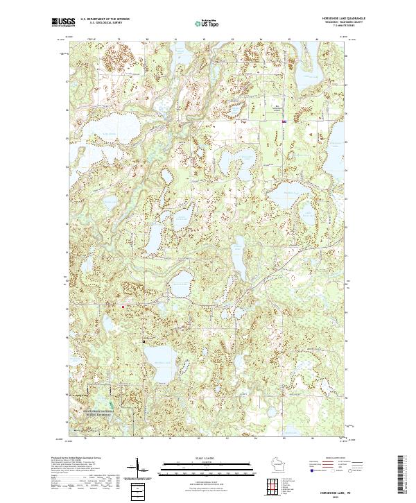 2022 Horseshoe Lake2022 Print · USGSWashburn County's lake country is captured here in the early twenty-first century, showing a landscape defined by the Saint Croix River and dozens of glacial lakes. Researchers can locate the Chicog Cem and trace the Totagatic River as it winds past Lake Nancy and Banks Lake.
 - 2022 Map of Minong, 2022 Print
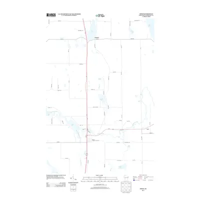
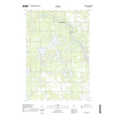
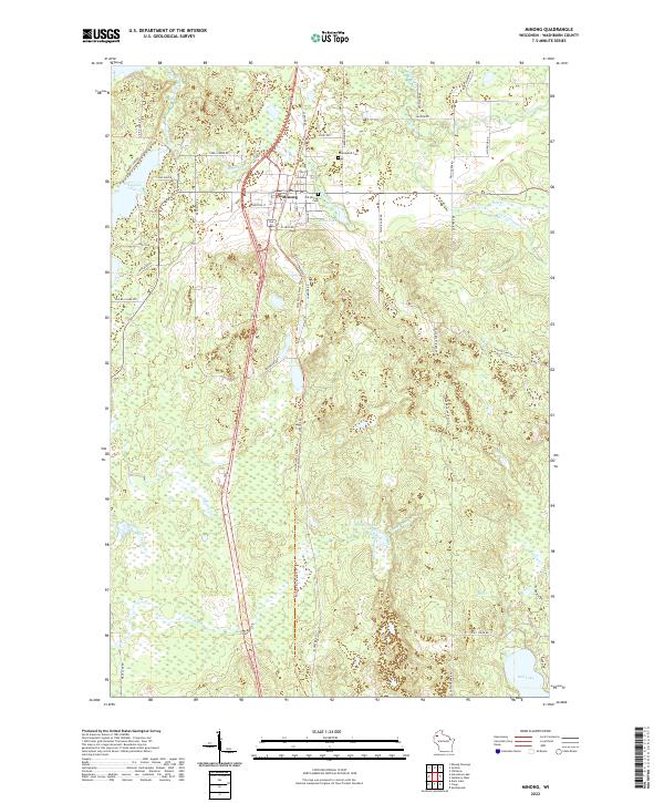 2022 Minong2022 Print · USGSMinong and the surrounding northwoods of Washburn County are captured here in the early twenty-first century. Genealogists can locate family landmarks like Old Minong Cem and Greenwood Cem, or trace the path of the Wild Rivers State Trl past Bond Lake.
 - 2022 Map of Dunn Lake, 2022 Print
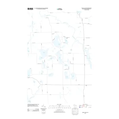
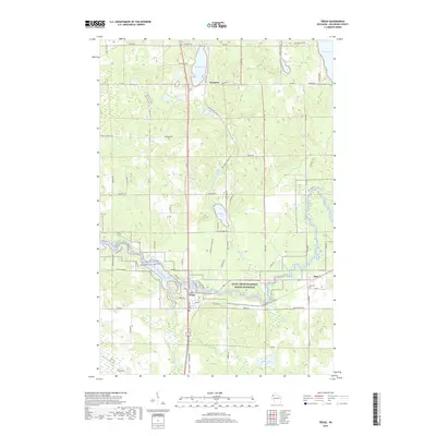
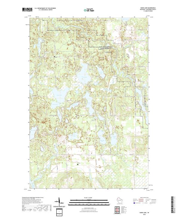 2022 Dunn Lake2022 Print · USGSWashburn County's lake country is captured in the early twenty-first century, showing the protected Saint Croix National Scenic Riverway. Genealogists and local historians can locate Rosewood Cem, Fox Cem, and family-named routes like Schmidt Ln.
End of results
Showing maps 1-20 of 20
Top cities near Brooklyn
- Spooner historical maps
- Trego historical maps
- Gordon historical maps
- Wascott historical maps
- Beaver Brook historical maps
- Minong historical maps
See more
Top neighborhoods of Brooklyn
Frequently asked questions
- What are the different types of historical maps available for Brooklyn?
- What is the oldest map of Brooklyn?
- Where can I purchase historical maps of Brooklyn for my home or office?
- Where can I download high-res historical maps of Brooklyn?
- Are there historical topographic maps available for Brooklyn?
- Is there historical aerial imagery available for Brooklyn?
- Where are historical maps of Brooklyn sourced from?