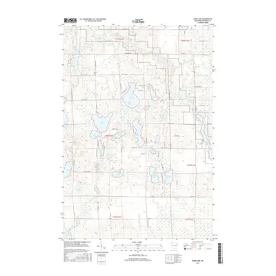
2015 Map of Dunn Lake
USGS Topo · Published 2015About this map
The Namekagon River snakes across this northern Wisconsin landscape, feeding into Trego Lake in the eastern reaches of the quadrangle. This area of Washburn County is defined by its glacial kettle lakes and wetlands, where named bodies like Island Lake, Dunn Lake, and McKinley Lake punctuate the timbered terrain. The distribution of homesteads and local roads, such as Pierce Homestd Rd, reflects a history of rural settlement and recreational land use tied to the water. In the northwest, the Rosewood Cem on Rosewood Rd provides a specific point of interest for genealogists tracing local families. The hydrography is particularly complex, featuring the Casey Creek Flowage and numerous springs like Boyle Brook Spring, indicating a high water table and a landscape still heavily influenced by its original drainage patterns.
Find a feature on this map
79 named features on this map. Tap any name to fly to it.
Don’t see what you’re looking for? This feature index may not catch every label — zoom into the map to look around manually.
Map Details
Editions of this 2015 Dunn Lake Map
This is the sole edition of this map. No revisions or reprints were ever made.
Other maps of this area

1947 · Minong
USGS Topo · 1:48,000

1948 · Spooner
USGS Topo · 1:48,000

1949 · Hertel
USGS Topo · 1:48,000

1949 · Minong
USGS Topo · 1:48,000

1949 · Webb Lake
USGS Topo · 1:48,000

1949 · Spooner
USGS Topo · 1:48,000

1953 · Ashland
USGS Topo · 1:250,000

1953 · Duluth
USGS Topo · 1:250,000

1953 · Rice Lake
USGS Topo · 1:250,000

1953 · Stillwater
USGS Topo · 1:250,000