Old Maps of Stone Lake, Wisconsin for Academic Research
Study the evolution of Stone Lake with 29 high-resolution historic maps. Whether you're teaching, researching, or modeling changes in land use, these maps provide essential visual documentation of urban, environmental, and geographic change.
- Analyze long-term change: Track patterns in development, transportation, and natural features.
- Ideal for environmental or urban studies: Support academic projects with primary historical map data.
- Use in the classroom or lab: Educators and researchers rely on these maps to bring historical context to life.
These maps are a powerful tool for teaching, research, and visualizing how Stone Lake has changed over the decades.
Stone Lake, WI maps
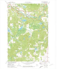
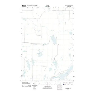
(29)- 1948 Map of Stone Lake, 1958 Print
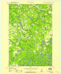 1948 Stone Lake1958 Print · USGSWashburn and Sawyer counties are captured here in the late 1940s, showing a landscape defined by glacial lakes and intersecting railroads. Researchers can trace rural school locations like Edgewood Sch, the Evergreen Cem, and landmarks like the Potato Lake Fire Tower.2 unique versions available
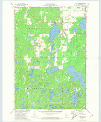
 - 1950 Map of Stone Lake
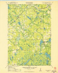 1950 Stone Lake1950 Print · USGSWashburn and Sawyer Counties are shown in the 1950s at the height of their rural rail and schoolhouse era. Researchers can trace the legacy of small communities through the Evergreen Cem, the Potato Lake Fire Tower, and local landmarks like Stinnett Sch and Mackay Valley Sch.
 - 1953 Map of Rice Lake, 1967 Print
 1953 Rice Lake1967 Print · USGSNorthwest Wisconsin during the mid-fifties reveals a landscape defined by timber, rail, and water. Genealogists and historians can trace the development of river towns like Ladysmith and Rice Lake along the Soo Line and Chicago and North Western railroads.2 unique versions available
 - 1959 Map of Rice Lake
 1959 Rice Lake1959 Print · USGSNorthwest Wisconsin in the late fifties was a land of expanding road networks and deep-seated timber history. Genealogists and historians can trace rail lines like the Soo Line RR and Chicago St Paul Minneapolis and Omaha Ry as they link settlements from Spooner to Medford.
 - 1971 Map of Springbrook, 1974 Print
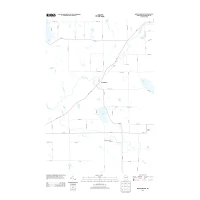
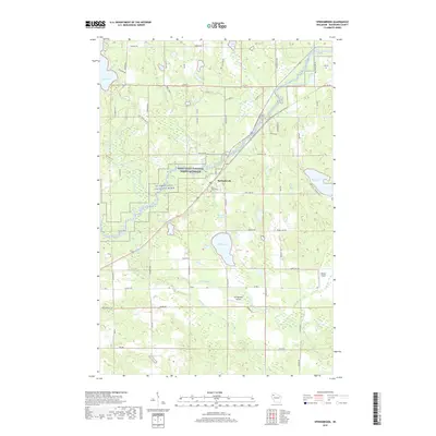
 1971 Springbrook1974 Print · USGSWashburn County's river valleys and rail corridors are captured here in the early 1970s. Local researchers can trace family roots at St Lukes Cem or explore the wetlands around Gull Lake and the Bean Brook State Wildlife Management Area.
 - 1971 Map of Potato Lake, 1974 Print
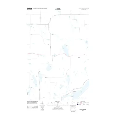
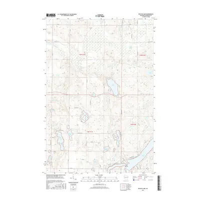
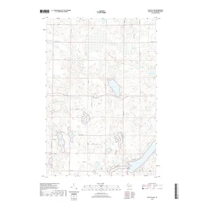
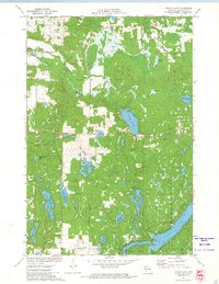 1971 Potato Lake1974 Print · USGSWashburn County's lake country is captured in the early 1970s, showcasing a dense network of glacial waters and wetlands. Researchers can trace family-named landmarks like Westenberg Spring, locate the local Townhall, or find former structures like the Lookout Tower.
 - 1971 Map of Bean Lake, 1974 Print
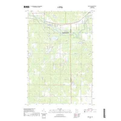
 1971 Bean Lake1974 Print · USGSWashburn and Sawyer Counties were defined by protected wetlands and water-powered history in the early seventies. Trace the Chicago and North Western rail line near the Namekagon River or explore the marshy Cranberry Bog.
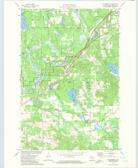
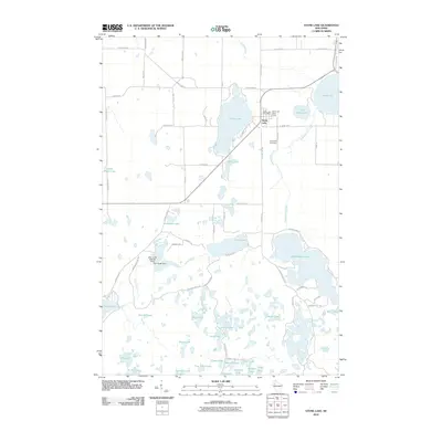
 - 1971 Map of Stone Lake, 1974 Print
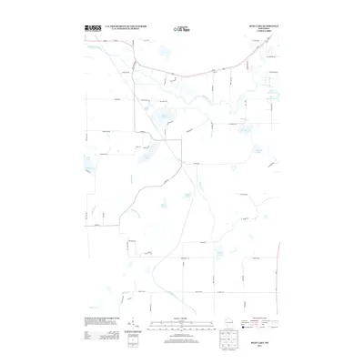
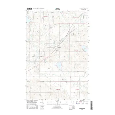
 1971 Stone Lake1974 Print · USGSThe Northwoods of Washburn and Sawyer Counties are captured here in the early 1970s, as the railroad and timber landscape began shifting toward lakeside recreation. Genealogists and local historians can trace the Stone Lake settlement, the Evergreen Cem, and the path of the Soo Line rail corridor.
 - 1980 Map of Spooner
 1980 Spooner1980 Print · USGSNorthwestern Wisconsin at the dawn of the eighties reveals a landscape of deep forests and transitioning rail corridors. Genealogists and historians can trace lakefront settlements like Spooner and Birchwood or follow the early Tuscobia-Park Falls State Trail.
 - 2010 Map of Springbrook, 2010 Print
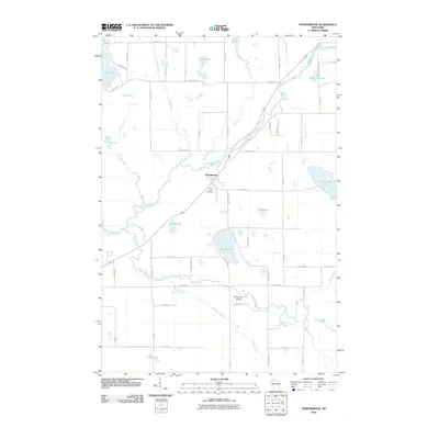 2010 Springbrook2010 Print · USGSCovers Stone Lake, including Springbrook, Crystal, and other nearby areas
 - 2010 Map of Bean Lake, 2010 Print
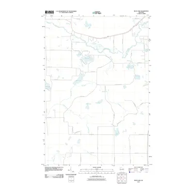 2010 Bean Lake2010 Print · USGSCovers Stone Lake, including Hayward, Bass Lake, and other nearby areas
 - 2010 Map of Potato Lake, 2010 Print
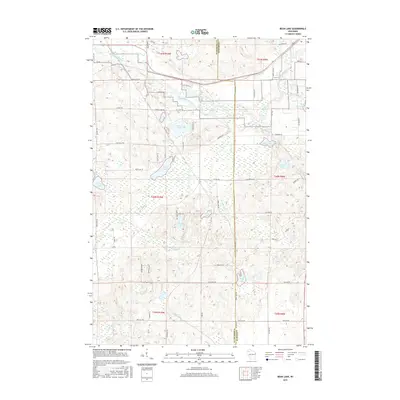
 2010 Potato Lake2010 Print · USGSCovers Stone Lake, including Madge, Crystal, and other nearby areas
 - 2010 Map of Stone Lake, 2010 Print
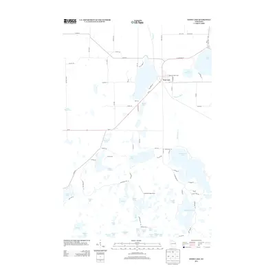
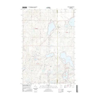
 2010 Stone Lake2010 Print · USGSCovers Stone Lake, including Edgewater, Sand Lake, and other nearby areas
 - 2013 Map of Potato Lake, 2013 Print
 2013 Potato Lake2013 Print · USGSCovers Stone Lake, including Madge, Crystal, and other nearby areas
 - 2013 Map of Springbrook, 2013 Print
 2013 Springbrook2013 Print · USGSCovers Stone Lake, including Springbrook, Crystal, and other nearby areas
 - 2013 Map of Bean Lake, 2013 Print
 2013 Bean Lake2013 Print · USGSCovers Stone Lake, including Hayward, Bass Lake, and other nearby areas
 - 2013 Map of Stone Lake, 2013 Print
 2013 Stone Lake2013 Print · USGSCovers Stone Lake, including Edgewater, Sand Lake, and other nearby areas
 - 2015 Map of Potato Lake, 2015 Print
 2015 Potato Lake2015 Print · USGSCovers Stone Lake, including Madge, Crystal, and other nearby areas
 - 2015 Map of Bean Lake, 2015 Print
 2015 Bean Lake2015 Print · USGSCovers Stone Lake, including Hayward, Bass Lake, and other nearby areas
 - 2015 Map of Springbrook, 2015 Print
 2015 Springbrook2015 Print · USGSCovers Stone Lake, including Springbrook, Crystal, and other nearby areas
 - 2015 Map of Stone Lake, 2015 Print
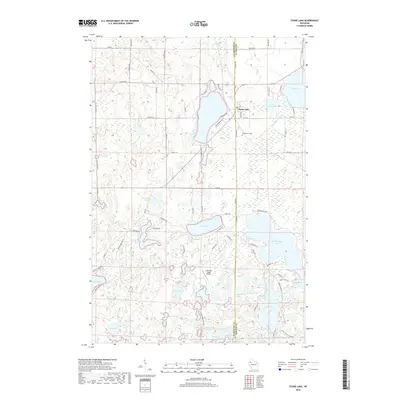
 2015 Stone Lake2015 Print · USGSCovers Stone Lake, including Edgewater, Sand Lake, and other nearby areas
 - 2018 Map of Potato Lake, 2018 Print
 2018 Potato Lake2018 Print · USGSCovers Stone Lake, including Madge, Crystal, and other nearby areas
 - 2018 Map of Stone Lake, 2018 Print
 2018 Stone Lake2018 Print · USGSCovers Stone Lake, including Edgewater, Sand Lake, and other nearby areas
 - 2019 Map of Bean Lake, 2019 Print
 2019 Bean Lake2019 Print · USGSCovers Stone Lake, including Hayward, Bass Lake, and other nearby areas
 - 2019 Map of Springbrook, 2019 Print
 2019 Springbrook2019 Print · USGSCovers Stone Lake, including Springbrook, Crystal, and other nearby areas
Showing maps 1-25 of 29
Top cities near Stone Lake
- Hayward historical maps
- Trego historical maps
- Beaver Brook historical maps
- Edgewater historical maps
- Springbrook historical maps
- Birchwood historical maps
See more
Frequently asked questions
- What are the different types of historical maps available for Stone Lake?
- What is the oldest map of Stone Lake?
- Where can I purchase historical maps of Stone Lake for my home or office?
- Where can I download high-res historical maps of Stone Lake?
- Are there historical topographic maps available for Stone Lake?
- Is there historical aerial imagery available for Stone Lake?
- Where are historical maps of Stone Lake sourced from?