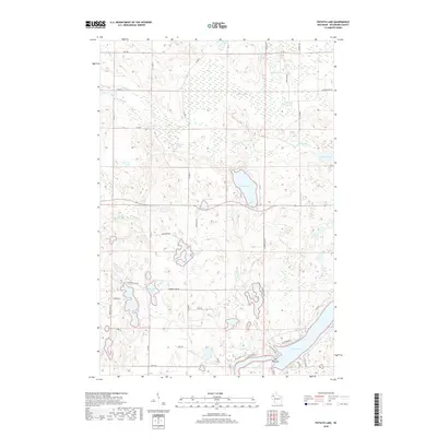
2018 Map of Potato Lake
USGS Topo · Published 2018About this map
Potato Lake and Crystal Lake define the central geography of this Washburn County landscape, where an intricate network of glacial kettle lakes and wetlands dominates the terrain. The southern portion of the sheet is anchored by the northern reaches of Long Lake, featuring the distinctive pinch point known as The Narrows. This area is characterized by a high concentration of water bodies, including Seymour Lake and Glendennon Lake, linked by small waterways like Potato Cr and Pine Brook.
Find a feature on this map
32 named features on this map. Tap any name to fly to it.
Don’t see what you’re looking for? This feature index may not catch every label — zoom into the map to look around manually.
Map Details
Editions of this 2018 Potato Lake Map
This is the sole edition of this map. No revisions or reprints were ever made.
Other maps of this area

1948 · Spooner
USGS Topo · 1:48,000

1948 · Stone Lake
USGS Topo · 1:48,000

1949 · Spooner
USGS Topo · 1:48,000

1949 · Rice Lake
USGS Topo · 1:48,000

1950 · Stone Lake
USGS Topo · 1:48,000

1951 · Shell Lake
USGS Topo · 1:48,000

1951 · Rice Lake
USGS Topo · 1:48,000

1953 · Rice Lake
USGS Topo · 1:250,000

1959 · Rice Lake
USGS Topo · 1:250,000

1965 · Rice Lake
USGS Topo · 1:62,500