2000s (21st Century) Maps of Iola, Wisconsin
Explore 10 historic maps of Iola from the 2000s (21st Century). These maps offer a rare glimpse into what life looked like during the 2000s — showing old roads, neighborhoods, homes, and landmarks that have changed or disappeared over time.
Whether you're researching your family's past, planning a metal detecting trip, or studying how Iola's landscape evolved across the 2000s, these high-resolution maps are a powerful tool for exploring the history of this region.
- Focus on a specific era: All maps on this page are from the 2000s, giving you a focused view of this time period.
- See what’s changed: Compare century-old streets, trails, and buildings to today's modern landscape using overlays and satellite layers.
- Research with precision: Use these maps for genealogy, historical research, land use analysis, or educational projects.
- View, download, or print: Maps are fully viewable online in high resolution, and can be downloaded or printed for your own records.
Start exploring Iola's history through authentic maps from the 2000s. This is your window into the past.
Iola, WI maps
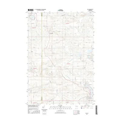
(10)- 2010 Map of Iola, 2010 Print
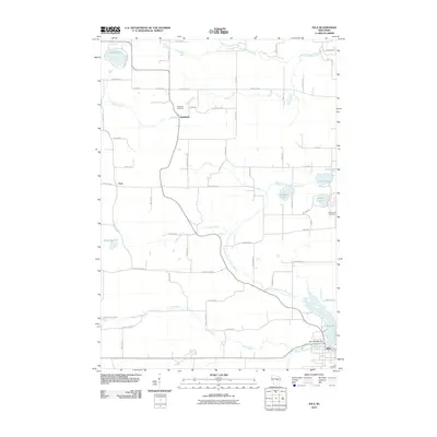 2010 Iola2010 Print · USGSCovers Iola, including Alban, Harrison, and other nearby areas
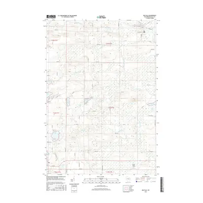
 - 2010 Map of Big Falls, 2010 Print
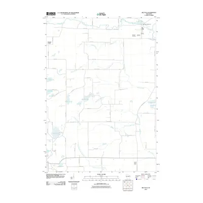 2010 Big Falls2010 Print · USGSCovers Iola, including Big Falls, Harrison, and other nearby areas
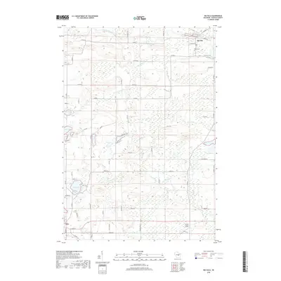
 - 2013 Map of Big Falls, 2013 Print
 2013 Big Falls2013 Print · USGSCovers Iola, including Big Falls, Harrison, and other nearby areas
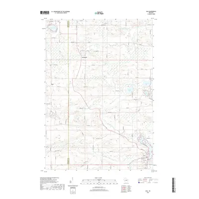
 - 2013 Map of Iola, 2013 Print
 2013 Iola2013 Print · USGSCovers Iola, including Alban, Harrison, and other nearby areas
 - 2015 Map of Iola, 2015 Print
 2015 Iola2015 Print · USGSCovers Iola, including Alban, Harrison, and other nearby areas
 - 2015 Map of Big Falls, 2015 Print
 2015 Big Falls2015 Print · USGSCovers Iola, including Big Falls, Harrison, and other nearby areas
 - 2018 Map of Big Falls, 2018 Print
 2018 Big Falls2018 Print · USGSCovers Iola, including Big Falls, Harrison, and other nearby areas
 - 2018 Map of Iola, 2018 Print
 2018 Iola2018 Print · USGSCovers Iola, including Alban, Harrison, and other nearby areas
 - 2022 Map of Iola, 2022 Print
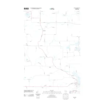
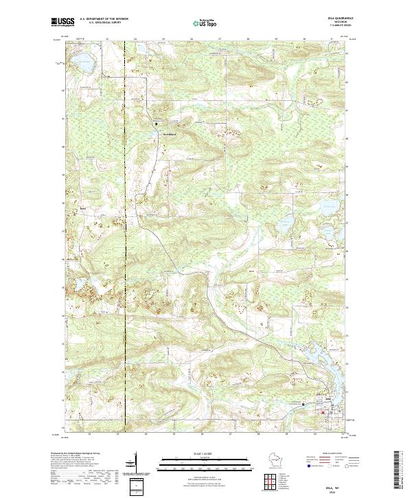 2022 Iola2022 Print · USGSWaupaca County's glacial landscape is meticulously detailed in the early 2020s, showing the settled townships surrounding Iola. Researchers can trace old family footprints through sites like Hitterdahl Lutheran Cem and Northland, or follow the banks of the Little Wolf River.
 - 2022 Map of Big Falls, 2022 Print
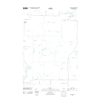
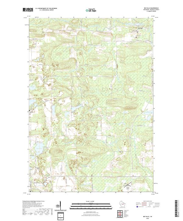 2022 Big Falls2022 Print · USGSBig Falls and the surrounding Waupaca County wetlands appear here as they were in the early 2020s, showing a landscape defined by glacial lakes and river forks. Researchers can locate family sites near the Hitterdahl Lutheran Cem or trace the drainage of the Little Wolf River and S Fork Blake Cr.
End of results
Showing maps 1-10 of 10
Top cities near Iola
- Waupaca historical maps
- Stockton historical maps
- Weyauwega historical maps
- Iola historical maps
- Amherst historical maps
- Wittenberg historical maps
See more
Frequently asked questions
- What are the different types of historical maps available for Iola?
- What is the oldest map of Iola?
- Where can I purchase historical maps of Iola for my home or office?
- Where can I download high-res historical maps of Iola?
- Are there historical topographic maps available for Iola?
- Is there historical aerial imagery available for Iola?
- Where are historical maps of Iola sourced from?