Old Maps of Waupaca, Wisconsin for Academic Research
Study the evolution of Waupaca with 31 high-resolution historic maps. Whether you're teaching, researching, or modeling changes in land use, these maps provide essential visual documentation of urban, environmental, and geographic change.
- Analyze long-term change: Track patterns in development, transportation, and natural features.
- Ideal for environmental or urban studies: Support academic projects with primary historical map data.
- Use in the classroom or lab: Educators and researchers rely on these maps to bring historical context to life.
These maps are a powerful tool for teaching, research, and visualizing how Waupaca has changed over the decades.
Waupaca, WI maps
(31)- 1955 Map of Green Bay, 1968 Print
 1955 Green Bay1968 Print · USGSCentral and Eastern Wisconsin are captured here in the mid-fifties, showing the industrial growth of the Fox Valley and Wisconsin River corridors. Genealogists and historians can trace rail lines like the Green Bay and Western through settlements like Weyauwega, Clintonville, and Pulaski.2 unique versions available
 - 1956 Map of Weyauwega, 1958 Print
 1956 Weyauwega1958 Print · USGSCentral Waupaca County is mapped here in the mid-fifties, showing a landscape defined by the winding Wolf River and a thriving network of rural townships. Genealogists can trace family roots at St Patricks Cem, Baldwins Mill Sch, and the State Sanatorium.
 - 1957 Map of Waupaca, 1959 Print
 1957 Waupaca1959 Print · USGSWaupaca and the famous Chain O' Lakes are captured in the late fifties, showing a landscape of small lakeside settlements and rural schoolhouses. Researchers can find Waupaca Boys Camp, trace the old Green Bay and Western line, or locate King and Rural.2 unique versions available
 - 1969 Map of Manawa, 1971 Print
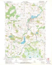 1969 Manawa1971 Print · USGSWaupaca County's rural heartland is captured here in the late sixties as the river-and-rail economy defined local life. Researchers can trace family-named roads and find quiet landmarks like St John Ch, Baldwins Mill Cem, and Green Valley Sch.2 unique versions available
 - 1969 Map of Weyauwega, 1971 Print
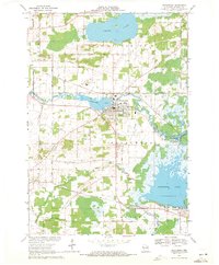 1969 Weyauwega1971 Print · USGSWeyauwega and the surrounding Waupaca County countryside are captured here in the late sixties as the river-and-rail economy remained central to the region. Researchers can trace family-named sites like Butternut Ridge, find local landmarks like the Waupaca County Fairground, and locate cemeteries including Oakwood Cemetery and Hobart Cem.2 unique versions available
 - 1969 Map of Waupaca, 1972 Print
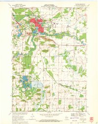 1969 Waupaca1972 Print · USGSWaupaca and its surrounding townships are captured in the late sixties as the area balanced its river-based industry with growing recreational lakefronts. Genealogists and local researchers can locate St Mary Magdalene Cem, the settlement of Little Hope, and the path of the Soo Line railroad.
 - 1969 Map of Ogdensburg, 1972 Print
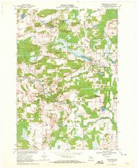 1969 Ogdensburg1972 Print · USGSOgdensburg and the surrounding Waupaca County countryside are captured here in the late sixties, showcasing a landscape of glacial lakes and rural industry. Genealogists and local historians can locate the Ogdensburg Cemetery, trace the Green Bay and Western railroad, and identify early extractive sites like the Quarry.
 - 1984 Map of Appleton, 1985 Print
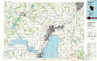 1984 Appleton1985 Print · USGSThe Fox River Valley in the mid-eighties shows a bustling corridor of industry and nature, from the shores of Lake Winnebago to the Oneida Indian Reservation. Trace local heritage through landmarks like Riverside Cem or explore the wetlands of Poygan Marsh State Wildlife Area.2 unique versions available
 - 1985 Map of Wisconsin Rapids
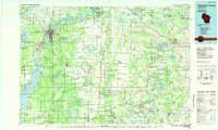 1985 Wisconsin Rapids1985 Print · USGSCentral Wisconsin in the mid-eighties shows a landscape of engineered waterways and active rail corridors between Wisconsin Rapids and Waupaca. Genealogists and researchers can trace local landmarks like Roche A Cri State Park, the SOO LINE, and small settlements like Coddington or Rudolph.2 unique versions available
 - 1992 Map of Waupaca, 1995 Print
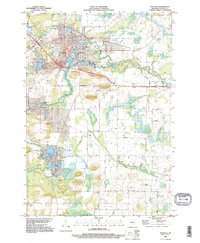 1992 Waupaca1995 Print · USGSWaupaca and its surrounding glacial lake country are captured here during the early nineties, showing the city's relationship with the local river systems. Researchers can trace family roots at Lakeside Cem or locate old community centers like Little Hope and Lind Center.
 - 1992 Map of Ogdensburg, 1995 Print
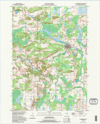 1992 Ogdensburg1995 Print · USGSCentral Wisconsin at the dawn of the nineties shows a landscape of glacial lakes and quiet river valleys. Genealogists can trace family footprints near Ogdensburg via Iola Cem, Ogdensburg Cem, and the timbered slopes of Poverty Hill.
 - 2010 Map of Ogdensburg, 2010 Print
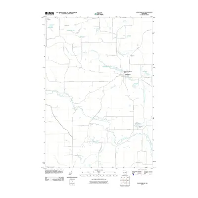 2010 Ogdensburg2010 Print · USGSOgdensburg and the surrounding Waupaca County countryside are captured here at the start of the 2010s. Researchers can locate family landmarks like the Ogdensburg Cemetery, the Ogdensburg 1855c325 Dam, and several namesake lakes including Knutson Lake and Shambeau Lake.
 - 2010 Map of Waupaca, 2010 Print
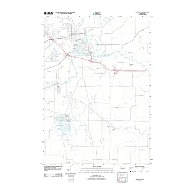 2010 Waupaca2010 Print · USGSWaupaca and its surrounding lake country are shown here in the late 2000s, centered on the historic river town and its industrial dams. Genealogists and local historians can trace legacy sites like Saint Mary Magdalene Cemetery and the settlement at Little Hope.
 - 2010 Map of Weyauwega, 2010 Print
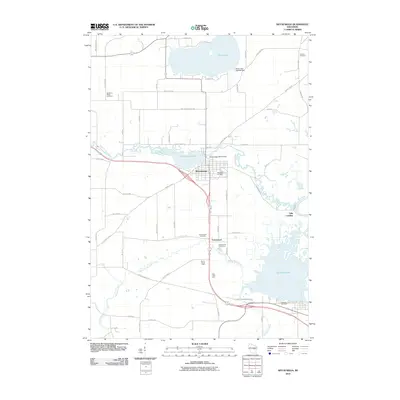 2010 Weyauwega2010 Print · USGSWaupaca County's river-and-lake landscape is recorded here in the early twenty-first century, centered on the community of Weyauwega. Genealogists and local historians can trace several burial sites like Oakwood Cemetery and family landmarks such as Evanswood Stock Farm and Gills Landing.
 - 2010 Map of Manawa, 2010 Print
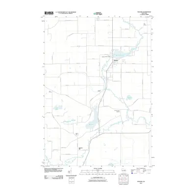 2010 Manawa2010 Print · USGSWaupaca County's river valleys and small farming communities are preserved here as they appeared in the early twenty-first century. Genealogists can trace family roots at the Waupaca County Poor Farm Cemetery, Union Cemetery, and the historic settlement of Baldwins Mill.
 - 2013 Map of Manawa, 2013 Print
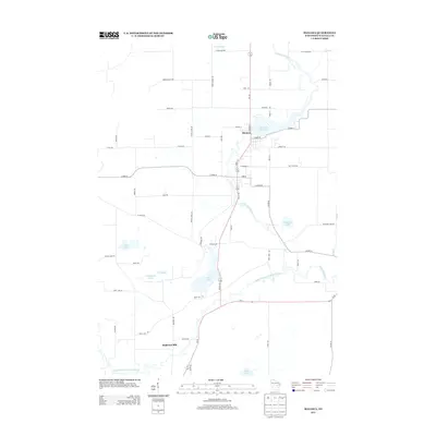 2013 Manawa2013 Print · USGSThe riverfront town of Manawa and the nearby community of Baldwins Mill are documented here in the early twenty-first century. Researchers can trace local development around Manawa Pond 275 and locate dozens of water features like Bear Lake and Vesey Lake.
 - 2013 Map of Weyauwega, 2013 Print
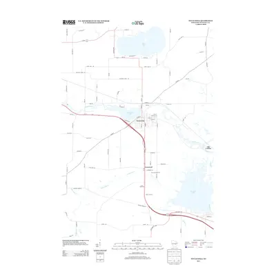 2013 Weyauwega2013 Print · USGSIn the early twenty-first century, this Waupaca County region remains defined by its storied rivers and named family farms. Genealogists and local historians can trace the geography of rural life through sites like Evanswood Stock Farm, Gills Landing, and White Lake.
 - 2013 Map of Waupaca, 2013 Print
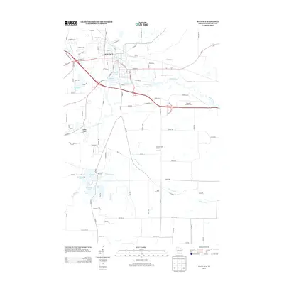 2013 Waupaca2013 Print · USGSWaupaca and the surrounding lake country of Central Wisconsin are captured here in the early twenty-first century. Researchers can trace the development of local waterways and the distribution of family-named landmarks like Maple Lind Farm or Bailey Lake.
 - 2013 Map of Ogdensburg, 2013 Print
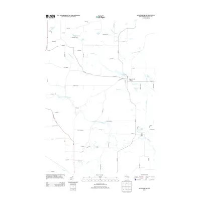 2013 Ogdensburg2013 Print · USGSWaupaca County's glacial landscape is well-defined in this recent survey, showcasing a network of small lakes and river branches around the village of Ogdensburg. Local historians can trace family-named landmarks like Shambeau Lake and Christensen's Orchard or locate the Casey Lake Airport.
 - 2015 Map of Ogdensburg, 2015 Print
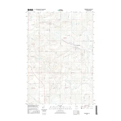 2015 Ogdensburg2015 Print · USGSWaupaca County's glacial landscape is on full display in the mid-2010s, centered on the village of Ogdensburg. Researchers can trace local lineage through sites like Lola Cem and Ogdensburg Cem, or locate family homesteads near Hermanson Lake and Shambeau Lake.
 - 2015 Map of Waupaca, 2015 Print
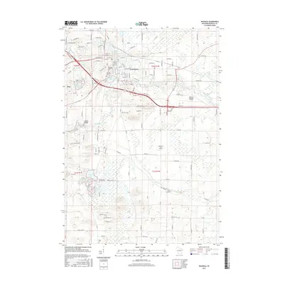 2015 Waupaca2015 Print · USGSWaupaca and its surrounding lake country are shown in high detail during the mid-2010s, capturing the area's mix of municipal growth and aquatic landscapes. Trace local history through numerous burial sites like Lind Center Cem or explore the waterways of the Crystal River and Mirror Lake.
 - 2016 Map of Manawa, 2016 Print
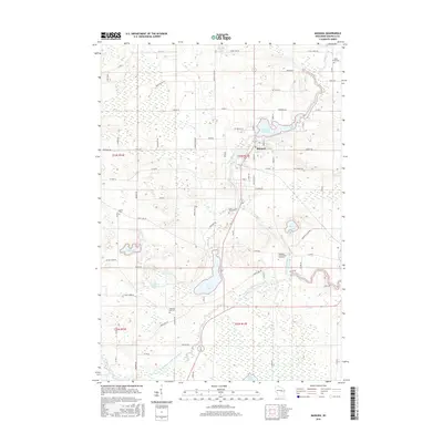 2016 Manawa2016 Print · USGSThe city of Manawa and its glacial lake country are captured here in the mid-2010s, showing a landscape defined by the Little Wolf River. Genealogists can trace family sites near Union Cemetery or the unique Waupaca County Poor Farm Cemetery.
 - 2016 Map of Weyauwega, 2016 Print
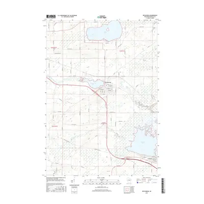 2016 Weyauwega2016 Print · USGSCentral Wisconsin wetlands and river towns are documented here in the mid-2010s. Genealogists and historians can locate legacy sites like Farley Cem or trace the old Railroad Grade Rd through the Walla Walla Cr marshes.
 - 2018 Map of Manawa, 2018 Print
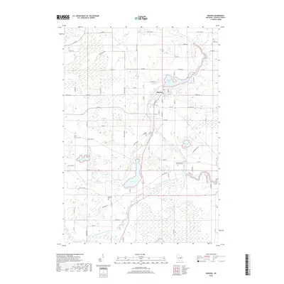 2018 Manawa2018 Print · USGSManawa and the surrounding Waupaca County countryside are centered on the winding Little Wolf River in this modern topographic study. Researchers can trace local heritage through several sites, including Union Cemetery and the notable Waupaca County Poor Farm Cemetery.
 - 2018 Map of Weyauwega, 2018 Print
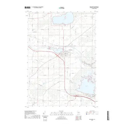 2018 Weyauwega2018 Print · USGSWeyauwega and the surrounding lakelands are shown in great detail during the late twenty-tens. Researchers can trace rural cemetery sites like Oakwood Cem and Farley Cem or explore the water-connected settlements of Weyauwega and Fremont.
Showing maps 1-25 of 31
Top cities near Waupaca
- Waupaca historical maps
- Weyauwega historical maps
- Manawa historical maps
- Iola historical maps
- Alban historical maps
- Wild Rose historical maps
See more
Frequently asked questions
- What are the different types of historical maps available for Waupaca?
- What is the oldest map of Waupaca?
- Where can I purchase historical maps of Waupaca for my home or office?
- Where can I download high-res historical maps of Waupaca?
- Are there historical topographic maps available for Waupaca?
- Is there historical aerial imagery available for Waupaca?
- Where are historical maps of Waupaca sourced from?