Old Maps of Waupun, Wisconsin for Genealogy
Trace your family roots with 31 historic maps of Waupun. These high-res maps reveal old neighborhoods, homesites, landmarks, and streets — helping you uncover where your ancestors lived and how the area evolved over time.
- Explore historic neighborhoods: Identify where your relatives may have lived in the 1800s or 1900s.
- Compare maps over time: Trace the changes in streets, buildings, and landmarks for multi-generational research.
- Perfect for genealogy & ancestry research: Used by family historians and researchers to map out lineage and migration.
These maps are an incredible resource for exploring your personal connection to Waupun's past.
Waupun, WI maps
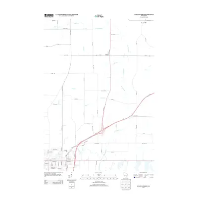
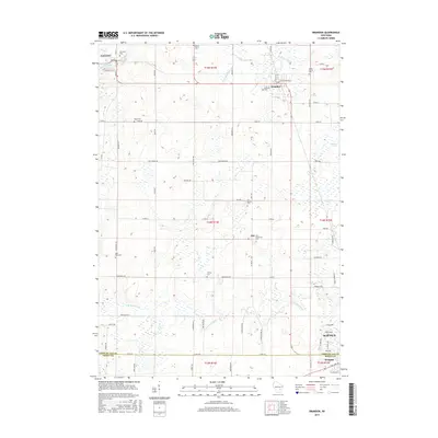
(31)- 1955 Map of Waupun, 1957 Print
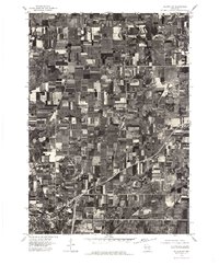
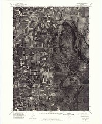
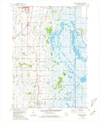
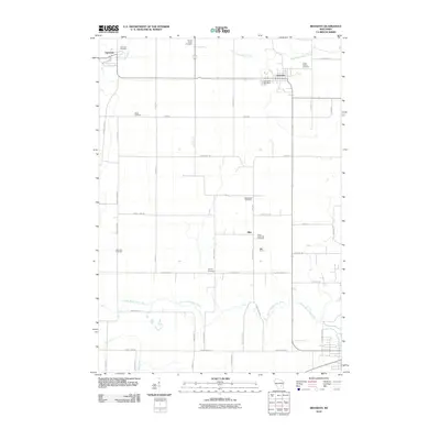
 1955 Waupun1957 Print · USGSIn the mid-1950s, the Dodge and Fond du Lac county border was defined by the massive wetland expanse of the Horicon Marsh. Genealogists and local historians can trace rural school locations like Cattaraugus Sch and the institutional grounds of the State Prison in Waupun.2 unique versions available
 - 1955 Map of Fox Lake, 1957 Print
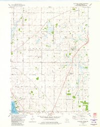
 1955 Fox Lake1957 Print · USGSIn the mid-1950s, the Dodge and Green Lake County borderlands were defined by a high density of one-room schoolhouses and rail-dependent towns. Trace family roots at Tichora Cem or follow the old Milwaukee Road tracks through Markesan and Fox Lake Junction.
 - 1957 Map of Madison, 1967 Print
 1957 Madison1967 Print · USGSSouth-central Wisconsin in the mid-fifties reveals a landscape of industrial hubs and glacial lakes linked by a dense rail and highway network. Genealogists and historians can trace the development of lakeside communities and find notable sites like Badger Ordnance Works and the Horicon National Wildlife Refuge.3 unique versions available
 - 1960 Map of Madison
 1960 Madison1960 Print · USGSCentral and Southern Wisconsin are captured in the late fifties, showing the region as its rail-and-river network matured. Trace the paths of the Soo Line RR or locate family roots near Lake Mendota and Horicon National Wildlife Refuge.2 unique versions available
 - 1975 Map of Waupun NW, 1977 Print
 1975 Waupun NW1977 Print · USGSThe northern outskirts of Waupun and the surrounding dairy lands are captured here in the mid-seventies. Researchers can examine the detailed rural landscape around the settlement of Ladoga and the marshy fringes of the Horicon National Wildlife Refuge.
 - 1975 Map of Waupun SW, 1977 Print
 1975 Waupun SW1977 Print · USGSThe Dodge County wetlands and agricultural frontier are captured in this mid-seventies aerial survey. Researchers can trace the boundaries of the Horicon National Wildlife Refuge and the southern edge of Waupun.
 - 1980 Map of Fond Du Lac
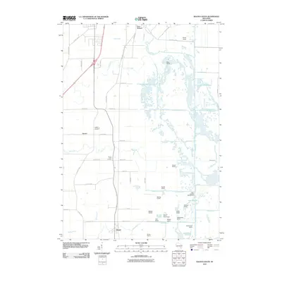
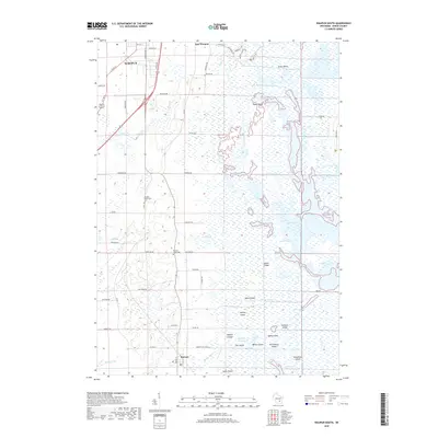
 1980 Fond Du Lac1980 Print · USGSThe Fox River Valley and Horicon Marsh meet here during the late twentieth century, showing a transition from lakeside industry to glacial conservation. Genealogists can locate family sites at Estabrook Cem or trace the rail lines through Ripon and Waupun.
 - 1980 Map of Brandon, 1981 Print
 1980 Brandon1981 Print · USGSBrandon and its surrounding townships are shown here in the late seventies, a landscape shaped by the headwaters of the Rock River and the local rail line. Genealogists can locate several rural burial grounds including Union Prairie Cem and Wood Cem near Fairwater.
 - 1980 Map of Waupun North, 1981 Print
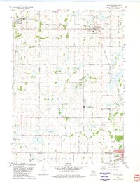
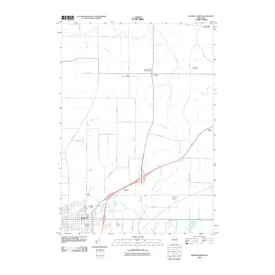
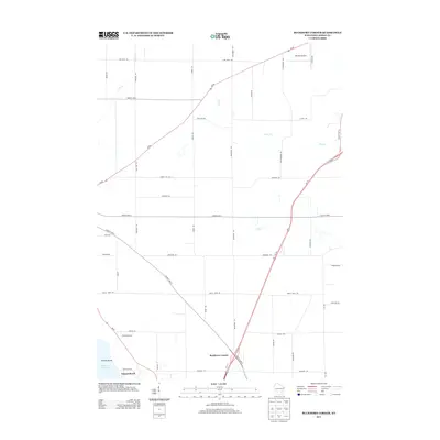
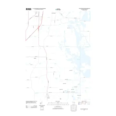
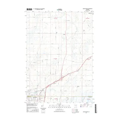
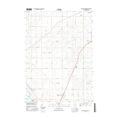
 1980 Waupun North1981 Print · USGSThe city of Waupun and its surrounding townships are shown here in the early eighties, just as the local rail and prison systems remained central to the town's identity. Researchers can trace family roots through numerous sites like Cattaraugus Cem, Amity Sch, and the State Prison Farm.
 - 1980 Map of Waupun South, 1981 Print
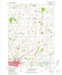
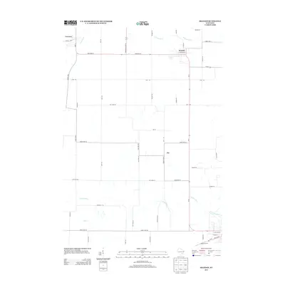
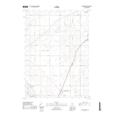
 1980 Waupun South1981 Print · USGSDodge County's expansive wetlands and rural townships are frozen in time during the early eighties. Genealogists and historians can trace the foundations of Atwater, Burnett, and Chester, alongside landmarks like Burnett Union Cem and the Chester Sch.
 - 1980 Map of Buckhorn Corner, 1981 Print
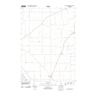
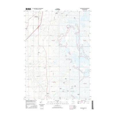
 1980 Buckhorn Corner1981 Print · USGSDodge County dairy country is captured here during the 1980s, showcasing a landscape of family farms and wetland conservation. Genealogists can locate family sites near Trenton Center Cem, the Trenton Sch, and the St John Ch.
 - 2010 Map of Buckhorn Corner, 2010 Print
 2010 Buckhorn Corner2010 Print · USGSCovers Waupun, including Beaver Dam, Burnett, and other nearby areas
 - 2010 Map of Waupun North, 2010 Print
 2010 Waupun North2010 Print · USGSCovers Waupun, including Lamartine, Rogersville, and other nearby areas
 - 2010 Map of Brandon, 2010 Print
 2010 Brandon2010 Print · USGSCovers Waupun, including Alto, Brandon, and other nearby areas
 - 2010 Map of Waupun South, 2010 Print
 2010 Waupun South2010 Print · USGSCovers Waupun, including Burnett, Atwater, and other nearby areas
 - 2013 Map of Buckhorn Corner, 2013 Print
 2013 Buckhorn Corner2013 Print · USGSCovers Waupun, including Beaver Dam, Burnett, and other nearby areas
 - 2013 Map of Brandon, 2013 Print
 2013 Brandon2013 Print · USGSCovers Waupun, including Alto, Brandon, and other nearby areas
 - 2013 Map of Waupun North, 2013 Print
 2013 Waupun North2013 Print · USGSCovers Waupun, including Lamartine, Rogersville, and other nearby areas
 - 2013 Map of Waupun South, 2013 Print
 2013 Waupun South2013 Print · USGSCovers Waupun, including Burnett, Atwater, and other nearby areas
 - 2015 Map of Waupun South, 2015 Print
 2015 Waupun South2015 Print · USGSCovers Waupun, including Burnett, Atwater, and other nearby areas
 - 2015 Map of Waupun North, 2015 Print
 2015 Waupun North2015 Print · USGSCovers Waupun, including Lamartine, Rogersville, and other nearby areas
 - 2015 Map of Brandon, 2015 Print
 2015 Brandon2015 Print · USGSCovers Waupun, including Alto, Brandon, and other nearby areas
 - 2015 Map of Buckhorn Corner, 2015 Print
 2015 Buckhorn Corner2015 Print · USGSCovers Waupun, including Beaver Dam, Burnett, and other nearby areas
 - 2018 Map of Waupun South, 2018 Print
 2018 Waupun South2018 Print · USGSCovers Waupun, including Burnett, Atwater, and other nearby areas
 - 2018 Map of Buckhorn Corner, 2018 Print
 2018 Buckhorn Corner2018 Print · USGSCovers Waupun, including Beaver Dam, Burnett, and other nearby areas
Showing maps 1-25 of 31
Top cities near Waupun
- Beaver Dam historical maps
- Ripon historical maps
- Mayville historical maps
- Horicon historical maps
- Juneau historical maps
- Lamartine historical maps
See more
Frequently asked questions
- What are the different types of historical maps available for Waupun?
- What is the oldest map of Waupun?
- Where can I purchase historical maps of Waupun for my home or office?
- Where can I download high-res historical maps of Waupun?
- Are there historical topographic maps available for Waupun?
- Is there historical aerial imagery available for Waupun?
- Where are historical maps of Waupun sourced from?