Old Maps of Neenah, Wisconsin for Hiking & Exploration
Hike through history with 19 historic maps of Neenah. Explore old trails, ghost towns, and forgotten backroads — perfect for outdoor adventurers and local explorers.
- Rediscover forgotten places: Map out old mining camps, roads, and footpaths that no longer exist on modern maps.
- Layer with modern tools: Combine with LiDAR or satellite views to plan hikes through historical terrain.
- Made for exploration: Popular among hikers, overlanders, and local history lovers.
Use these maps to find adventure and explore the hidden past of Neenah.
Neenah, WI maps
(19)- 1911 Map of Neenah, 1949 Print
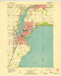
 1911 Neenah1949 Print · USGSThe Fox River Valley was a thriving industrial and social corridor at the dawn of the twentieth century. Genealogists and historians can trace the early layouts of Neenah and Menasha or locate vanished landmarks like High Cliff PO and the Limeworks.
 - 1955 Map of Neenah, 1957 Print
 1955 Neenah1957 Print · USGSMid-century Wisconsin comes to life along the Fox River and Lake Winnebago as industrial towns like Neenah and Menasha expand. Genealogists and historians can trace old property lines near St Marys Cem or locate defunct landmarks like the Drive-in Theater and Clay Sch.3 unique versions available
 - 1955 Map of Neenah, 1957 Print
 1955 Neenah1957 Print · USGSMid-century Neenah and Menasha show a bustling river-and-rail corridor at the mouth of Lake Winnebago. Genealogists and historians can trace neighborhood growth near Doty Island, locate family sites at Oak Hill Cem, or find recreation spots like Waverly Beach.3 unique versions available
 - 1955 Map of Green Bay, 1968 Print
 1955 Green Bay1968 Print · USGSCentral and Eastern Wisconsin are captured here in the mid-fifties, showing the industrial growth of the Fox Valley and Wisconsin River corridors. Genealogists and historians can trace rail lines like the Green Bay and Western through settlements like Weyauwega, Clintonville, and Pulaski.2 unique versions available
 - 1961 Map of Oshkosh, 1963 Print
 1961 Oshkosh1963 Print · USGSThe Fox River Valley in the early sixties showcases the expansion of Oshkosh and its lakefront settlements. Genealogists and historians can trace family roots through local sites like Calvary Cem, St Peters Cem, and the Winnebago State Hospital grounds.2 unique versions available
 - 1961 Map of Oshkosh NE, 1966 Print
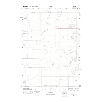
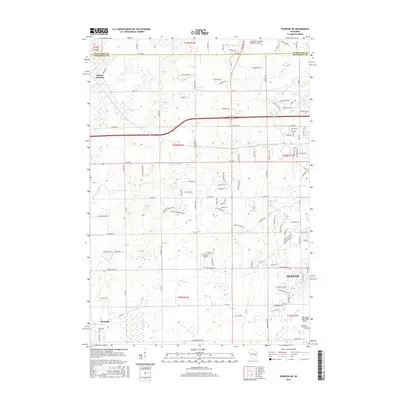
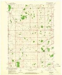 1961 Oshkosh NE1966 Print · USGSWinnebago County farm country and rail junctions are captured here in the early sixties. Researchers can trace the tracks of the Soo Line through Medina Junction and find local landmarks like Immanuel Ch, Clayton Cem, and Gillingham Sch.3 unique versions available
 - 1984 Map of Appleton, 1985 Print
 1984 Appleton1985 Print · USGSThe Fox River Valley in the mid-eighties shows a bustling corridor of industry and nature, from the shores of Lake Winnebago to the Oneida Indian Reservation. Trace local heritage through landmarks like Riverside Cem or explore the wetlands of Poygan Marsh State Wildlife Area.2 unique versions available
 - 1992 Map of Neenah, 1996 Print
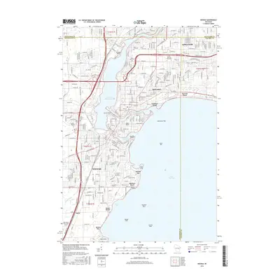
 1992 Neenah1996 Print · USGSThe Fox River Valley saw significant development in the early nineties, centered on the growing industrial and residential districts of Neenah and Menasha. Genealogists and local historians can trace family locations through numerous sites like St Patricks Cem, Stroebe Island, and the rail corridors of the Soo Line.
 - 1992 Map of Oshkosh NE, 1996 Print
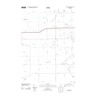
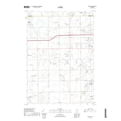
 1992 Oshkosh NE1996 Print · USGSWinnebago County in the early nineties shows a landscape of rail-connected hamlets and growing aviation hubs northwest of Lake Winnebago. Researchers can trace the Soo Line through Medina Junction and find local landmarks like Larsen and Allenville.
 - 2010 Map of Neenah, 2010 Print
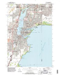
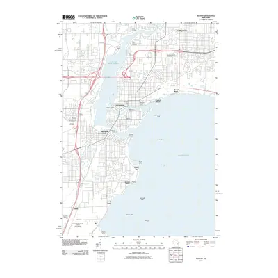 2010 Neenah2010 Print · USGSCovers Neenah, including Appleton, Grand Chute, and other nearby areas
 - 2010 Map of Oshkosh NE, 2010 Print
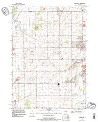
 2010 Oshkosh NE2010 Print · USGSCovers Neenah, including Fox Crossing, Greenville, and other nearby areas
 - 2013 Map of Oshkosh NE, 2013 Print
 2013 Oshkosh NE2013 Print · USGSCovers Neenah, including Fox Crossing, Greenville, and other nearby areas
 - 2013 Map of Neenah, 2013 Print
 2013 Neenah2013 Print · USGSCovers Neenah, including Appleton, Grand Chute, and other nearby areas
 - 2016 Map of Oshkosh NE, 2016 Print
 2016 Oshkosh NE2016 Print · USGSCovers Neenah, including Fox Crossing, Greenville, and other nearby areas
 - 2016 Map of Neenah, 2016 Print
 2016 Neenah2016 Print · USGSCovers Neenah, including Appleton, Grand Chute, and other nearby areas
 - 2018 Map of Neenah, 2018 Print
 2018 Neenah2018 Print · USGSCovers Neenah, including Appleton, Grand Chute, and other nearby areas
 - 2018 Map of Oshkosh NE, 2018 Print
 2018 Oshkosh NE2018 Print · USGSCovers Neenah, including Fox Crossing, Greenville, and other nearby areas
 - 2022 Map of Neenah, 2022 Print
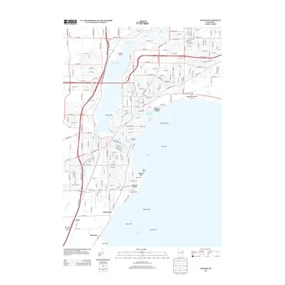
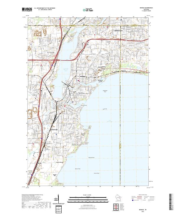 2022 Neenah2022 Print · USGSThe Fox River valley's industrial heart comes into focus during this era of suburban growth and lakeside recreation. Researchers can trace the development of Neenah and Menasha, from the shores of Doty Island to Saint Patrick's Cem.
 - 2022 Map of Oshkosh NE, 2022 Print
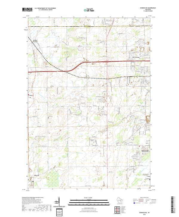 2022 Oshkosh NE2022 Print · USGSWinnebago County at the start of the 2020s shows the suburban interface between Fox Crossing and rural farmland. Genealogists and historians can locate legacy sites like Allenville Cemetery and trace the Arrowhead River and Rat River through Medina Junction.
End of results
Showing maps 1-19 of 19
Top cities near Neenah
- Appleton historical maps
- Oshkosh historical maps
- Neenah historical maps
- Grand Chute historical maps
- Fox Crossing historical maps
- Menasha historical maps
See more
Top neighborhoods of Neenah
- Ricker Bay historical maps
- Adella Beach historical maps
- Town of Neenah historical maps
- Rainbow Beach historical maps
- Hidden Acres historical maps
Frequently asked questions
- What are the different types of historical maps available for Neenah?
- What is the oldest map of Neenah?
- Where can I purchase historical maps of Neenah for my home or office?
- Where can I download high-res historical maps of Neenah?
- Are there historical topographic maps available for Neenah?
- Is there historical aerial imagery available for Neenah?
- Where are historical maps of Neenah sourced from?