Old Maps of Oshkosh, Wisconsin for Academic Research
Study the evolution of Oshkosh with 25 high-resolution historic maps. Whether you're teaching, researching, or modeling changes in land use, these maps provide essential visual documentation of urban, environmental, and geographic change.
- Analyze long-term change: Track patterns in development, transportation, and natural features.
- Ideal for environmental or urban studies: Support academic projects with primary historical map data.
- Use in the classroom or lab: Educators and researchers rely on these maps to bring historical context to life.
These maps are a powerful tool for teaching, research, and visualizing how Oshkosh has changed over the decades.
Oshkosh, WI maps
(25)- 1911 Map of Neenah, 1949 Print
 1911 Neenah1949 Print · USGSThe Fox River Valley was a thriving industrial and social corridor at the dawn of the twentieth century. Genealogists and historians can trace the early layouts of Neenah and Menasha or locate vanished landmarks like High Cliff PO and the Limeworks.
 - 1955 Map of Neenah, 1957 Print
 1955 Neenah1957 Print · USGSMid-century Wisconsin comes to life along the Fox River and Lake Winnebago as industrial towns like Neenah and Menasha expand. Genealogists and historians can trace old property lines near St Marys Cem or locate defunct landmarks like the Drive-in Theater and Clay Sch.3 unique versions available
 - 1955 Map of Green Bay, 1968 Print
 1955 Green Bay1968 Print · USGSCentral and Eastern Wisconsin are captured here in the mid-fifties, showing the industrial growth of the Fox Valley and Wisconsin River corridors. Genealogists and historians can trace rail lines like the Green Bay and Western through settlements like Weyauwega, Clintonville, and Pulaski.2 unique versions available
 - 1961 Map of Oshkosh, 1962 Print
 1961 Oshkosh1962 Print · USGSOshkosh and the Fox River waterfront are captured in detail during the early sixties, showing the city's transition from a rail-heavy industrial hub to a regional educational center. Genealogists can locate family sites near Riverside Cemetery, Wisconsin State College, or the Sunny View Sanatorium.2 unique versions available
 - 1961 Map of Oshkosh, 1963 Print
 1961 Oshkosh1963 Print · USGSThe Fox River Valley in the early sixties showcases the expansion of Oshkosh and its lakefront settlements. Genealogists and historians can trace family roots through local sites like Calvary Cem, St Peters Cem, and the Winnebago State Hospital grounds.2 unique versions available
 - 1961 Map of Omro, 1966 Print
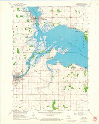 1961 Omro1966 Print · USGSThe confluence of the Wolf and Fox Rivers defines this corner of Wisconsin in the early sixties. Genealogists and historians can trace lakeside settlements like Rivermoor or find rural landmarks such as Pingry Sch and the Omro Union Cem.2 unique versions available
 - 1974 Map of Indian Point, 1978 Print
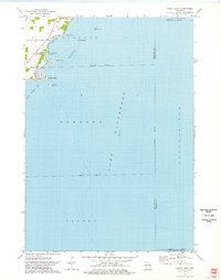 1974 Indian Point1978 Print · USGSThe western shores of Lake Winnebago are captured here in the mid-seventies, showing the intersection of lakeside life and residential growth. Genealogists and local historians can trace shoreline developments at Osh-O-Nee Shores, Paynes Point, and Island Park.
 - 1984 Map of Appleton, 1985 Print
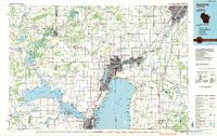 1984 Appleton1985 Print · USGSThe Fox River Valley in the mid-eighties shows a bustling corridor of industry and nature, from the shores of Lake Winnebago to the Oneida Indian Reservation. Trace local heritage through landmarks like Riverside Cem or explore the wetlands of Poygan Marsh State Wildlife Area.2 unique versions available
 - 1992 Map of Oshkosh, 1996 Print
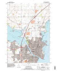 1992 Oshkosh1996 Print · USGSThe Fox River waterfront and the urban core of Oshkosh are shown here in the 1990s. Researchers can trace the grounds of the Winnebago State Hospital, the University of Wisconsin Oshkosh, and the Soo Line rail corridor.
 - 1992 Map of Indian Point, 1996 Print
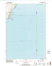 1992 Indian Point1996 Print · USGSThe western shores of Lake Winnebago are captured in detail during the early nineties, showing a landscape defined by coastal points and recreational landings. Researchers can trace local property lines and shoreline features like Indian Point, Cowling Bay, and the Osh-O-Nee Midway Boat Ramp.
 - 2010 Map of Oshkosh, 2010 Print
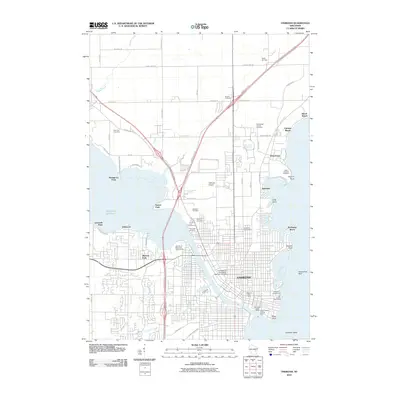 2010 Oshkosh2010 Print · USGSOshkosh and the western shores of Lake Winnebago are captured here at the start of the 2010s, showing a landscape defined by the Fox River and Lake Butte des Morts. Researchers can locate long-standing institutions like the University of Wisconsin-Oshkosh Campus, Buckstaff Observatory, and the State Hospital Cemetery.
 - 2011 Map of Indian Point, 2011 Print
 2011 Indian Point2011 Print · USGSLake Winnebago's western shore comes into focus in this early 2010s study, documenting the residential developments and rocky shoals north of Oshkosh. Boaters and local historians can trace landmarks like Indian Point, Blackbird Island, and the Osh-O-Nee Midway Boat Ramp.
 - 2011 Map of Omro, 2011 Print
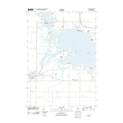 2011 Omro2011 Print · USGSThe Fox and Wolf rivers meet here in the early 2000s, shaping a landscape of waterfront neighborhoods and historic cemeteries. Genealogists can trace family names at the Omro Union Cemetery or Village of Winneconne Cemetery.
 - 2013 Map of Indian Point, 2013 Print
 2013 Indian Point2013 Print · USGSThe western shore of Lake Winnebago is documented in this 2013 survey of the waterside communities near Oshkosh. Boaters and local historians can trace the shoreline's edge from Jenkyns Point down to the Osh-O-Nee Midway Boat Ramp and Island Park.
 - 2013 Map of Oshkosh, 2013 Print
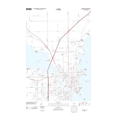 2013 Oshkosh2013 Print · USGSOshkosh and its surrounding lakefront communities are shown in high detail during the early 2010s. Researchers can trace local landmarks like the Buckstaff Observatory, the Wisconsin St Prison Farm, and the shoreline at Shangri La Point.
 - 2013 Map of Omro, 2013 Print
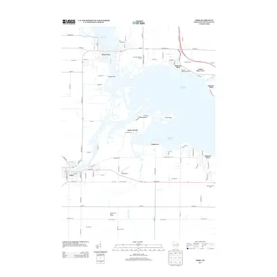 2013 Omro2013 Print · USGSIn the early twenty-first century, the river towns of Winneconne and Omro remained centered on the vital connection between the Wolf River and Lake Butte des Morts. Genealogists and local researchers can trace the shoreline growth of Rivermoor or locate family-named sites like Remer Farms and Quigleys Point.
 - 2016 Map of Omro, 2016 Print
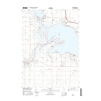 2016 Omro2016 Print · USGSThe Fox and Wolf Rivers converge here in the mid-2010s, shaping the growth of river towns like Omro and Winneconne. Genealogists and local historians can trace family roots at the Omro Union Cem or explore waterfront landmarks like Butte des Morts and Terzell Island.
 - 2016 Map of Indian Point, 2016 Print
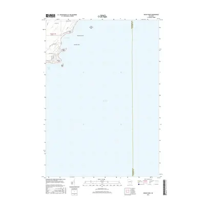 2016 Indian Point2016 Print · USGSThe western shores of Lake Winnebago are captured in the mid-2010s, showing the residential and nautical character of the Winnebago County coastline. Boaters and local historians can trace landmarks like Indian Point, Blackbird Island, and the shoreline along Cowling Bay.
 - 2016 Map of Oshkosh, 2016 Print
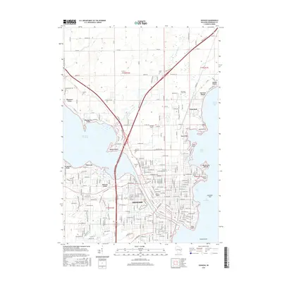 2016 Oshkosh2016 Print · USGSThe city of Oshkosh and its lakefront surroundings are shown in the mid-2010s as a thriving hub between Lake Butte des Morts and Lake Winnebago. Researchers can trace local history through the many burial grounds like Riverside Cem and landmarks such as the University of Wisconsin - Oshkosh.
 - 2018 Map of Indian Point, 2018 Print
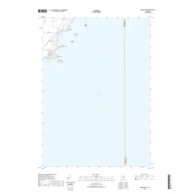 2018 Indian Point2018 Print · USGSThe western shores of Lake Winnebago near Oshkosh are captured in the late 2010s, showing a landscape defined by coastal points and modern residential roads. Trace the shoreline from Jenkyns Point down to Island Park to explore the local geography of this major Wisconsin waterway.
 - 2018 Map of Omro, 2018 Print
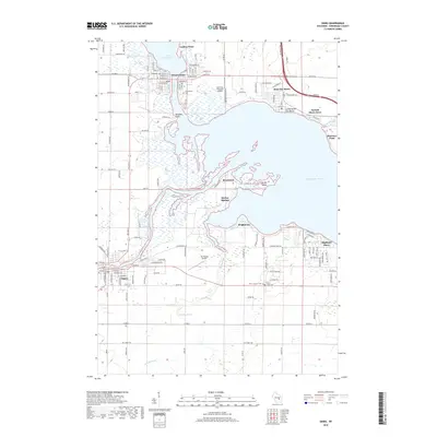 2018 Omro2018 Print · USGSWinnebago County’s riverfront communities are detailed in the late 2010s, showcasing the intricate waterways between Omro and Winneconne. Researchers can trace local landmarks like Terrell Island, the Omro Union Cem, and the specialized Sky Diving Airport.
 - 2018 Map of Oshkosh, 2018 Print
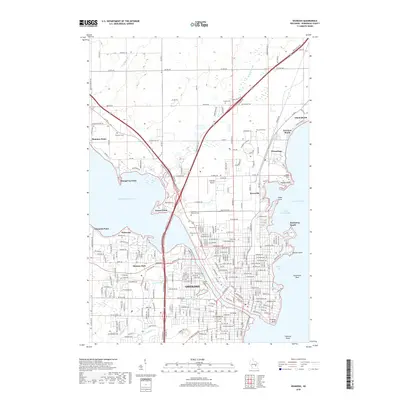 2018 Oshkosh2018 Print · USGSThe city of Oshkosh and its lakefront suburbs are shown in detail as they appeared in the late 2010s. Researchers can locate numerous historic burial sites such as Riverside Cem and State Hospital Cem, or trace the residential development of Shangri La Point and Keenville.
 - 2022 Map of Indian Point, 2022 Print
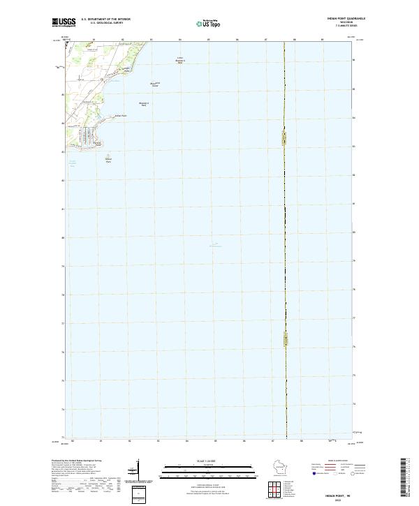 2022 Indian Point2022 Print · USGSThe Winnebago County shoreline comes into sharp focus in this recent survey of the points and bays north of Oshkosh. Researchers can trace landforms and local access roads like Paines Point Road, Jenkyns Point, and the residential layout around Perkins Point.
 - 2022 Map of Oshkosh, 2022 Print
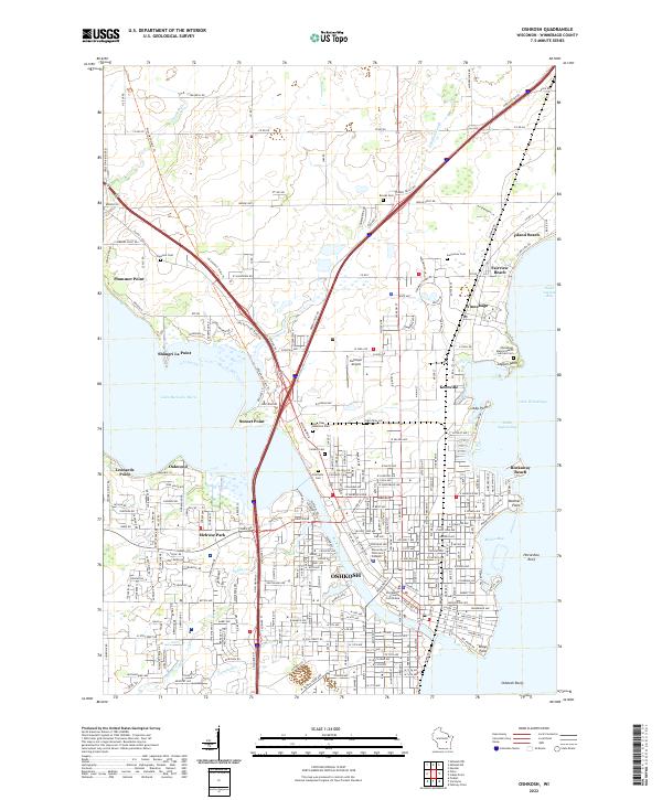 2022 Oshkosh2022 Print · USGSOshkosh and its neighboring Lake Winnebago shorelines are captured in the 2020s, showcasing the area's modern university and institutional layout. Researchers can trace local landmarks like Riverside Cem, the Winnebago County Courthouse, and the expansive University of Wisconsin-Oshkosh campus.
 - 2022 Map of Omro, 2022 Print
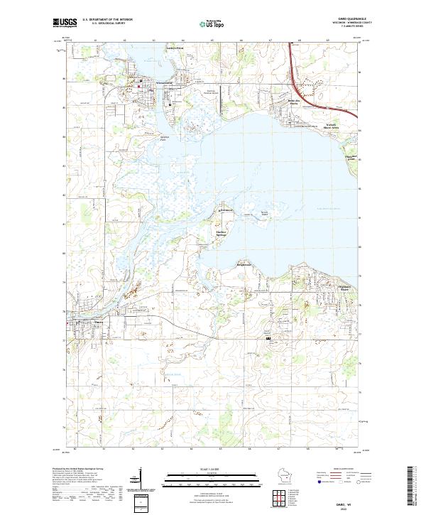 2022 Omro2022 Print · USGSThe river-linked communities of Winnebago County are captured here in the early 2020s as they surround the expansive waters of Lake Butte des Morts. Genealogists and local researchers can locate established sites like Omro Junction Cem, the Courtney Plummer Airport, and the historic waterfronts of Winneconne and Butte des Morts.
End of results
Showing maps 1-25 of 25
Top cities near Oshkosh
- Appleton historical maps
- Oshkosh historical maps
- Neenah historical maps
- Grand Chute historical maps
- Fox Crossing historical maps
- Menasha historical maps
See more
Top neighborhoods of Oshkosh
- Plummer Point historical maps
- Fairview Beach historical maps
- Island Beach historical maps
- Shangri La Point historical maps
- Sunset Point historical maps
- Winnebago historical maps
See more
Frequently asked questions
- What are the different types of historical maps available for Oshkosh?
- What is the oldest map of Oshkosh?
- Where can I purchase historical maps of Oshkosh for my home or office?
- Where can I download high-res historical maps of Oshkosh?
- Are there historical topographic maps available for Oshkosh?
- Is there historical aerial imagery available for Oshkosh?
- Where are historical maps of Oshkosh sourced from?