2000s (21st Century) Maps of Auburndale, Wisconsin
Explore 20 historic maps of Auburndale from the 2000s (21st Century). These maps offer a rare glimpse into what life looked like during the 2000s — showing old roads, neighborhoods, homes, and landmarks that have changed or disappeared over time.
Whether you're researching your family's past, planning a metal detecting trip, or studying how Auburndale's landscape evolved across the 2000s, these high-resolution maps are a powerful tool for exploring the history of this region.
- Focus on a specific era: All maps on this page are from the 2000s, giving you a focused view of this time period.
- See what’s changed: Compare century-old streets, trails, and buildings to today's modern landscape using overlays and satellite layers.
- Research with precision: Use these maps for genealogy, historical research, land use analysis, or educational projects.
- View, download, or print: Maps are fully viewable online in high resolution, and can be downloaded or printed for your own records.
Start exploring Auburndale's history through authentic maps from the 2000s. This is your window into the past.
Auburndale, WI maps
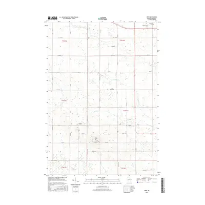
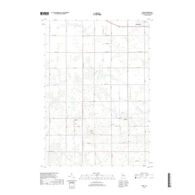
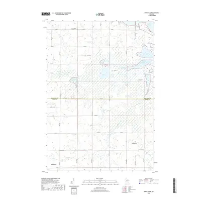
(20)- 2010 Map of Arpin, 2010 Print
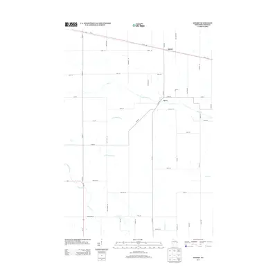
 2010 Arpin2010 Print · USGSCovers Auburndale, including Arpin, Wood, and other nearby areas
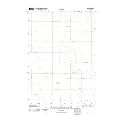
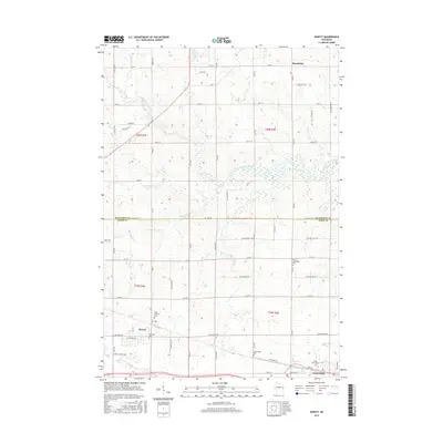
 - 2010 Map of Sherry, 2010 Print
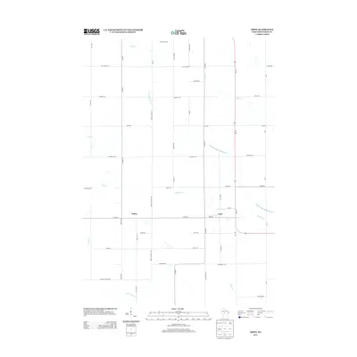
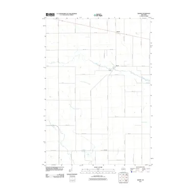 2010 Sherry2010 Print · USGSCovers Auburndale, including Sherry, Milladore, and other nearby areas
 - 2010 Map of Honey Island, 2010 Print
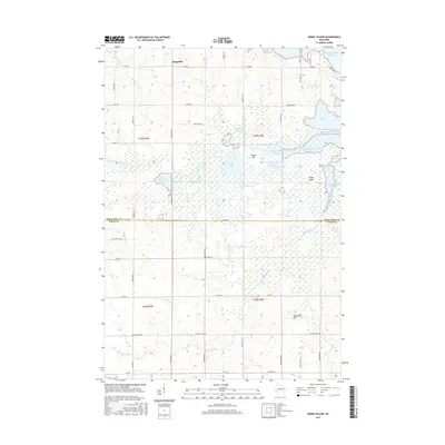
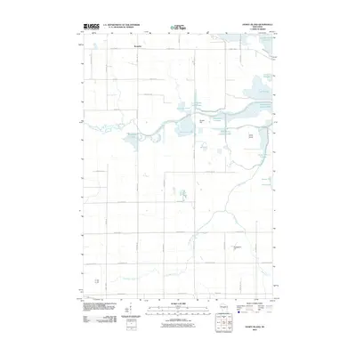 2010 Honey Island2010 Print · USGSCovers Auburndale, including Milladore, Day, and other nearby areas
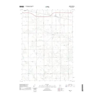
 - 2010 Map of Hewitt, 2010 Print
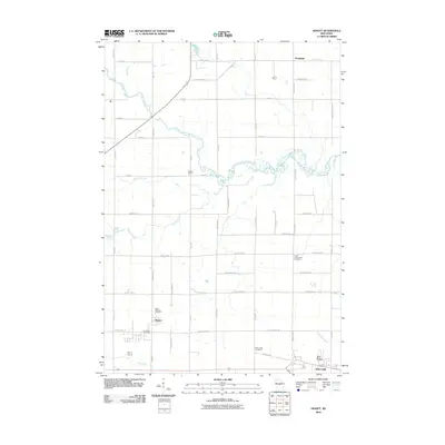 2010 Hewitt2010 Print · USGSCovers Auburndale, including Marshfield, McMillan, and other nearby areas
 - 2013 Map of Honey Island, 2013 Print
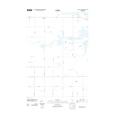 2013 Honey Island2013 Print · USGSCovers Auburndale, including Milladore, Day, and other nearby areas
 - 2013 Map of Hewitt, 2013 Print
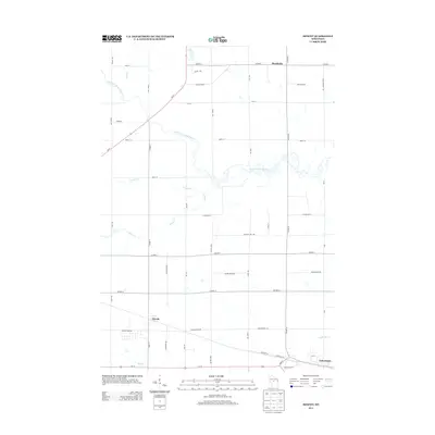 2013 Hewitt2013 Print · USGSCovers Auburndale, including Marshfield, McMillan, and other nearby areas
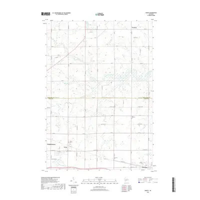
 - 2013 Map of Arpin, 2013 Print
 2013 Arpin2013 Print · USGSCovers Auburndale, including Arpin, Wood, and other nearby areas
 - 2013 Map of Sherry, 2013 Print
 2013 Sherry2013 Print · USGSCovers Auburndale, including Sherry, Milladore, and other nearby areas
 - 2015 Map of Honey Island, 2015 Print
 2015 Honey Island2015 Print · USGSCovers Auburndale, including Milladore, Day, and other nearby areas
 - 2015 Map of Sherry, 2015 Print
 2015 Sherry2015 Print · USGSCovers Auburndale, including Sherry, Milladore, and other nearby areas
 - 2015 Map of Arpin, 2015 Print
 2015 Arpin2015 Print · USGSCovers Auburndale, including Arpin, Wood, and other nearby areas
 - 2015 Map of Hewitt, 2015 Print
 2015 Hewitt2015 Print · USGSCovers Auburndale, including Marshfield, McMillan, and other nearby areas
 - 2018 Map of Arpin, 2018 Print
 2018 Arpin2018 Print · USGSCovers Auburndale, including Arpin, Wood, and other nearby areas
 - 2018 Map of Honey Island, 2018 Print
 2018 Honey Island2018 Print · USGSCovers Auburndale, including Milladore, Day, and other nearby areas
 - 2018 Map of Hewitt, 2018 Print
 2018 Hewitt2018 Print · USGSCovers Auburndale, including Marshfield, McMillan, and other nearby areas
 - 2018 Map of Sherry, 2018 Print
 2018 Sherry2018 Print · USGSCovers Auburndale, including Sherry, Milladore, and other nearby areas
 - 2022 Map of Sherry, 2022 Print
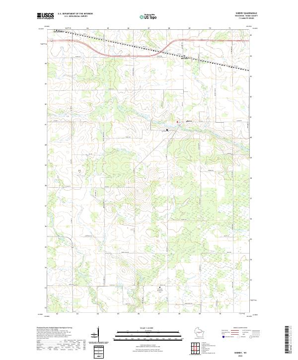 2022 Sherry2022 Print · USGSWood County’s dairy and timber roots are visible in this modern survey of the central Wisconsin landscape. Genealogists and local historians can trace family plots near Fairview Cem and follow the rural roads connecting Blenker and Sherry.
 - 2022 Map of Arpin, 2022 Print
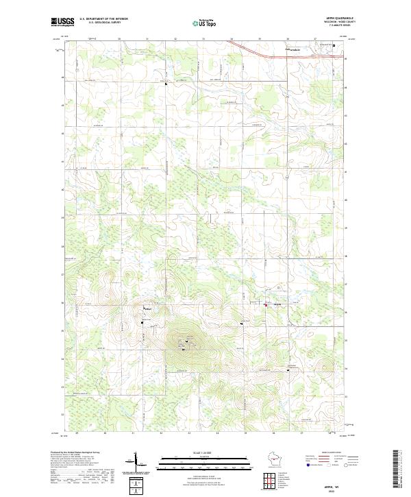 2022 Arpin2022 Print · USGSWood County’s agricultural and spiritual heart is on display in this contemporary survey of the Arpin and Bethel area. Genealogists can trace numerous historic burial sites, including Indian Bill Cem, Slidre Cem, and Bethel Cem.
 - 2022 Map of Honey Island, 2022 Print
 2022 Honey Island2022 Print · USGSThe borderlands of Marathon and Wood Counties are defined by a complex network of flowages and managed wetlands in the early twenty-first century. Genealogists and local historians can trace the landscape around Auburndale, the Soapstone Pit, and the namesake Honey Island.
 - 2023 Map of Hewitt, 2023 Print
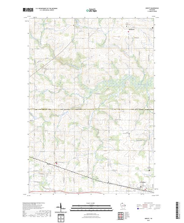 2023 Hewitt2023 Print · USGSThe borderlands of Marathon and Wood Counties come alive in this recent survey of central Wisconsin dairy country. Family historians can trace the exact locations of many local burial grounds, such as Saint Andrew's Cem and Pioneers of Saint Mary's Cem.
End of results
Showing maps 1-20 of 20
Top cities near Auburndale
- Marshfield historical maps
- Wisconsin Rapids historical maps
- McMillan historical maps
- Stratford historical maps
- Pittsville historical maps
- Biron historical maps
See more
Frequently asked questions
- What are the different types of historical maps available for Auburndale?
- What is the oldest map of Auburndale?
- Where can I purchase historical maps of Auburndale for my home or office?
- Where can I download high-res historical maps of Auburndale?
- Are there historical topographic maps available for Auburndale?
- Is there historical aerial imagery available for Auburndale?
- Where are historical maps of Auburndale sourced from?