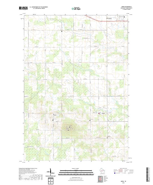
2022 Map of Arpin
USGS Topo · Published 2022About this map
Arpin and the nearby community of Bethel anchor this portion of Wood County, where the landscape is defined by the dendritic drainage of the N Fork Hemlock Cr and Hemlock Cr. The settlement pattern reflects a deeply rooted rural community, evidenced by the high concentration of small, family, or denominational burial grounds. These include the uniquely named John Na Wee Cem and Indian Bill Cem located south of Bethel, alongside larger sites like Arpin Cem and the Emmanuel Lutheran Cem. To the north, the village of Auburndale sits near Mill Cr, marking a transition toward different water systems. The map illustrates a grid-heavy road network following township and range lines, such as Arpin Richfield Rd and Richfield Dr, which connect the scattered agricultural holdings and small creek crossings that have sustained this region for generations.
Find a feature on this map
61 named features on this map. Tap any name to fly to it.
Don’t see what you’re looking for? This feature index may not catch every label — zoom into the map to look around manually.
Map Details
Editions of this 2022 Arpin Map
This is the sole edition of this map. No revisions or reprints were ever made.
Other maps of this area

1953 · Eau Claire
USGS Topo · 1:250,000

1954 · Marshfield
USGS Topo · 1:62,500

1955 · Green Bay
USGS Topo · 1:250,000

1956 · Milladore
USGS Topo · 1:48,000

1957 · Wisconsin Rapids
USGS Topo · 1:48,000

1957 · Pittsville
USGS Topo · 1:48,000

1958 · Eau Claire
USGS Topo · 1:250,000

1964 · Eau Claire
USGS Topo · 1:250,000

1967 · Wisconsin Rapids
USGS Topo · 1:62,500

1967 · Pittsville
USGS Topo · 1:62,500