Old Maps of Grand Rapids, Wisconsin for Genealogy
Trace your family roots with 29 historic maps of Grand Rapids. These high-res maps reveal old neighborhoods, homesites, landmarks, and streets — helping you uncover where your ancestors lived and how the area evolved over time.
- Explore historic neighborhoods: Identify where your relatives may have lived in the 1800s or 1900s.
- Compare maps over time: Trace the changes in streets, buildings, and landmarks for multi-generational research.
- Perfect for genealogy & ancestry research: Used by family historians and researchers to map out lineage and migration.
These maps are an incredible resource for exploring your personal connection to Grand Rapids's past.
Grand Rapids, WI maps
(29)- 1955 Map of Green Bay, 1968 Print
 1955 Green Bay1968 Print · USGSCentral and Eastern Wisconsin are captured here in the mid-fifties, showing the industrial growth of the Fox Valley and Wisconsin River corridors. Genealogists and historians can trace rail lines like the Green Bay and Western through settlements like Weyauwega, Clintonville, and Pulaski.2 unique versions available
 - 1957 Map of Wisconsin Rapids, 1959 Print
 1957 Wisconsin Rapids1959 Print · USGSThe mid-century paper-milling and cranberry-farming corridor along the Wisconsin River is shown here in detail during a period of steady growth. Researchers can trace the development of Wisconsin Rapids, the extensive Cranberry Bogs, and rural landmarks like St Johns Ch and Nepco Lake.
 - 1957 Map of Whiting, 1959 Print
 1957 Whiting1959 Print · USGSCentral Wisconsin is captured here in the late fifties, showcasing the river-and-rail corridor connecting Whiting and Bancroft. Researchers can trace old rural schoolhouses like Pearl Sch and cemeteries such as McDill Cem across the Portage County landscape.
 - 1967 Map of Wisconsin Rapids, 1969 Print
 1967 Wisconsin Rapids1969 Print · USGSThe industrial riverfronts of Wood County and the extensive cranberry marshlands of the central sands are captured in this mid-century survey. Researchers can trace family roots through numerous rural landmarks like St John Ch, Trinity Cem, and the community at Eight Corners.2 unique versions available
 - 1970 Map of Kellner, 1972 Print
 1970 Kellner1972 Print · USGSThe rural border of Wood and Portage Counties was a landscape of managed waterways and rail lines in the 1970s. Genealogists and local historians can trace the community around Kellner, finding landmarks like St Johns Cem, Grant Sch, and the Church of God.
 - 1970 Map of Meehan, 1972 Print
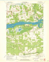 1970 Meehan1972 Print · USGSPortage County at the start of the seventies reveals a landscape defined by the expansive Wisconsin River Flowage and specialized agriculture. Researchers can locate the settlement of Meehan, the Linwood Union Cem, and regional landmarks like the Cranberry Bog.2 unique versions available
 - 1984 Map of Wisconsin Rapids North
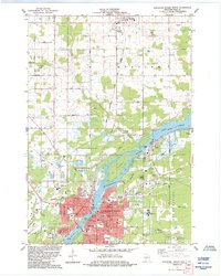 1984 Wisconsin Rapids North1984 Print · USGSWisconsin Rapids and the village of Biron are seen here in the mid-1980s as the river-driven industry of Wood County continued to shape the landscape. Researchers can trace local heritage at St Philomena Cem, the Cranberry Bogs, and the Soo Line rail corridors.
 - 1984 Map of Wisconsin Rapids South
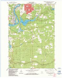 1984 Wisconsin Rapids South1984 Print · USGSThe Wisconsin River corridor south of Wisconsin Rapids shows a landscape of steady industrial growth and recreational development in the 1980s. Trace local landmarks like the Drive-in Theater, Pioneer Cem, and the rail lines of the Chicago Milwaukee St Paul and Pacific.
 - 1985 Map of Wisconsin Rapids
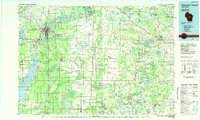 1985 Wisconsin Rapids1985 Print · USGSCentral Wisconsin in the mid-eighties shows a landscape of engineered waterways and active rail corridors between Wisconsin Rapids and Waupaca. Genealogists and researchers can trace local landmarks like Roche A Cri State Park, the SOO LINE, and small settlements like Coddington or Rudolph.2 unique versions available
 - 2010 Map of Wisconsin Rapids South, 2010 Print
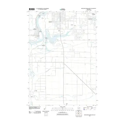 2010 Wisconsin Rapids South2010 Print · USGSThe industrial corridor of the Wisconsin River meets the quiet woods of Wood County in this 2010 survey of south-central Wisconsin. Researchers can trace local infrastructure and lineage through sites like the Port Edwards 1874C276 Dam, Pioneer Cemetery, and Nepco Lake.
 - 2010 Map of Kellner, 2010 Print
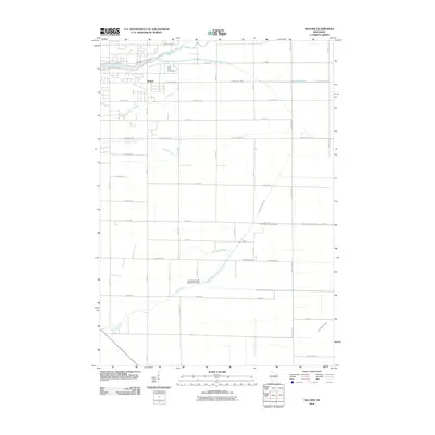 2010 Kellner2010 Print · USGSKellner and the surrounding Wood County countryside are captured here in the early twenty-first century as a landscape of structured drainage and small-town roots. Local researchers can trace the reaches of Tenmile Creek or find Saint Johns Cemetery and the Portage County Number 35 Dam.
 - 2010 Map of Wisconsin Rapids North, 2010 Print
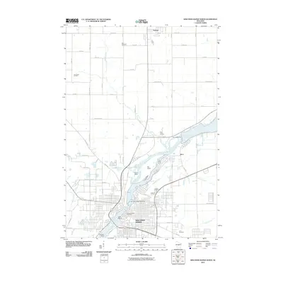 2010 Wisconsin Rapids North2010 Print · USGSWisconsin Rapids and Biron are shown during a period of established riverfront development along the Wisconsin River. Genealogists and researchers can trace local landmarks like Forest Hill Cemetery, the Wisconsin Rapids Post Office, and the grounds of Camp Sacajawea.
 - 2010 Map of Meehan, 2010 Print
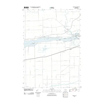 2010 Meehan2010 Print · USGSWisconsin's Wood County riverfront comes into focus during the early 2000s, centered on the Wisconsin River and the small community of Meehan. Researchers can trace local heritage through the Linwood Union Cemetery and explore the waterways of Twomile Creek and Rocky Run.
 - 2013 Map of Meehan, 2013 Print
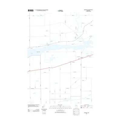 2013 Meehan2013 Print · USGSThe Wood County countryside near Meehan appears here in the early twenty-first century, centered on the waters of the Biron Flowage. Researchers can trace the local drainage systems of Mill Creek and Rocky Run or locate specific homesteads along Plover Rd.
 - 2013 Map of Wisconsin Rapids South, 2013 Print
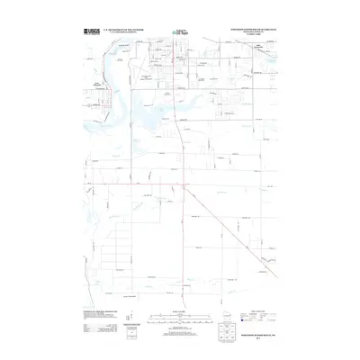 2013 Wisconsin Rapids South2013 Print · USGSThe Wisconsin River valley south of Wisconsin Rapids is shown here in the early twenty-first century, balancing aviation and conservation. Genealogists and local historians can locate Port Edwards, the Griffith State Nursery, and family-named landmarks like Edwards Island and Jennie's Field Airport.
 - 2013 Map of Wisconsin Rapids North, 2013 Print
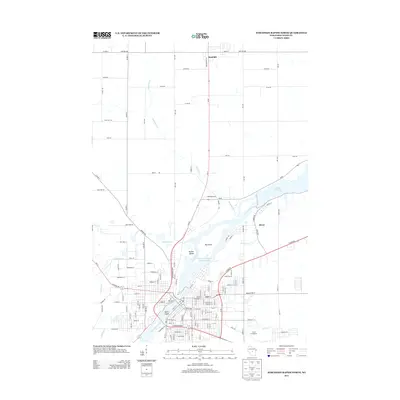 2013 Wisconsin Rapids North2013 Print · USGSThe Wisconsin River corridor north of Wisconsin Rapids is captured here in the early twenty-first century, showing a landscape shaped by massive flowages and river islands. Genealogists and locals can trace the outskirts of Rudolph and Biron, or locate landmarks like Camp Sacajawea and Belle Island.
 - 2013 Map of Kellner, 2013 Print
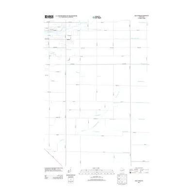 2013 Kellner2013 Print · USGSThe community of Kellner is captured here during the early twenty-first century, showing a landscape defined by an extensive drainage network. Researchers can trace the paths of Ditch Number Three, Sevenmile Cr, and the waters of Wazeecha Lake 100.
 - 2015 Map of Wisconsin Rapids South, 2015 Print
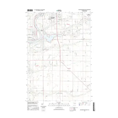 2015 Wisconsin Rapids South2015 Print · USGSThe Wisconsin River valley south of Wisconsin Rapids comes into focus during this mid-2010s survey. Genealogists and local historians can locate early burial sites like Green Hill Cem and trace the shoreline of Nepco Lake and Port Edwards.
 - 2015 Map of Kellner, 2015 Print
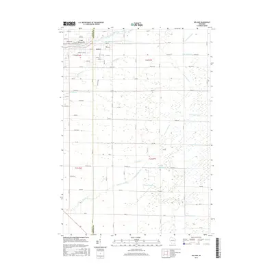 2015 Kellner2015 Print · USGSThe Wood and Portage County line near Kellner was defined by intensive water management in the early twenty-first century. Researchers can trace the legacy of drainage across the landscape via Ditch Number Three and find local landmarks like Saint Johns Cem and Lake Wazeecha.
 - 2015 Map of Wisconsin Rapids North, 2015 Print
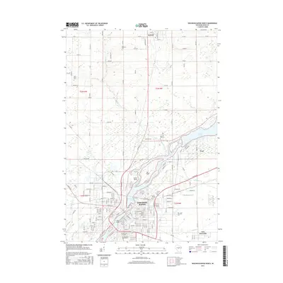 2015 Wisconsin Rapids North2015 Print · USGSWisconsin Rapids and the village of Rudolph appear here in the early twenty-first century, anchored by the wide path of the Wisconsin River. Researchers can locate several burial grounds including Saint Philomena Cem and Forest Hill Cem, or trace the development around Biron Flowage.
 - 2015 Map of Meehan, 2015 Print
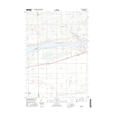 2015 Meehan2015 Print · USGSThe Wisconsin River shoreline near the Wood and Portage county line is captured here in the mid-2010s. Researchers can trace local lineage at the Linwood Union Cem or explore the hydrologic layout of the Biron Flowage and Bear Creek Marsh.
 - 2018 Map of Wisconsin Rapids South, 2018 Print
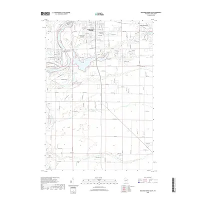 2018 Wisconsin Rapids South2018 Print · USGSWisconsin Rapids and Port Edwards are shown in this 2018 survey as they flank the Wisconsin River. Genealogists and local historians can trace family locations near Pioneer Cem or follow the paths of Sevenmile Cr and Tenmile Cr.
 - 2018 Map of Kellner, 2018 Print
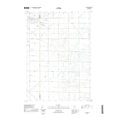 2018 Kellner2018 Print · USGSThe community of Kellner straddles the county line in this 2018 survey, showing a landscape shaped by water management and rural development. Genealogists and hikers can locate Saint Johns Cem or trace the paths of Bloody Run and Sevenmile Cr.
 - 2018 Map of Meehan, 2018 Print
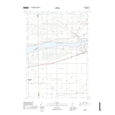 2018 Meehan2018 Print · USGSBiron and the surrounding Wood County wetlands are captured here as they appeared in the late 2010s. Genealogists and local historians can trace the rural road networks leading to Union Cem and the riverfront settlements of Biron and Meehan.
 - 2018 Map of Wisconsin Rapids North, 2018 Print
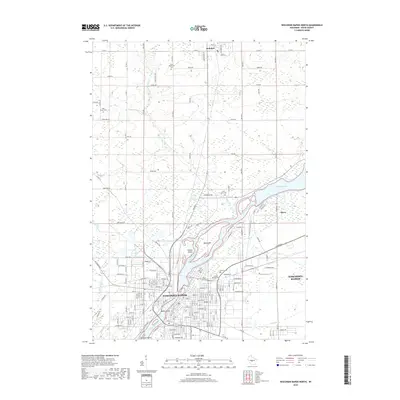 2018 Wisconsin Rapids North2018 Print · USGSWisconsin Rapids and the village of Biron appear here during the late 2010s, showing the developed riverfront and surrounding Wood County townships. Genealogists can locate several local cemeteries including Forest Hill Cem and Saint Johns Cem, alongside landmarks like Big Island in the Wisconsin River.
Showing maps 1-25 of 29
Top cities near Grand Rapids
- Stevens Point historical maps
- Wisconsin Rapids historical maps
- Plover historical maps
- Nekoosa historical maps
- Port Edwards historical maps
- Whiting historical maps
See more
Top neighborhoods of Grand Rapids
Frequently asked questions
- What are the different types of historical maps available for Grand Rapids?
- What is the oldest map of Grand Rapids?
- Where can I purchase historical maps of Grand Rapids for my home or office?
- Where can I download high-res historical maps of Grand Rapids?
- Are there historical topographic maps available for Grand Rapids?
- Is there historical aerial imagery available for Grand Rapids?
- Where are historical maps of Grand Rapids sourced from?