2000s (21st Century) Maps of Saratoga, Wisconsin
Explore 30 historic maps of Saratoga from the 2000s (21st Century). These maps offer a rare glimpse into what life looked like during the 2000s — showing old roads, neighborhoods, homes, and landmarks that have changed or disappeared over time.
Whether you're researching your family's past, planning a metal detecting trip, or studying how Saratoga's landscape evolved across the 2000s, these high-resolution maps are a powerful tool for exploring the history of this region.
- Focus on a specific era: All maps on this page are from the 2000s, giving you a focused view of this time period.
- See what’s changed: Compare century-old streets, trails, and buildings to today's modern landscape using overlays and satellite layers.
- Research with precision: Use these maps for genealogy, historical research, land use analysis, or educational projects.
- View, download, or print: Maps are fully viewable online in high resolution, and can be downloaded or printed for your own records.
Start exploring Saratoga's history through authentic maps from the 2000s. This is your window into the past.
Saratoga, WI maps
(30)- 2010 Map of Wisconsin Rapids South, 2010 Print
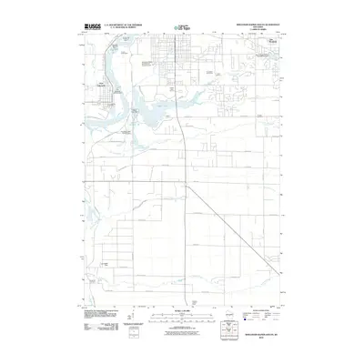 2010 Wisconsin Rapids South2010 Print · USGSThe industrial corridor of the Wisconsin River meets the quiet woods of Wood County in this 2010 survey of south-central Wisconsin. Researchers can trace local infrastructure and lineage through sites like the Port Edwards 1874C276 Dam, Pioneer Cemetery, and Nepco Lake.
 - 2010 Map of Arkdale NE, 2010 Print
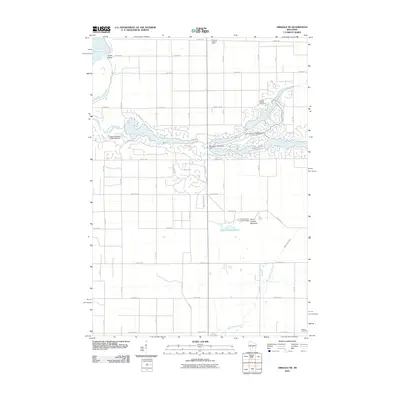 2010 Arkdale NE2010 Print · USGSBig Flats and the surrounding Adams County countryside appear in this 2010 survey as a landscape of managed waterways and rural roads. Researchers can trace family history at Spring Branch Cemetery or locate landmarks like the Dorro Couche Lookout Tower.
 - 2010 Map of Coloma NW, 2010 Print
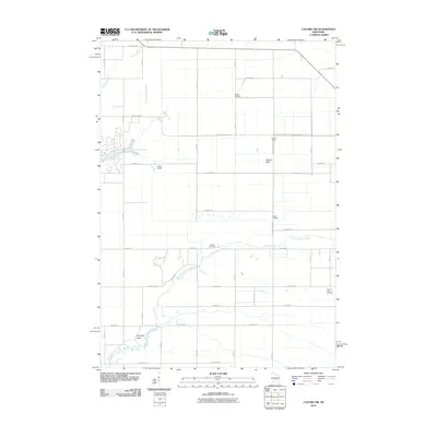 2010 Coloma NW2010 Print · USGSBig Flats and the Leola area are shown here during a period of modern land and water management. You can trace the network of drainage controls like Leola 15 Dam, find family history at Holliday Cemetery, or locate landmarks like Keystone Rock.
 - 2010 Map of Kellner, 2010 Print
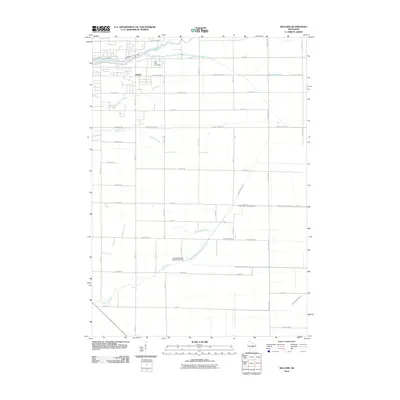 2010 Kellner2010 Print · USGSKellner and the surrounding Wood County countryside are captured here in the early twenty-first century as a landscape of structured drainage and small-town roots. Local researchers can trace the reaches of Tenmile Creek or find Saint Johns Cemetery and the Portage County Number 35 Dam.
 - 2010 Map of Nekoosa, 2010 Print
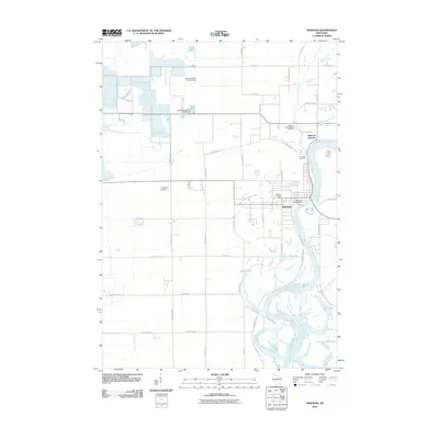 2010 Nekoosa2010 Print · USGSNekoosa and the Wisconsin River valley are captured here in the early twenty-first century, documenting a landscape shaped by water and industry. Researchers can trace the layout of Nekoosa Junction, locate Riverside Cemetery, and see the network of dams like the Nekoosa WP348 Dam.
 - 2010 Map of Arkdale NW, 2010 Print
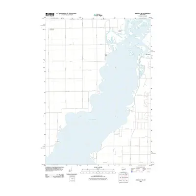 2010 Arkdale NW2010 Print · USGSThe eastern shores of Petenwell Lake are captured here during the first decade of the 2000s. Genealogists and local historians can locate New Rome and Greenwood Cemetery, or trace the winding path of Fourteenmile Creek.
 - 2013 Map of Wisconsin Rapids South, 2013 Print
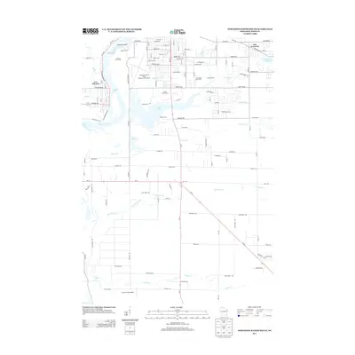 2013 Wisconsin Rapids South2013 Print · USGSThe Wisconsin River valley south of Wisconsin Rapids is shown here in the early twenty-first century, balancing aviation and conservation. Genealogists and local historians can locate Port Edwards, the Griffith State Nursery, and family-named landmarks like Edwards Island and Jennie's Field Airport.
 - 2013 Map of Coloma NW, 2013 Print
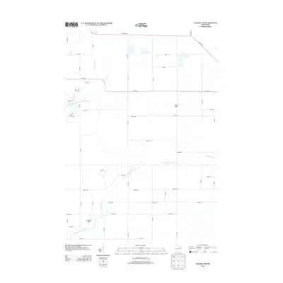 2013 Coloma NW2013 Print · USGSAdams County in the early twenty-first century is defined by its sand-country hydrology and geologic landmarks. Genealogists and hikers can trace the paths of Fourteenmile Creek and Big Roche a Cri Creek or locate landmarks like Owens Rock and Keystone Rock.
 - 2013 Map of Arkdale NW, 2013 Print
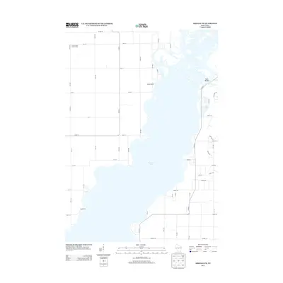 2013 Arkdale NW2013 Print · USGSThe sprawling waters of Petenwell Lake define this Adams County landscape as it appeared in the early 2010s. Trace the development of New Rome and identify regional landmarks like the Cranberry Rock Lookout Tower and Yellow Banks.
 - 2013 Map of Arkdale NE, 2013 Print
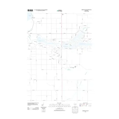 2013 Arkdale NE2013 Print · USGSBig Flats and the surrounding Adams County lakelands are seen here in the early twenty-first century as recreation-based residential growth reshapes the landscape. Map collectors and researchers can trace the intricate developments around Lake Arrowhead and locate landmarks like the Dorro Couche Lookout Tower.
 - 2013 Map of Kellner, 2013 Print
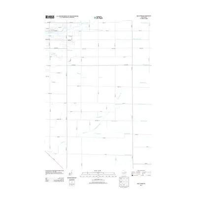 2013 Kellner2013 Print · USGSThe community of Kellner is captured here during the early twenty-first century, showing a landscape defined by an extensive drainage network. Researchers can trace the paths of Ditch Number Three, Sevenmile Cr, and the waters of Wazeecha Lake 100.
 - 2013 Map of Nekoosa, 2013 Print
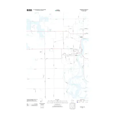 2013 Nekoosa2013 Print · USGSNekoosa and Wood County are shown here in the early 2010s as the community thrives along the banks of the Wisconsin River. Genealogists and local historians can trace the town's street plan and outlying landmarks like Cranmoor Airstrip and Nekoosa Junction.
 - 2015 Map of Arkdale NE, 2015 Print
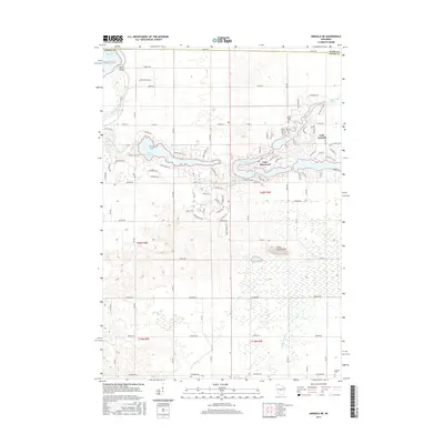 2015 Arkdale NE2015 Print · USGSAdams County’s northern lakes region is shown here in the mid-2010s, capturing the residential growth around a central chain of reservoirs. Genealogists and local historians can locate Spring Branch Cem, Niebull Cem, and the high ground of Dorra Cooshe Mtn.
 - 2015 Map of Coloma NW, 2015 Print
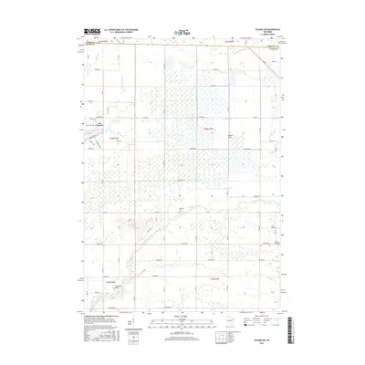 2015 Coloma NW2015 Print · USGSAdams County in the mid-2010s reveals a landscape defined by controlled waters and rural crossroads. Researchers can trace the path of Big Roche a Cri Cr, locate the Holliday Cem, and explore landmarks like Owens Rock or Lake Camelot.
 - 2015 Map of Arkdale NW, 2015 Print
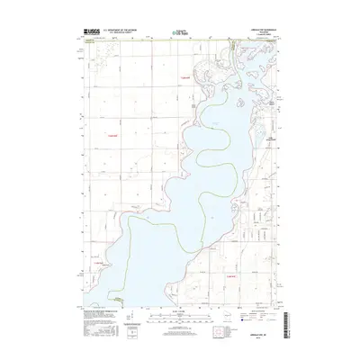 2015 Arkdale NW2015 Print · USGSAlong the shores of Petenwell Lake in the mid-2010s, this map reveals a landscape defined by the Wisconsin River and growing lakeside communities. Trace residential developments around New Rome and Lake Arrowhead or locate local landmarks like Greenwood Cem.
 - 2015 Map of Wisconsin Rapids South, 2015 Print
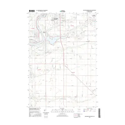 2015 Wisconsin Rapids South2015 Print · USGSThe Wisconsin River valley south of Wisconsin Rapids comes into focus during this mid-2010s survey. Genealogists and local historians can locate early burial sites like Green Hill Cem and trace the shoreline of Nepco Lake and Port Edwards.
 - 2015 Map of Kellner, 2015 Print
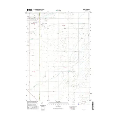 2015 Kellner2015 Print · USGSThe Wood and Portage County line near Kellner was defined by intensive water management in the early twenty-first century. Researchers can trace the legacy of drainage across the landscape via Ditch Number Three and find local landmarks like Saint Johns Cem and Lake Wazeecha.
 - 2015 Map of Nekoosa, 2015 Print
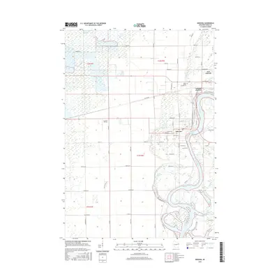 2015 Nekoosa2015 Print · USGSThe riverfront communities of Wood County thrive along the Wisconsin River during this mid-decade survey. Genealogists and local historians can trace property lines near Port Edwards, locate the Riverside Cemetery, and study the rail connections at Nekoosa Junction.
 - 2018 Map of Arkdale NW, 2018 Print
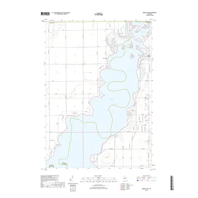 2018 Arkdale NW2018 Print · USGSPetenwell Lake and the Wisconsin River define this central Wisconsin shoreline during the late 2010s. Researchers can trace local landmarks like Greenwood Cem, the settlement of New Rome, and the geography of Barnum Bay.
 - 2018 Map of Nekoosa, 2018 Print
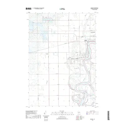 2018 Nekoosa2018 Print · USGSNekoosa and Port Edwards sit along the oxbows of the Wisconsin River in the late 2010s. Local researchers can trace family plots at Port Edwards Cem or explore the specialized landscape of the western wetlands near Cranmoor Airstrip.
 - 2018 Map of Coloma NW, 2018 Print
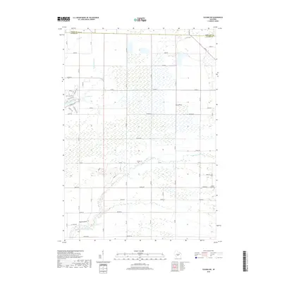 2018 Coloma NW2018 Print · USGSThe rural borders of Adams and Wood Counties are captured in this recent survey of Wisconsin's wetlands and waterways. You can locate family history at Holliday Cem or Coloma-Leola Cem, and trace landmarks like Owens Rock or the Quarry.
 - 2018 Map of Wisconsin Rapids South, 2018 Print
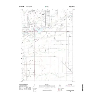 2018 Wisconsin Rapids South2018 Print · USGSWisconsin Rapids and Port Edwards are shown in this 2018 survey as they flank the Wisconsin River. Genealogists and local historians can trace family locations near Pioneer Cem or follow the paths of Sevenmile Cr and Tenmile Cr.
 - 2018 Map of Kellner, 2018 Print
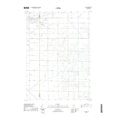 2018 Kellner2018 Print · USGSThe community of Kellner straddles the county line in this 2018 survey, showing a landscape shaped by water management and rural development. Genealogists and hikers can locate Saint Johns Cem or trace the paths of Bloody Run and Sevenmile Cr.
 - 2018 Map of Arkdale NE, 2018 Print
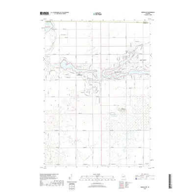 2018 Arkdale NE2018 Print · USGSAdams County lake country comes into sharp focus during this era of residential and recreational development. Genealogists and local historians can trace the lakeside growth around Lake Arrowhead, find the Niebull Cem, and locate landmarks like Dorra Cooshe Mtn.
 - 2022 Map of Coloma NW, 2022 Print
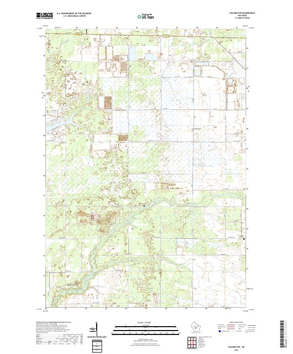 2022 Coloma NW2022 Print · USGSThe borderlands of Adams, Wood, and Portage counties come into focus in this recent survey of the central Wisconsin plains. Family historians can locate Holiday Cem and Coloma-Leola Cem or trace landmarks like Owens Rock and Big Roche-a-Cri Cr.
Showing maps 1-25 of 30
Top cities near Saratoga
- Stevens Point historical maps
- Wisconsin Rapids historical maps
- Plover historical maps
- Nekoosa historical maps
- Port Edwards historical maps
- Strongs Prairie historical maps
See more
Top neighborhoods of Saratoga
- Beach Bay at NEPCO Lake historical maps
- Point Cove at NEPCO Lake historical maps
- South Shore at NEPCO Lake historical maps
Frequently asked questions
- What are the different types of historical maps available for Saratoga?
- What is the oldest map of Saratoga?
- Where can I purchase historical maps of Saratoga for my home or office?
- Where can I download high-res historical maps of Saratoga?
- Are there historical topographic maps available for Saratoga?
- Is there historical aerial imagery available for Saratoga?
- Where are historical maps of Saratoga sourced from?