Old Maps of Mountain Home, Wyoming for Academic Research
Study the evolution of Mountain Home with 14 high-resolution historic maps. Whether you're teaching, researching, or modeling changes in land use, these maps provide essential visual documentation of urban, environmental, and geographic change.
- Analyze long-term change: Track patterns in development, transportation, and natural features.
- Ideal for environmental or urban studies: Support academic projects with primary historical map data.
- Use in the classroom or lab: Educators and researchers rely on these maps to bring historical context to life.
These maps are a powerful tool for teaching, research, and visualizing how Mountain Home has changed over the decades.
Mountain Home, WY maps
(14)- 1906 Map of Medicine Bow, 1955 Print
 1906 Medicine Bow1955 Print · USGSThe Medicine Bow Range at the dawn of the twentieth century shows a high-country economy driven by mining, timber, and ranching. Researchers can trace early infrastructure like the Laramie Hahns Peak and Pacific RR or locate family sites such as the Beckwith Ranch and Lenhardys Cabin.
 - 1908 Map of Medicine Bow
 1908 Medicine Bow1908 Print · USGSThe Medicine Bow Range at the dawn of the twentieth century shows a landscape of mountain ranches and early mining. Trace family-named landmarks like Logan-Grisley Ranch and industrial sites like Webbers Sawmill or the White Swan Mine.3 unique versions available
 - 1954 Map of Rawlins, 1968 Print
 1954 Rawlins1968 Print · USGSThe high plains and mountain ranges of southern Wyoming are shown here in the mid-1950s as the Union Pacific railroad and early highways fueled local industry. Genealogists and historians can trace old homesteads and outposts like the Overland Stage Station, the Utah Oil Refining Station, and the Hadsell Winter Headquarters.2 unique versions available
 - 1958 Map of Rawlins
 1958 Rawlins1958 Print · USGSSouthern Wyoming at the mid-century shows a landscape defined by the Union Pacific Railroad and the high basins of the Continental Divide. Researchers can trace old transportation routes near Fort Fred Steele or explore the mining history around Hanna and Medicine Bow.2 unique versions available
 - 1961 Map of Foxpark, 1963 Print
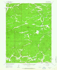 1961 Foxpark1963 Print · USGSHigh-country timber and rail life define this portion of the Medicine Bow National Forest in the early sixties. Genealogists and historians can trace family locations like Porter Ranch, the American Mine, and the rail stops of Foxpark and Wyocolo.3 unique versions available
 - 1962 Map of Rawlins
 1962 Rawlins1962 Print · USGSSouthern Wyoming at the dawn of the sixties shows a landscape shaped by the Union Pacific and the high peaks of the Medicine Bow Mountains. Researchers can trace the path of the old stage routes through Overland Stage Station and Fort Fred Steele.
 - 1967 Map of Rawlins
 1967 Rawlins1967 Print · USGSCentral Wyoming and northern Colorado in the 1980s are defined here by the Union Pacific corridor and the high peaks of the Sierra Madre. Researchers can trace the legacy of old mining and rail towns like Carbon, Hanna, and Medicine Bow along the Overland Trail.
 - 1982 Map of Saratoga
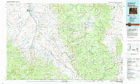 1982 Saratoga1982 Print · USGSHigh country ranching and mining define this southern Wyoming region during the early 1980s. Researchers can trace the Union Pacific Railroad corridor through Foxpark or locate the historic Ferris-Haggarty Mine near the North Platte River.
 - 1988 Map of Rawlins
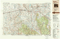 1988 Rawlins1988 Print · USGSSouthern Wyoming and the Colorado borderlands are detailed here in the late eighties, featuring the intersection of the historic Overland Trail and the Union Pacific. Researchers can trace old rail towns like Medicine Bow and Wamsutter or landmark peaks like Medicine Bow Peak.
 - 1992 Map of Foxpark, 1996 Print
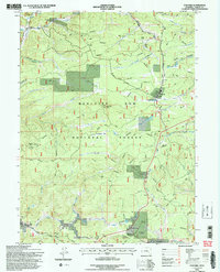 1992 Foxpark1996 Print · USGSSoutheast Wyoming’s timber and rail corridor comes to life in the early nineties, centered on the Medicine Bow National Forest. Genealogists and historians can trace family-named sites like Porter Ranch and Oz Yoke Ranch, alongside the remote American Mine.2 unique versions available
 - 2012 Map of Foxpark, 2012 Print
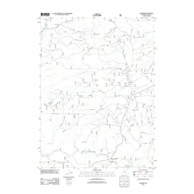 2012 Foxpark2012 Print · USGSSouthern Wyoming's high forest and ranch country are captured here at the start of the twenty-first century. Researchers can trace the layout of small settlements like Fox Park and Wyocolo or locate rural landmarks such as Ox Yoke Ranch and Roosevelt Camp.
 - 2015 Map of Foxpark, 2015 Print
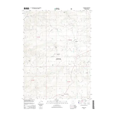 2015 Foxpark2015 Print · USGSThe high mountain settlements of the Medicine Bow range appear here during the mid-2010s. Researchers can trace the layout of small communities like Foxpark, Wyocolo, and Mountain Home alongside landmarks like Somber Hill and Miller Lake.
 - 2017 Map of Foxpark, 2017 Print
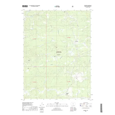 2017 Foxpark2017 Print · USGSThe high timber of the Medicine Bow Mountains is captured here in the late twenty-teens, showing the remote communities of the Wyoming-Colorado border. Researchers can trace the drainages of Pelton Cr and Squirrel Cr or locate the settlements at Fox Park and Wyocolo.
 - 2021 Map of Foxpark, 2021 Print
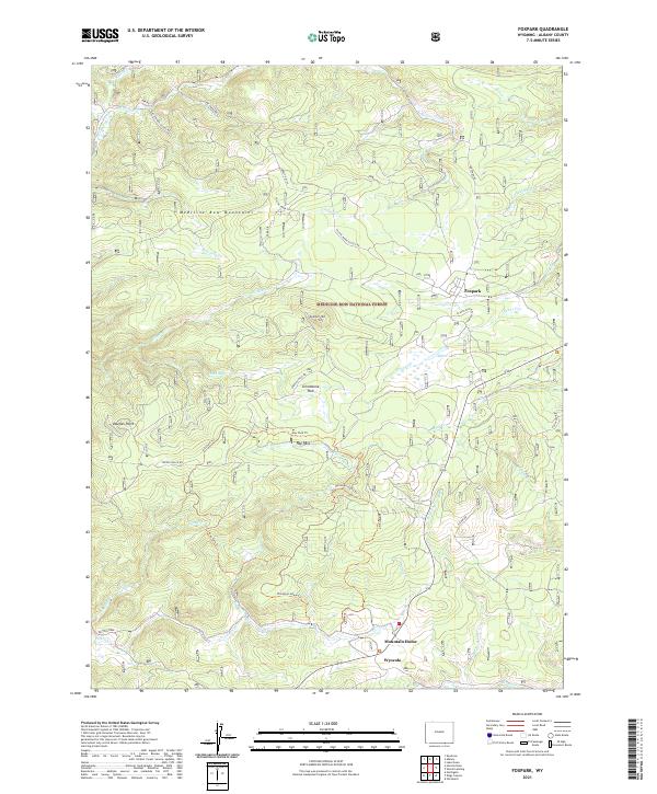 2021 Foxpark2021 Print · USGSHigh in the Medicine Bow Mountains during the early twenty-first century, this area remains a center for forest access and alpine recreation. Researchers can trace the roads and trails connecting Foxpark, Mountain Home, and Wyocolo across the Medicine Bow National Forest.
End of results
Showing maps 1-14 of 14
Top cities near Mountain Home
Frequently asked questions
- What are the different types of historical maps available for Mountain Home?
- What is the oldest map of Mountain Home?
- Where can I purchase historical maps of Mountain Home for my home or office?
- Where can I download high-res historical maps of Mountain Home?
- Are there historical topographic maps available for Mountain Home?
- Is there historical aerial imagery available for Mountain Home?
- Where are historical maps of Mountain Home sourced from?