2020s Maps of Wright, Wyoming
Explore 4 historic maps of Wright from the 2020s. These maps offer a rare glimpse into what life looked like during the 2020s — showing old roads, neighborhoods, homes, and landmarks that have changed or disappeared over time.
Whether you're researching your family's past, planning a metal detecting trip, or studying how Wright's landscape evolved across the 2020s, these high-resolution maps are a powerful tool for exploring the history of this region.
- Focus on a specific era: All maps on this page are from the 2020s, giving you a focused view of this time period.
- See what’s changed: Compare century-old streets, trails, and buildings to today's modern landscape using overlays and satellite layers.
- Research with precision: Use these maps for genealogy, historical research, land use analysis, or educational projects.
- View, download, or print: Maps are fully viewable online in high resolution, and can be downloaded or printed for your own records.
Start exploring Wright's history through authentic maps from the 2020s. This is your window into the past.
Wright, WY maps
(4)- 2021 Map of Rocky Butte Gulch, 2021 Print
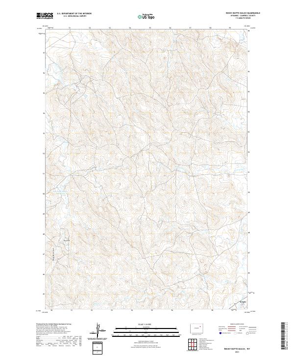 2021 Rocky Butte Gulch2021 Print · USGSNear the headwaters of the Belle Fourche River in the 2020s, this landscape captures the meeting point of high plains ranching and local industry. Genealogists and researchers can trace the roads around Wright or locate landmarks like Rock Butte Number 2 Reservoir and Billie Cr.
 - 2021 Map of Little Thunder Reservoir, 2021 Print
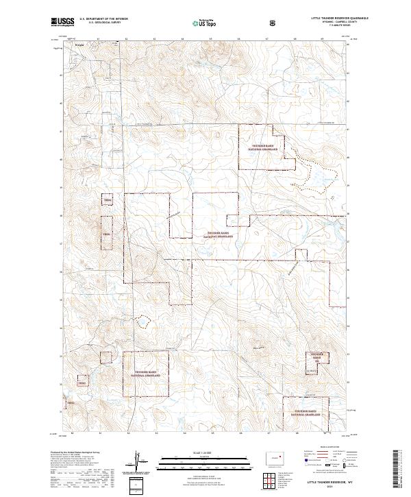 2021 Little Thunder Reservoir2021 Print · USGSThe community of Wright sits at the edge of the expansive Thunder Basin National Grassland during the early twenty-first century. Genealogists and local historians can trace the local landscape through the Wright Cem and landmarks like Black Butte or Little Thunder Reservoir.
 - 2021 Map of Rattlesnake Draw, 2021 Print
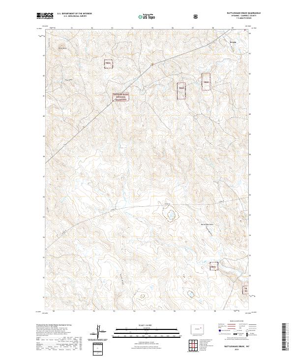 2021 Rattlesnake Draw2021 Print · USGSThe high plains of Campbell County come into focus in 2021, showing the area around Wright and the sprawling Thunder Basin National Grassland. Genealogists and land researchers can trace regional landmarks like Rattlesnake Butte and the winding course of N Porcupine Cr.
 - 2021 Map of Reno Junction, 2021 Print
 2021 Reno Junction2021 Print · USGSThe southern Powder River Basin comes into focus in this recent survey of Campbell County, where energy and ranching intersections meet. Genealogists and local historians can locate Wright, Reno Junction, and the Wright Cemetery near Sager Reservoir.
End of results
Showing maps 1-4 of 4
Top neighborhoods of Wright
Frequently asked questions
- What are the different types of historical maps available for Wright?
- What is the oldest map of Wright?
- Where can I purchase historical maps of Wright for my home or office?
- Where can I download high-res historical maps of Wright?
- Are there historical topographic maps available for Wright?
- Is there historical aerial imagery available for Wright?
- Where are historical maps of Wright sourced from?