Old Maps of Oil Springs, Wyoming for Genealogy
Trace your family roots with 13 historic maps of Oil Springs. These high-res maps reveal old neighborhoods, homesites, landmarks, and streets — helping you uncover where your ancestors lived and how the area evolved over time.
- Explore historic neighborhoods: Identify where your relatives may have lived in the 1800s or 1900s.
- Compare maps over time: Trace the changes in streets, buildings, and landmarks for multi-generational research.
- Perfect for genealogy & ancestry research: Used by family historians and researchers to map out lineage and migration.
These maps are an incredible resource for exploring your personal connection to Oil Springs's past.
Oil Springs, WY maps
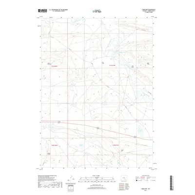
(13)- 1914 Map of Saddleback Hills, 1958 Print
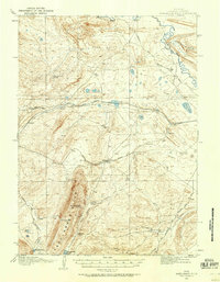 1914 Saddleback Hills1958 Print · USGSCarbon County’s rail and ranching landscape is captured here before the First World War, centered on the historic high-plains corridor of the Union Pacific. Local historians can trace the early road network and vital water stops like Missouri John Spring, Como Lake, and the settlement at Carbon.
 - 1921 Map of Saddleback Hills
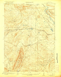 1921 Saddleback Hills1921 Print · USGSCarbon County at the start of the 1920s shows a landscape shaped by the Union Pacific Railroad and early transit routes. You can trace the historic footprint of Carbon or locate remote watering holes like Missouri John Spring and Fiddlers Green.2 unique versions available
 - 1954 Map of Rawlins, 1968 Print
 1954 Rawlins1968 Print · USGSThe high plains and mountain ranges of southern Wyoming are shown here in the mid-1950s as the Union Pacific railroad and early highways fueled local industry. Genealogists and historians can trace old homesteads and outposts like the Overland Stage Station, the Utah Oil Refining Station, and the Hadsell Winter Headquarters.2 unique versions available
 - 1958 Map of Rawlins
 1958 Rawlins1958 Print · USGSSouthern Wyoming at the mid-century shows a landscape defined by the Union Pacific Railroad and the high basins of the Continental Divide. Researchers can trace old transportation routes near Fort Fred Steele or explore the mining history around Hanna and Medicine Bow.2 unique versions available
 - 1962 Map of Rawlins
 1962 Rawlins1962 Print · USGSSouthern Wyoming at the dawn of the sixties shows a landscape shaped by the Union Pacific and the high peaks of the Medicine Bow Mountains. Researchers can trace the path of the old stage routes through Overland Stage Station and Fort Fred Steele.
 - 1967 Map of Rawlins
 1967 Rawlins1967 Print · USGSCentral Wyoming and northern Colorado in the 1980s are defined here by the Union Pacific corridor and the high peaks of the Sierra Madre. Researchers can trace the legacy of old mining and rail towns like Carbon, Hanna, and Medicine Bow along the Overland Trail.
 - 1971 Map of Como East, 1975 Print
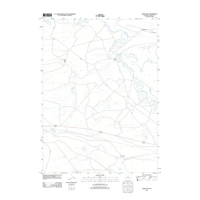
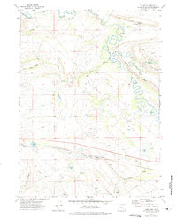 1971 Como East1975 Print · USGSCarbon and the surrounding high plains are captured here in the early seventies, showcasing a region defined by mineral extraction and the Union Pacific line. Researchers can trace the Old Railroad Grade and locate old mining sites like the mines near Como Lake.
 - 1980 Map of Medicine Bow
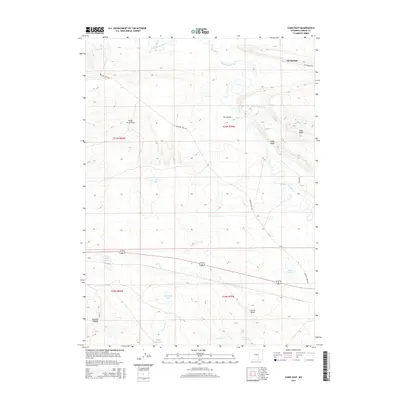
 1980 Medicine Bow1980 Print · USGSCarbon County’s high plains and industrial corridors are captured here in the late twentieth century, centered on the coal-rich territory around Hanna. Genealogists and historians can trace the paths of the historic Overland Trail and the Union Pacific Railroad past settlements like Elmo and Fort Steele.
 - 1988 Map of Rawlins
 1988 Rawlins1988 Print · USGSSouthern Wyoming and the Colorado borderlands are detailed here in the late eighties, featuring the intersection of the historic Overland Trail and the Union Pacific. Researchers can trace old rail towns like Medicine Bow and Wamsutter or landmark peaks like Medicine Bow Peak.
 - 2012 Map of Como East, 2012 Print
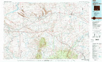
 2012 Como East2012 Print · USGSCovers Oil Springs, including Carbon County, United States, and other nearby areas
 - 2015 Map of Como East, 2015 Print
 2015 Como East2015 Print · USGSCovers Oil Springs, including Carbon County, United States, and other nearby areas
 - 2017 Map of Como East, 2017 Print
 2017 Como East2017 Print · USGSCovers Oil Springs, including Carbon County, United States, and other nearby areas
 - 2021 Map of Como East, 2021 Print
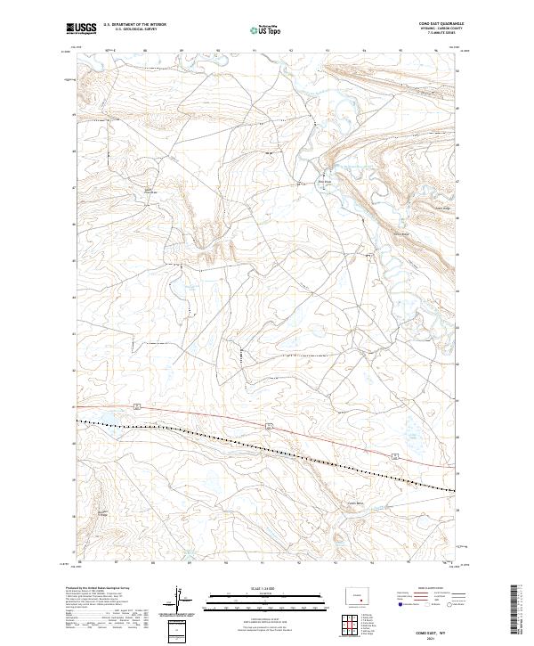 2021 Como East2021 Print · USGSHigh plains and river bends south of the Medicine Bow highlight this Carbon County landscape as it appeared in the early 2020s. Researchers can trace the winding course of the Medicine Bow River and locate remote features like Sulphur Springs and Fossil Ridge.
End of results
Showing maps 1-13 of 13
Top cities near Oil Springs
Frequently asked questions
- What are the different types of historical maps available for Oil Springs?
- What is the oldest map of Oil Springs?
- Where can I purchase historical maps of Oil Springs for my home or office?
- Where can I download high-res historical maps of Oil Springs?
- Are there historical topographic maps available for Oil Springs?
- Is there historical aerial imagery available for Oil Springs?
- Where are historical maps of Oil Springs sourced from?