2000s (21st Century) Maps of Rawlins, Wyoming
Explore 2 historic maps of Rawlins from the 2000s (21st Century). These maps offer a rare glimpse into what life looked like during the 2000s — showing old roads, neighborhoods, homes, and landmarks that have changed or disappeared over time.
Whether you're researching your family's past, planning a metal detecting trip, or studying how Rawlins's landscape evolved across the 2000s, these high-resolution maps are a powerful tool for exploring the history of this region.
- Focus on a specific era: All maps on this page are from the 2000s, giving you a focused view of this time period.
- See what’s changed: Compare century-old streets, trails, and buildings to today's modern landscape using overlays and satellite layers.
- Research with precision: Use these maps for genealogy, historical research, land use analysis, or educational projects.
- View, download, or print: Maps are fully viewable online in high resolution, and can be downloaded or printed for your own records.
Start exploring Rawlins's history through authentic maps from the 2000s. This is your window into the past.
Rawlins, WY maps
(2)- 2021 Map of Rawlins, 2021 Print
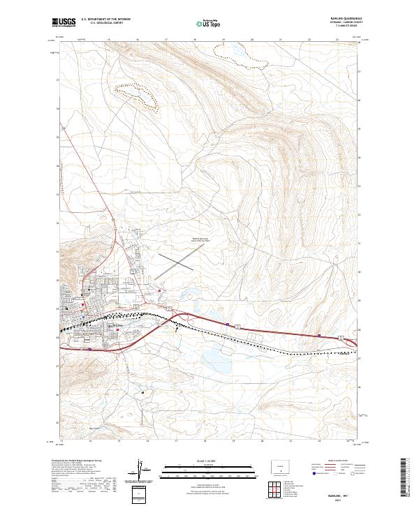 2021 Rawlins2021 Print · USGSRawlins and Sinclair sit at the crossroads of the Continental Divide and the transcontinental rail corridor in the early twenty-first century. Genealogists and researchers can trace local roots at the Rawlins Cem, the Wyoming State Penitentiary Cem, and the Carbon County Courthouse.
 - 2021 Map of Rawlins Peak, 2021 Print
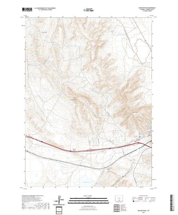 2021 Rawlins Peak2021 Print · USGSCarbon County’s high-elevation terrain is captured here in the early twenty-first century, showing the intersection of recreation and interstate transit. Trace the Continental Divide National Scenic Trail past Rawlins Peak or locate water at Indian Spring and Hogback Lake.
End of results
Showing maps 1-2 of 2
Top cities near Rawlins
Frequently asked questions
- What are the different types of historical maps available for Rawlins?
- What is the oldest map of Rawlins?
- Where can I purchase historical maps of Rawlins for my home or office?
- Where can I download high-res historical maps of Rawlins?
- Are there historical topographic maps available for Rawlins?
- Is there historical aerial imagery available for Rawlins?
- Where are historical maps of Rawlins sourced from?