Old Maps of Nunn Ranch, Wyoming for Hiking & Exploration
Hike through history with 9 historic maps of Nunn Ranch. Explore old trails, ghost towns, and forgotten backroads — perfect for outdoor adventurers and local explorers.
- Rediscover forgotten places: Map out old mining camps, roads, and footpaths that no longer exist on modern maps.
- Layer with modern tools: Combine with LiDAR or satellite views to plan hikes through historical terrain.
- Made for exploration: Popular among hikers, overlanders, and local history lovers.
Use these maps to find adventure and explore the hidden past of Nunn Ranch.
Nunn Ranch, WY maps
(9)- 1949 Map of Poison Lake, 1967 Print
 1949 Poison Lake1967 Print · USGSConverse County ranching and frontier history are preserved here in the late 1940s. Genealogists and historians can locate legacy homesteads like Johnson Ranch and trace the paths to the Site of Old La Bonte Stage Station and the White School.
 - 1950 Map of Poison Lake
 1950 Poison Lake1950 Print · USGSThe Converse County rangelands in the late 1940s show a transition from pioneer trails to established ranching life. Genealogists and historians can locate legacy operations like Norton Ranch and trace the historic Site of Old La Bonte Stage Station.
 - 1954 Map of Torrington, 1963 Print
 1954 Torrington1963 Print · USGSEastern Wyoming and the Nebraska borderlands are captured here during the mid-fifties, showing a landscape shaped by the Platte River and the Laramie Range. Researchers can trace deep history at the Fort Laramie National Historical Site, the Old Doty Ranch Site, and along the Old Fetterman Road.4 unique versions available
 - 1958 Map of Torrington
 1958 Torrington1958 Print · USGSEastern Wyoming and the Nebraska borderlands are captured in the late fifties, showcasing a landscape of high plains ranching and river-fed industry. Trace the historic paths of the Union Pacific railroad and find legacy sites like Fort Laramie and Sunrise.
 - 1981 Map of Douglas
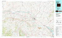 1981 Douglas1981 Print · USGSThe North Platte River corridor in the early eighties shows a landscape shaped by energy and iron. Genealogists and industrial historians can trace rail-side settlements like Glenrock, explore the Big Muddy Oil Field, and locate the old siding at Fetterman.
 - 2012 Map of Poison Lake, 2012 Print
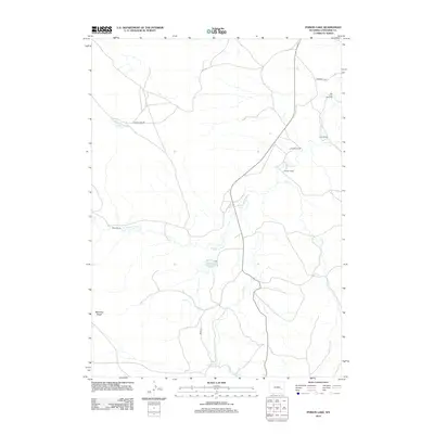 2012 Poison Lake2012 Print · USGSConverse County ranching land and historic migration routes are preserved here in the early twenty-first century. Genealogists and historians can trace family holdings at Nunn Ranch and Norton Ranch or locate the site of Old Camp Marshall along the Emigrant Trl.
 - 2015 Map of Poison Lake, 2015 Print
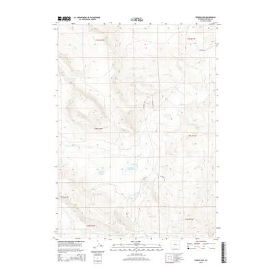 2015 Poison Lake2015 Print · USGSConverse County ranching country and historic westward trails are captured here in the mid-2010s. Trace the path of the Emigrant Trl and locate local water landmarks like Poison Lake, Darlington Reservoir Number 1, and the heights of Manning Ridge.
 - 2017 Map of Poison Lake, 2017 Print
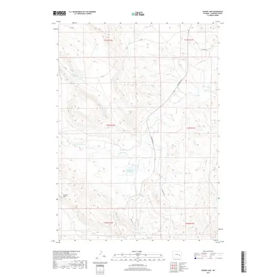 2017 Poison Lake2017 Print · USGSConverse County ranching country is shown here in the late twenty-teens, dominated by the high basins of the Laramie Range. Historians can trace the Emigrant Trl and find family-named landmarks such as Manning Ridge and Braae Rd.
 - 2021 Map of Poison Lake, 2021 Print
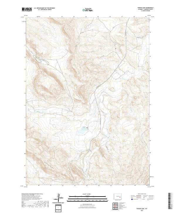 2021 Poison Lake2021 Print · USGSConverse County's high ridges and historical transit corridors are captured in this recent survey of the Wyoming landscape. Researchers can trace the path of the Emigrant Trl or locate landmarks like Poison Lake, Saddleback Reservoir, and Manning Ridge.
End of results
Showing maps 1-9 of 9
Top cities near Nunn Ranch
Frequently asked questions
- What are the different types of historical maps available for Nunn Ranch?
- What is the oldest map of Nunn Ranch?
- Where can I purchase historical maps of Nunn Ranch for my home or office?
- Where can I download high-res historical maps of Nunn Ranch?
- Are there historical topographic maps available for Nunn Ranch?
- Is there historical aerial imagery available for Nunn Ranch?
- Where are historical maps of Nunn Ranch sourced from?