Old Maps of Whipple Hollow, Wyoming for Hiking & Exploration
Hike through history with 6 historic maps of Whipple Hollow. Explore old trails, ghost towns, and forgotten backroads — perfect for outdoor adventurers and local explorers.
- Rediscover forgotten places: Map out old mining camps, roads, and footpaths that no longer exist on modern maps.
- Layer with modern tools: Combine with LiDAR or satellite views to plan hikes through historical terrain.
- Made for exploration: Popular among hikers, overlanders, and local history lovers.
Use these maps to find adventure and explore the hidden past of Whipple Hollow.
Whipple Hollow, WY maps
(6)- 1955 Map of Newcastle, 1963 Print
 1955 Newcastle1963 Print · USGSThe high plains of eastern Wyoming and western South Dakota are captured in the mid-fifties, showing a landscape of sprawling ranches and emerging oil fields. Researchers can locate family landmarks like Saunders Ranch, trace the Chicago Burlington & Quincy RR, and explore small rail towns such as Osage and Edgemont.2 unique versions available
 - 1958 Map of Newcastle
 1958 Newcastle1958 Print · USGSThe high plains of eastern Wyoming meet the Black Hills in the late fifties, showcasing a landscape of rail-connected towns and historic trails. Trace the path of the Chicago Burlington & Quincy RR through Newcastle or locate the Bozeman Trail Monument and Summitt Ridge Lookout Tower.
 - 1959 Map of Highland Flats, 1962 Print
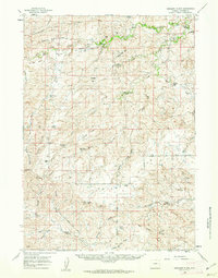 1959 Highland Flats1962 Print · USGSConverse County ranching country is captured here in the late fifties, showing a landscape defined by the Cheyenne River and isolated homesteads. Researchers can trace historic family holdings like the Hornbuckle Ranch and landmarks like Holdup Hollow or Suicide Hill.2 unique versions available
 - 1979 Map of Bill, 1980 Print
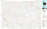 1979 Bill1980 Print · USGSConverse County and the surrounding ranchlands are shown in the late 1970s as industrial mining began to reshape the cattle country. Researchers can trace the Burlington Northern rail line and locate landmarks like the Johnston Mine, Bill, and Red Butte.2 unique versions available
 - 1984 Map of Whipple Hollow
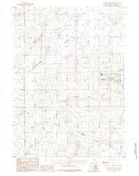 1984 Whipple Hollow1984 Print · USGSConverse County ranching and water management are the focus of this mid-eighties survey of the Wyoming high plains. Researchers can locate established homesteads like Leuenberger Ranch and trace vital water sources from Whipple Hollow Spring to Antelope Reservoir.
 - 2021 Map of Whipple Hollow, 2021 Print
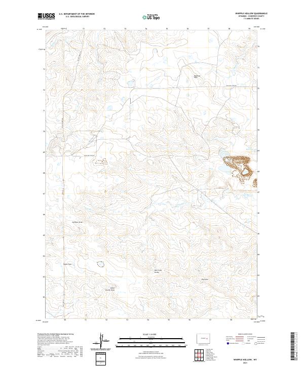 2021 Whipple Hollow2021 Print · USGSConverse County ranching land and high plains are documented here in the early twenty-first century. Local historians can trace the hydrology and land divisions around Buck Reservoir, Taylor Flats, and Box Creek Divide.
End of results
Showing maps 1-6 of 6
Frequently asked questions
- What are the different types of historical maps available for Whipple Hollow?
- What is the oldest map of Whipple Hollow?
- Where can I purchase historical maps of Whipple Hollow for my home or office?
- Where can I download high-res historical maps of Whipple Hollow?
- Are there historical topographic maps available for Whipple Hollow?
- Is there historical aerial imagery available for Whipple Hollow?
- Where are historical maps of Whipple Hollow sourced from?