Old Maps of Mona, Wyoming for Academic Research
Study the evolution of Mona with 13 high-resolution historic maps. Whether you're teaching, researching, or modeling changes in land use, these maps provide essential visual documentation of urban, environmental, and geographic change.
- Analyze long-term change: Track patterns in development, transportation, and natural features.
- Ideal for environmental or urban studies: Support academic projects with primary historical map data.
- Use in the classroom or lab: Educators and researchers rely on these maps to bring historical context to life.
These maps are a powerful tool for teaching, research, and visualizing how Mona has changed over the decades.
Mona, WY maps
(13)- 1901 Map of Aladdin, 1954 Print
 1901 Aladdin1954 Print · USGSCrook County ranching and rail life at the turn of the century is preserved here, from the mountain slopes to the river valleys. Genealogists can trace early homesteads and shipping points like Aladdin, Beulah, and the VVV Ranch.
 - 1903 Map of Aladdin
 1903 Aladdin1903 Print · USGSThe northern Black Hills region at the turn of the century reveals a landscape defined by the arrival of the Wyoming and Missouri River R.R. and expansive cattle ranching. Researchers can trace the early footprints of settlements like Aladdin and Beulah, alongside established landmarks like the VVV Ranch and Schoolmarm Butte.3 unique versions available
 - 1954 Map of Gillette, 1975 Print
 1954 Gillette1975 Print · USGSGillette and the northeast Wyoming ranching country are captured here in the mid-1950s as coal and bentonite mining shaped the local economy. Genealogists can trace family landmarks like the Bethlehem Church, Wellman School, and early settlements along the Chicago Burlington and Quincy RR.
 - 1955 Map of Gillette, 1976 Print
 1955 Gillette1976 Print · USGSNortheastern Wyoming in the mid-twentieth century is captured here as the energy and ranching landscape began to shift. Genealogists and historians can trace the foundations of local communities through sites like Wyodak, the Pleasantdale Community Building, and landmarks like Devils Tower National Monument.
 - 1957 Map of Mona, 1959 Print
 1957 Mona1959 Print · USGSThe ranching country of Crook County is captured here in the late fifties as family homesteads dotted the landscape between the state lines. Genealogists can trace legacy properties like Edsall Ranch and Svoboda Ranch or find old school sites like Robinson Sch.2 unique versions available
 - 1958 Map of Gillette
 1958 Gillette1958 Print · USGSNortheastern Wyoming and the Black Hills are captured here in the late fifties, showcasing a landscape of high-plains ranching and emerging energy production. Researchers can trace the rail-side growth of Gillette and find historic rural landmarks like the Wyodak Coal Mine, Bethlehem Church, and Devils Tower National Monument.2 unique versions available
 - 1962 Map of Gillette
 1962 Gillette1962 Print · USGSHigh plains ranching and coal mining dominate the Powder River Basin in the early sixties. Genealogists can trace rural communities through landmarks like the Bethlehem Church, Lake School, and settlements such as Moorcroft and Sundance.
 - 1979 Map of Devils Tower
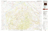 1979 Devils Tower1979 Print · USGSThe High Plains meet the Black Hills in the late 1970s, where the landmark Devils Tower rises above the Belle Fourche River. Trace the Chicago and North Western rail line and locate old outposts like Aladdin and Hulett.2 unique versions available
 - 1984 Map of Mona, 1985 Print
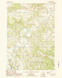 1984 Mona1985 Print · USGSCrook County, Wyoming, is shown in the mid-1980s as the Belle Fourche River winds through the northern Black Hills. Researchers can locate the settlement of Mona, the remote Landing Strip, and high points like Branaman Mountain.
 - 2012 Map of Mona, 2012 Print
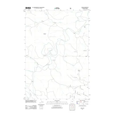 2012 Mona2012 Print · USGSCrook County ranching culture is well-documented in this early twenty-first-century survey of the high plains. Researchers can locate family legacies at the Cross Anchor Ranch, trace the Belle Fourche River, and find the small settlement of Mona.
 - 2015 Map of Mona, 2015 Print
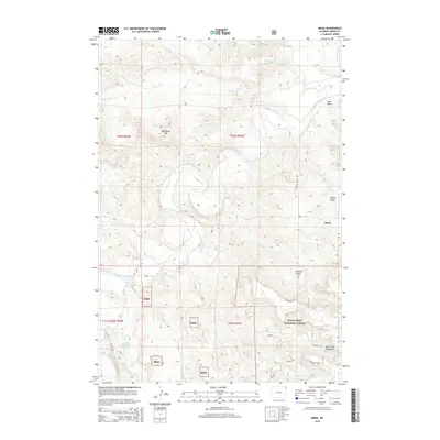 2015 Mona2015 Print · USGSThe rural landscape of Crook County is captured here in the mid-2010s, centered on the small settlement of Mona. Genealogists and local historians can trace family land near Branaman Mtn or follow the path of the Belle Fourche River past Driskill Reservoir.
 - 2017 Map of Mona, 2017 Print
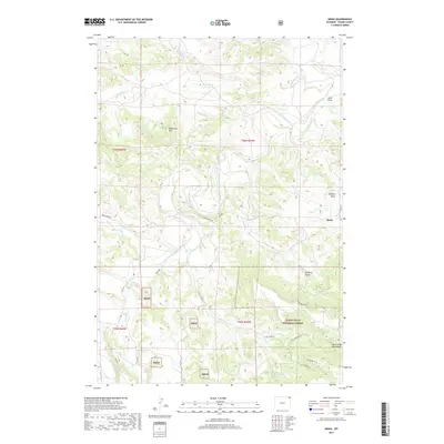 2017 Mona2017 Print · USGSMona and the surrounding Crook County ranchlands are captured here just before the end of the decade. Genealogists and local historians can trace the rugged topography of the Bear Lodge Mountains and follow old routes like Mona Rd or Deer Creek Rd.
 - 2021 Map of Mona, 2021 Print
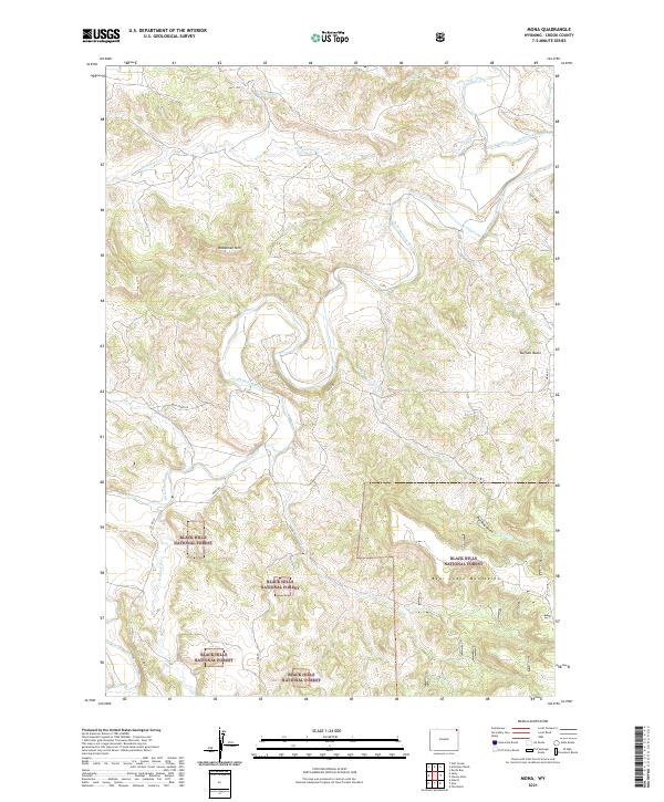 2021 Mona2021 Print · USGSNortheastern Wyoming’s high-plains and forest borders are documented here in the early twenty-first century. Researchers can trace the winding Belle Fourche River through the Black Hills National Forest or locate landmarks like Branaman Mtn and Buffalo Basin.
End of results
Showing maps 1-13 of 13
Top cities near Mona
Frequently asked questions
- What are the different types of historical maps available for Mona?
- What is the oldest map of Mona?
- Where can I purchase historical maps of Mona for my home or office?
- Where can I download high-res historical maps of Mona?
- Are there historical topographic maps available for Mona?
- Is there historical aerial imagery available for Mona?
- Where are historical maps of Mona sourced from?