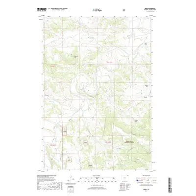
2017 Map of Mona
USGS Topo · Published 2017About this map
Mona serves as the focal point for this survey of northeastern Wyoming, where the high plains meet the western edge of the Black Hills National Forest. The landscape is defined by the winding course of the Belle Fourche River, which carves through a series of dramatic drainages including Buffalo Basin and Harding Gulch. This 2017 mapping highlights a ranching and forestry-based economy supported by a network of rural roads like Deer Creek Rd and Mona Rd. Topographical interest is concentrated in the high elevations of the Bear Lodge Mountains and Branaman Mtn, providing critical context for land use and water resources such as Martin Spring and Medicine Cr. The integration of Bhnf (Black Hills National Forest) land segments alongside private holdings illustrates the complex pattern of public and private property boundaries typical of the region.
Find a feature on this map
28 named features on this map. Tap any name to fly to it.
Don’t see what you’re looking for? This feature index may not catch every label — zoom into the map to look around manually.
Map Details
Editions of this 2017 Mona Map
This is the sole edition of this map. No revisions or reprints were ever made.
Other maps of this area

1901 · Aladdin
USGS Topo · 1:125,000

1903 · Aladdin
USGS Topo · 1:125,000

1905 · Devils Tower
USGS Topo · 1:125,000

1954 · Gillette
USGS Topo · 1:250,000

1955 · Devils Tower
USGS Topo · 1:62,500

1955 · Gillette
USGS Topo · 1:250,000

1957 · Mona
USGS Topo · 1:62,500

1957 · Seely
USGS Topo · 1:62,500

1958 · Gillette
USGS Topo · 1:250,000

1962 · Gillette
USGS Topo · 1:250,000