Old Maps of Sand Creek Crossing, Wyoming for Academic Research
Study the evolution of Sand Creek Crossing with 13 high-resolution historic maps. Whether you're teaching, researching, or modeling changes in land use, these maps provide essential visual documentation of urban, environmental, and geographic change.
- Analyze long-term change: Track patterns in development, transportation, and natural features.
- Ideal for environmental or urban studies: Support academic projects with primary historical map data.
- Use in the classroom or lab: Educators and researchers rely on these maps to bring historical context to life.
These maps are a powerful tool for teaching, research, and visualizing how Sand Creek Crossing has changed over the decades.
Sand Creek Crossing, WY maps
(13)- 1898 Map of Sundance
 1898 Sundance1898 Print · USGSNorthwestern Wyoming and the Black Hills border come alive in the 1890s, when Sundance served as a key regional hub. Genealogists and local historians can trace early wagon routes connecting settlements like Manhattan, Welcome, and Inyankara.
 - 1902 Map of Sundance
 1902 Sundance1902 Print · USGSThe Wyoming and South Dakota borderlands come into focus at the turn of the century as ranching and early mining outposts take hold. Genealogists and historians can trace family-named sites like Mc Creadys Ranch and early settlements including Manhattan and Buckhorn.4 unique versions available
 - 1954 Map of Gillette, 1975 Print
 1954 Gillette1975 Print · USGSGillette and the northeast Wyoming ranching country are captured here in the mid-1950s as coal and bentonite mining shaped the local economy. Genealogists can trace family landmarks like the Bethlehem Church, Wellman School, and early settlements along the Chicago Burlington and Quincy RR.
 - 1955 Map of Gillette, 1976 Print
 1955 Gillette1976 Print · USGSNortheastern Wyoming in the mid-twentieth century is captured here as the energy and ranching landscape began to shift. Genealogists and historians can trace the foundations of local communities through sites like Wyodak, the Pleasantdale Community Building, and landmarks like Devils Tower National Monument.
 - 1958 Map of Gillette
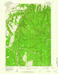
 1958 Gillette1958 Print · USGSNortheastern Wyoming and the Black Hills are captured here in the late fifties, showcasing a landscape of high-plains ranching and emerging energy production. Researchers can trace the rail-side growth of Gillette and find historic rural landmarks like the Wyodak Coal Mine, Bethlehem Church, and Devils Tower National Monument.2 unique versions available
 - 1958 Map of Tinton, 1960 Print
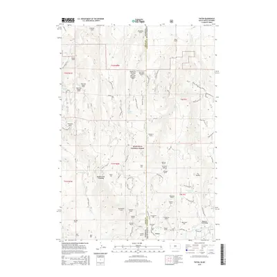
 1958 Tinton1960 Print · USGSThe Black Hills borderlands come to life in the late fifties, showing a rugged landscape of family ranches and frontier outposts. Trace historic sites and property names from Tinton to Moskee, including Lone Grave, Mineral Hill, and the isolated Lincoln Ranch.4 unique versions available
 - 1962 Map of Gillette
 1962 Gillette1962 Print · USGSHigh plains ranching and coal mining dominate the Powder River Basin in the early sixties. Genealogists can trace rural communities through landmarks like the Bethlehem Church, Lake School, and settlements such as Moorcroft and Sundance.
 - 1979 Map of Sundance
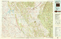 1979 Sundance1979 Print · USGSThe Black Hills borderlands in the late 1970s show a region of high peaks and vital rail corridors connecting Wyoming to South Dakota. Researchers can trace historic routes and industry through settlements like Clay Spur, Upton, and the Historical Monument.2 unique versions available
 - 1984 Map of Tinton
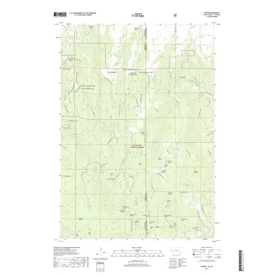
 1984 Tinton1984 Print · USGSHigh in the Black Hills during the mid-eighties, this map details the intersection of early mining history and federal land management. Researchers can locate the Bear Gulch Cem and dozens of historic workings like the Eureka No 2 Mine and Giant Mine.2 unique versions available
 - 2012 Map of Tinton, 2012 Print
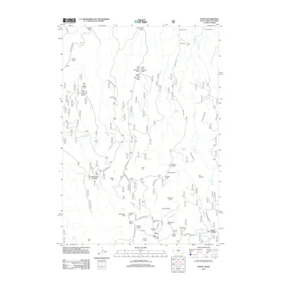 2012 Tinton2012 Print · USGSCovers Sand Creek Crossing, including Beaver Crossing, Lawrence County, and other nearby areas
 - 2015 Map of Tinton, 2015 Print
 2015 Tinton2015 Print · USGSCovers Sand Creek Crossing, including Beaver Crossing, Lawrence County, and other nearby areas
 - 2017 Map of Tinton, 2017 Print
 2017 Tinton2017 Print · USGSCovers Sand Creek Crossing, including Beaver Crossing, Lawrence County, and other nearby areas
 - 2021 Map of Tinton, 2021 Print
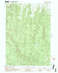
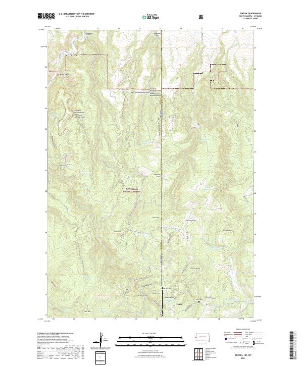 2021 Tinton2021 Print · USGSThe Black Hills highlands along the South Dakota and Wyoming border come into focus in this contemporary survey of the area around the old mining camp of Tinton. Researchers can trace local history through features like the Bear Gulch Cem, The Needles, and Beartown Hill.
End of results
Showing maps 1-13 of 13
Top cities near Sand Creek Crossing
Frequently asked questions
- What are the different types of historical maps available for Sand Creek Crossing?
- What is the oldest map of Sand Creek Crossing?
- Where can I purchase historical maps of Sand Creek Crossing for my home or office?
- Where can I download high-res historical maps of Sand Creek Crossing?
- Are there historical topographic maps available for Sand Creek Crossing?
- Is there historical aerial imagery available for Sand Creek Crossing?
- Where are historical maps of Sand Creek Crossing sourced from?