Old Maps of Belle Fourche, South Dakota
Explore 26 old maps of Belle Fourche, spanning from 1907 to today. These high-resolution historic maps reveal how streets, neighborhoods, landmarks, and natural features evolved over time — perfect for genealogy, metal detecting, research, and local history exploration.
What you can do with these maps:
- See how Belle Fourche changed over time: Compare historical maps to modern-day views to trace roads, homesites, rail lines & more.
- View detailed metadata: Each map includes creators, publishers, year, scale, and archive source.
- Overlay maps with satellite & LiDAR: Visualize the past alongside modern tools to explore terrain & human change.
- Trusted historical sources: Maps sourced from the USGS, Library of Congress, and other archives.
- Access maps your way: View online, download high-res files, or order prints for personal or research use.
Start exploring old maps of Belle Fourche to uncover forgotten places, hidden landmarks, and the deep history beneath your feet.
Belle Fourche, SD maps
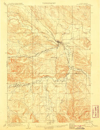
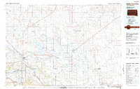
(26)- 1907 Map of Belle Fourche
 1907 Belle Fourche1907 Print · USGSEarly ranching and rail development in the Black Hills foothills appear here in the first decade of the 1900s. Researchers can trace the legacy of cattle country through family-named sites like O Connors Ranch and the early settlements of Minnesela and Saint Onge.2 unique versions available
 - 1907 Map of Redwater
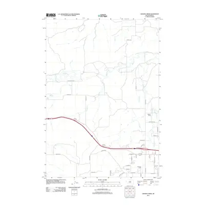
 1907 Redwater1907 Print · USGSBelle Fourche and the surrounding Black Hills foothills are documented here at the height of the early rail era. Researchers can trace the original routes of the Chicago and Northwestern RR and locate early sites like Minnesela and Concordia.2 unique versions available
 - 1953 Map of Rapid City, 1964 Print
 1953 Rapid City1964 Print · USGSWestern South Dakota's transition from the Black Hills to the open prairie is captured here during the mid-fifties. Researchers can trace the development of Ellsworth Air Force Base alongside historic landmarks like Bear Butte and the Lower Alkali School.3 unique versions available
 - 1954 Map of Jolly, 1956 Print
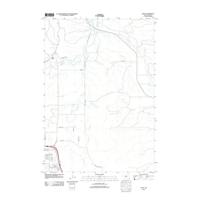
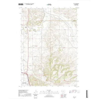
 1954 Jolly1956 Print · USGSThe Black Hills foothills in the mid-fifties show a landscape of rural industry and changing education patterns along the Butte County line. Genealogists can locate several decommissioned schoolhouses, including White Sch (Abandoned) and Todd Sch (Abandoned), alongside the Chicago North Western tracks.4 unique versions available
 - 1954 Map of Belle Fourche, 1956 Print
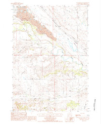
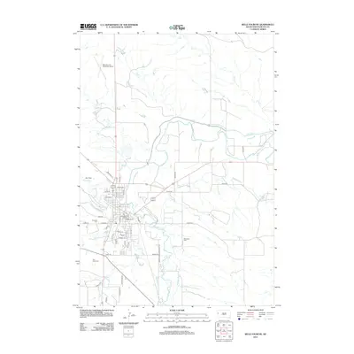
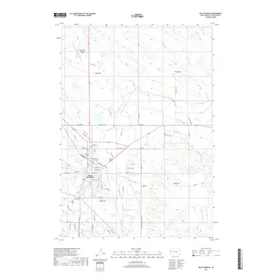
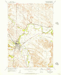 1954 Belle Fourche1956 Print · USGSBelle Fourche in the mid-fifties is a thriving rail and irrigation hub at the meeting of the Belle Fourche River and Redwater Creek. Researchers can trace old property lines near Pine Slope Cemetery, the Chicago and North Western line, or the local Ingersoll Sch.3 unique versions available
 - 1957 Map of Rapid City
 1957 Rapid City1957 Print · USGSWestern South Dakota in the mid-fifties reveals a landscape of high-altitude forests and growing military installations. Researchers can trace the development of Ellsworth Air Force Base, locate the Theodore Roosevelt Monument, and find rural landmarks like Lower Alkali School.
 - 1958 Map of Belle Fourche, 1960 Print
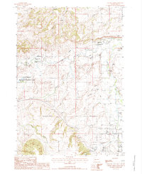
 1958 Belle Fourche1960 Print · USGSBelle Fourche at the end of the 1950s shows the convergence of the Black Hills river systems and the railroad economy. Genealogists and researchers can trace the locations of Middle Creek Sch, Minnesota Cem, and the small settlement of Jolly.2 unique versions available
 - 1983 Map of Belle Fourche
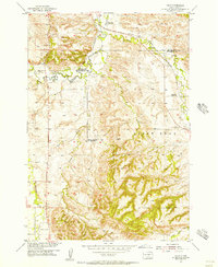
 1983 Belle Fourche1983 Print · USGSWestern South Dakota's ranching and irrigation systems are well-established in this early 1980s survey. Researchers can trace historic family holdings like McClure Ranch and the path of the Chicago and North Western railroad near Belle Fourche.
 - 1984 Map of Sourdough Flats
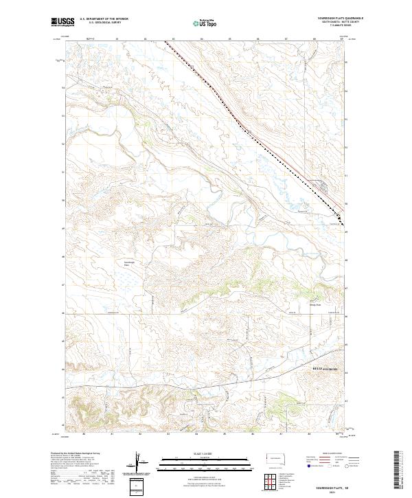
 1984 Sourdough Flats1984 Print · USGSButte County in the early 1980s reveals a prairie landscape of clay pits and isolated ranch settlements. Genealogists and historians can trace family-named locations like Soper and Gray or follow the Chicago and North Western rail line through Sourdough Flats.
 - 1984 Map of Chicken Creek, 1985 Print
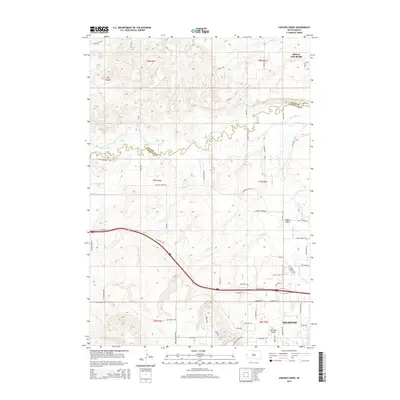
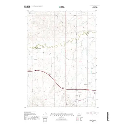
 1984 Chicken Creek1985 Print · USGSThe confluence of Redwater River and Spearfish Creek highlights this mid-1980s South Dakota landscape. Researchers can trace land use through the Abandoned Canal, Clay Pits, and the Higgins settlement.
 - 2012 Map of Sourdough Flats, 2012 Print
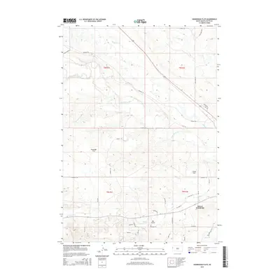
 2012 Sourdough Flats2012 Print · USGSCovers Belle Fourche, including Butte County, United States, and other nearby areas
 - 2012 Map of Belle Fourche, 2012 Print
 2012 Belle Fourche2012 Print · USGSCovers Belle Fourche, including Butte County, United States, and other nearby areas
 - 2012 Map of Jolly, 2012 Print
 2012 Jolly2012 Print · USGSCovers Belle Fourche, including Spearfish, North Spearfish, and other nearby areas
 - 2012 Map of Chicken Creek, 2012 Print
 2012 Chicken Creek2012 Print · USGSCovers Belle Fourche, including Spearfish, Ward 3, and other nearby areas
 - 2015 Map of Jolly, 2015 Print
 2015 Jolly2015 Print · USGSCovers Belle Fourche, including Spearfish, North Spearfish, and other nearby areas
 - 2015 Map of Sourdough Flats, 2015 Print
 2015 Sourdough Flats2015 Print · USGSCovers Belle Fourche, including Butte County, United States, and other nearby areas
 - 2015 Map of Chicken Creek, 2015 Print
 2015 Chicken Creek2015 Print · USGSCovers Belle Fourche, including Spearfish, Ward 3, and other nearby areas
 - 2015 Map of Belle Fourche, 2015 Print
 2015 Belle Fourche2015 Print · USGSCovers Belle Fourche, including Butte County, United States, and other nearby areas
 - 2017 Map of Belle Fourche, 2017 Print
 2017 Belle Fourche2017 Print · USGSCovers Belle Fourche, including Butte County, United States, and other nearby areas
 - 2017 Map of Jolly, 2017 Print
 2017 Jolly2017 Print · USGSCovers Belle Fourche, including Spearfish, North Spearfish, and other nearby areas
 - 2017 Map of Chicken Creek, 2017 Print
 2017 Chicken Creek2017 Print · USGSCovers Belle Fourche, including Spearfish, Ward 3, and other nearby areas
 - 2017 Map of Sourdough Flats, 2017 Print
 2017 Sourdough Flats2017 Print · USGSCovers Belle Fourche, including Butte County, United States, and other nearby areas
 - 2021 Map of Sourdough Flats, 2021 Print
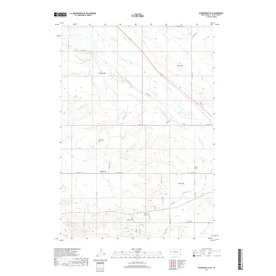
 2021 Sourdough Flats2021 Print · USGSButte County ranching country comes into focus in this recent survey, showcasing the rural landscapes north of the Black Hills. Researchers can trace the winding course of the Belle Fourche River or locate family land near Sourdough Flats and Windy Flats.
 - 2021 Map of Belle Fourche, 2021 Print
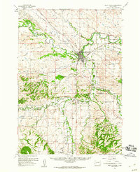
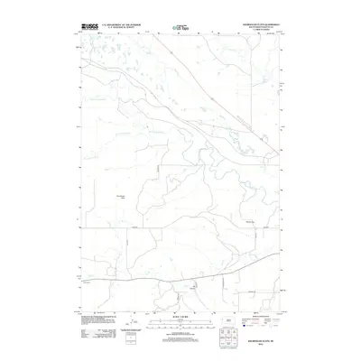
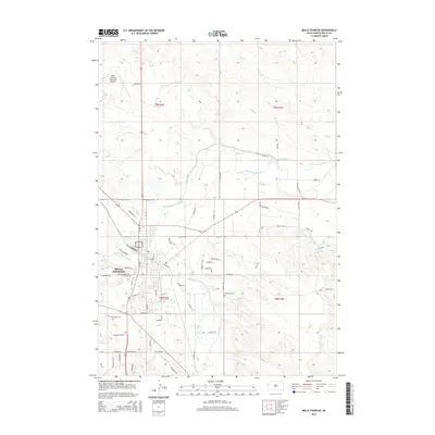
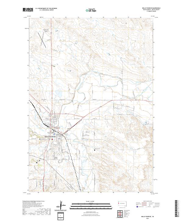 2021 Belle Fourche2021 Print · USGSBelle Fourche in the early 2020s remains the center of ranching and water rights in Butte County. Genealogists and historians can trace the town's expansion toward the Belle Fourche Municipal Airport and locate burial sites like Riverside Cem or the Butte County Courthouse.
 - 2021 Map of Jolly, 2021 Print
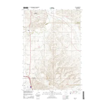
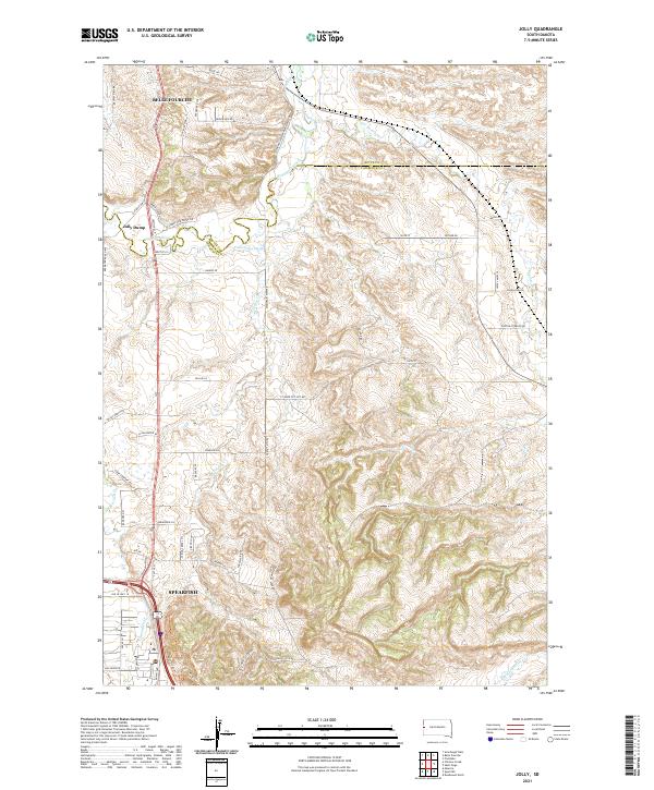 2021 Jolly2021 Print · USGSThe Black Hills foothills meet the South Dakota plains in the early 2020s, revealing a landscape defined by river valleys and rising summits. Trace the historical alignment of the Old Belle Hwy and identify property landmarks like Jolly and the Concordia Ditch.
Showing maps 1-25 of 26
Top cities near Belle Fourche
- Spearfish historical maps
- North Spearfish historical maps
- Whitewood historical maps
- Mountain Plains historical maps
- Saint Onge historical maps
- Fruitdale historical maps
Frequently asked questions
- What are the different types of historical maps available for Belle Fourche?
- What is the oldest map of Belle Fourche?
- Where can I purchase historical maps of Belle Fourche for my home or office?
- Where can I download high-res historical maps of Belle Fourche?
- Are there historical topographic maps available for Belle Fourche?
- Is there historical aerial imagery available for Belle Fourche?
- Where are historical maps of Belle Fourche sourced from?