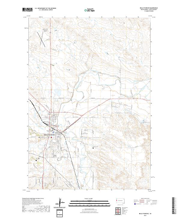
2021 Map of Belle Fourche
USGS Topo · Published 2021About this map
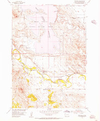
The high plains city of Belle Fourche serves as the focal point of this South Dakota landscape, positioned where the Belle Fourche River meets its southern tributaries. The town’s civic core is anchored by the Butte County Courthouse, while its periphery is marked by a concentration of cemeteries including Riverside Cem, Saint Pauls Cem, and Pine Slope Cem. North of the city center, the Belle Fourche Municipal Airport sits near Pool Creek, illustrating the modern infrastructure of the region.
Find a feature on this map
69 named features on this map. Tap any name to fly to it.
Don’t see what you’re looking for? This feature index may not catch every label — zoom into the map to look around manually.
Map Details
Editions of this 2021 Belle Fourche Map
This is the sole edition of this map. No revisions or reprints were ever made.
Other maps of this area

1905 · Saint Onge
USGS Topo · 1:62,500

1905 · Indian
USGS Topo · 1:62,500

1906 · Two Top
USGS Topo · 1:62,500

1907 · Belle Fourche
USGS Topo · 1:125,000

1907 · Redwater
USGS Topo · 1:62,500

1953 · Rapid City
USGS Topo · 1:250,000
1954 · Saint Onge
USGS Topo · 1:24,000
1954 · Jolly
USGS Topo · 1:24,000
1954 · Belle Fourche
USGS Topo · 1:24,000
1954 · Fruitdale
USGS Topo · 1:24,000