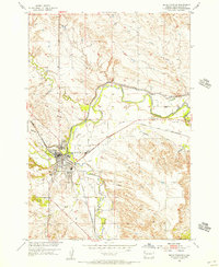
1954 Map of Belle Fourche
USGS Topo · Published 1956About this map
Belle Fourche sits at the confluence of the Belle Fourche River and Redwater Creek, serving as a vital hub for Butte County mid-century. The landscape is defined by its extensive irrigation infrastructure, including the Inlet Canal and Redwater Canal, which diverted water to support the region’s agricultural development. The Chicago and North Western railroad bisects the town, anchoring the local economy to the rail network that transported cattle and crops from the Black Hills periphery.
Find a feature on this map
22 named features on this map. Tap any name to fly to it.
Don’t see what you’re looking for? This feature index may not catch every label — zoom into the map to look around manually.
Map Details
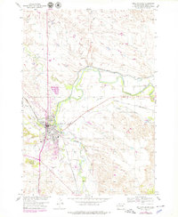
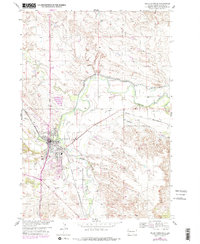
Editions of this 1954 Belle Fourche Map
3 editions found
Other maps of this area

1905 · Saint Onge
USGS Topo · 1:62,500

1905 · Indian
USGS Topo · 1:62,500

1906 · Two Top
USGS Topo · 1:62,500

1907 · Belle Fourche
USGS Topo · 1:125,000

1907 · Redwater
USGS Topo · 1:62,500

1953 · Rapid City
USGS Topo · 1:250,000
1954 · Saint Onge
USGS Topo · 1:24,000
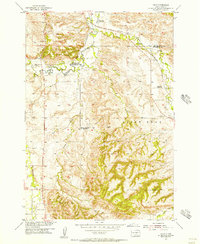
1954 · Jolly
USGS Topo · 1:24,000
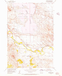
1954 · Fruitdale
USGS Topo · 1:24,000
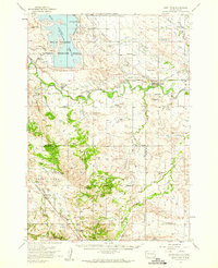
1954 · Saint Onge
USGS Topo · 1:62,500