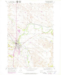
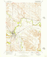
1954 Map of Belle Fourche
USGS Topo · Published 1979About this map
The confluence of the Belle Fourche River and the Redwater River defines this 1954 landscape, where the city of Belle Fourche serves as a regional hub for the Chicago and North Western railroad. The map illustrates a community shaped by its water resources and transportation networks, featuring the intricate Inlet Canal and Redwater Canal systems alongside the winding paths of Crow Creek and Hay Creek. Civil infrastructure including the Rodeo Grounds, City Park, and a Landing Field west of the city reflect mid-century municipal growth.
Find a feature on this map
25 named features on this map. Tap any name to fly to it.
Don’t see what you’re looking for? This feature index may not catch every label — zoom into the map to look around manually.
Map Details
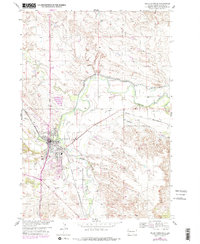
Editions of this 1954 Belle Fourche Map
3 editions found
Other maps of this area

1905 · Saint Onge
USGS Topo · 1:62,500

1905 · Indian
USGS Topo · 1:62,500

1906 · Two Top
USGS Topo · 1:62,500

1907 · Belle Fourche
USGS Topo · 1:125,000

1907 · Redwater
USGS Topo · 1:62,500

1953 · Rapid City
USGS Topo · 1:250,000
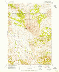
1954 · Saint Onge
USGS Topo · 1:24,000
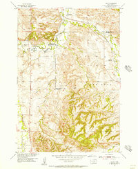
1954 · Jolly
USGS Topo · 1:24,000
1954 · Belle Fourche
USGS Topo · 1:24,000
1954 · Fruitdale
USGS Topo · 1:24,000