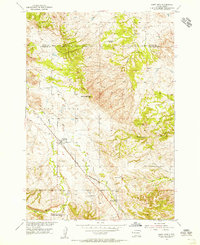
1954 Map of Saint Onge
USGS Topo · Published 1955About this map
Saint Onge serves as the focal point for this mid-century survey of the Lawrence County landscape, where the Chicago and North Western railroad cuts a diagonal path through the valley. The map documents a rural society built around community institutions like the Dane Ch, Asbury Sch, and the Middle False Bottom Sch near the settlement of Middle False Bottom. The terrain is defined by the sharp transition from the flatlands around False Bottom Creek to the prominent heights of Saint Onge Peak and Baldy Peak. Numerous watercourses, including Stinkingwater Creek and Crow Creek, drain the uplands, while the Saint Onge Cem sits just south of the main township. This map provides a meticulous record of the early infrastructure and social centers of the Missouri River Basin development era.
Find a feature on this map
20 named features on this map. Tap any name to fly to it.
Don’t see what you’re looking for? This feature index may not catch every label — zoom into the map to look around manually.
Map Details
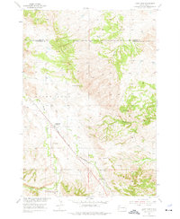
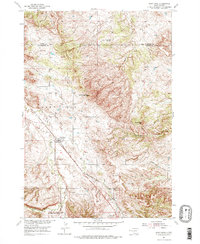
Editions of this 1954 Saint Onge Map
3 editions found
Other maps of this area

1894 · Deadwood
USGS Topo · 1:125,000

1899 · Sturgis
USGS Topo · 1:62,500

1900 · Spearfish
USGS Topo · 1:62,500

1901 · Deadwood
USGS Topo · 1:125,000

1905 · Saint Onge
USGS Topo · 1:62,500

1907 · Belle Fourche
USGS Topo · 1:125,000

1907 · Redwater
USGS Topo · 1:62,500

1915 · Spearfish
USGS Topo · 1:62,500

1915 · Sturgis
USGS Topo · 1:62,500

1916 · Deadwood
USGS Topo · 1:125,000