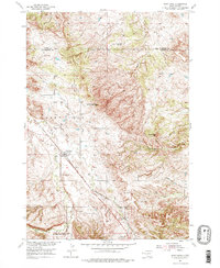
1954 Map of Saint Onge
USGS Topo · Published 1976About this map
The community of Saint Onge serves as the focal point for this mid-century survey of the Lawrence County landscape. The rail-and-water economy of the era is evident in the path of the Chicago and North Western railroad, which cuts diagonally across the terrain near the Saint Onge Dam. Local social and educational hubs are scattered throughout the rural landscape, including the Dane Ch, Asbury Sch, and Middle False Bottom Sch.
Find a feature on this map
18 named features on this map. Tap any name to fly to it.
Don’t see what you’re looking for? This feature index may not catch every label — zoom into the map to look around manually.
Map Details
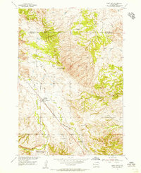
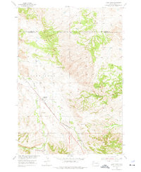
Editions of this 1954 Saint Onge Map
3 editions found
Other maps of this area

1894 · Deadwood
USGS Topo · 1:125,000

1899 · Sturgis
USGS Topo · 1:62,500

1900 · Spearfish
USGS Topo · 1:62,500

1901 · Deadwood
USGS Topo · 1:125,000

1905 · Saint Onge
USGS Topo · 1:62,500

1907 · Belle Fourche
USGS Topo · 1:125,000

1907 · Redwater
USGS Topo · 1:62,500

1915 · Spearfish
USGS Topo · 1:62,500

1915 · Sturgis
USGS Topo · 1:62,500

1916 · Deadwood
USGS Topo · 1:125,000