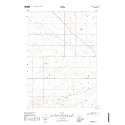
2017 Map of Sourdough Flats
USGS Topo · Published 2017About this map
The Belle Fourche River meanders through this Butte County landscape, cutting a path through the expansive prairie terrain of Sourdough Flats and Windy Flats. This 2017 survey by the U.S. Geological Survey captures a region defined by its drainage systems, where Middle Cr, Crow Cr, and Grummit Canyon Cr feed into the primary river valley. South of the flats, the terrain descends into the prominent Big Canyon, which is flanked by a network of rural roads including Canyon Creek Dr and Bonato Rd. The grid of the Public Land Survey System is evident here, with township lines like t9n r1e and t8n r2e organizing the cattle-and-river country. The density of road labels such as Livestock Rd and Cattle Dr reflects the ongoing agricultural and ranching heritage of this South Dakota expanse.
Find a feature on this map
43 named features on this map. Tap any name to fly to it.
Don’t see what you’re looking for? This feature index may not catch every label — zoom into the map to look around manually.
Map Details
Editions of this 2017 Sourdough Flats Map
This is the sole edition of this map. No revisions or reprints were ever made.
Other maps of this area

1901 · Aladdin
USGS Topo · 1:125,000

1903 · Aladdin
USGS Topo · 1:125,000

1905 · Indian
USGS Topo · 1:62,500

1907 · Belle Fourche
USGS Topo · 1:125,000

1907 · Redwater
USGS Topo · 1:62,500

1953 · Rapid City
USGS Topo · 1:250,000

1954 · The Forks
USGS Topo · 1:24,000
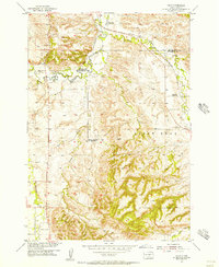
1954 · Jolly
USGS Topo · 1:24,000
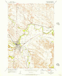
1954 · Belle Fourche
USGS Topo · 1:24,000

1954 · Gillette
USGS Topo · 1:250,000