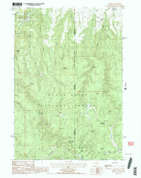
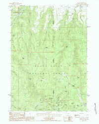
1984 Map of Tinton
USGS Topo · Published 1984About this map
The Tinton Mining District anchors the southern portion of this 1984 survey, situated on the Wyoming-South Dakota border within the Black Hills National Forest. The landscape is heavily marked by the region’s mineral history, featuring a dense concentration of operations such as the Eureka No 1 Mine, Centennial Mine, and Mallory Hill Mine. These sites are linked by a network of gulches, including Negro Gulch and Bear Gulch, where the Bear Gulch Cem is located. In the northwest corner, the Ranch A National Fish Genetics Laboratory represents a specialized federal presence near the banks of Sand Creek. The map documents a sparsely populated but industrially active frontier, where small settlements like Welcome and Potato sit alongside family-named holdings like the C Nicholas Ranch and J Miller Ranch.
Find a feature on this map
61 named features on this map. Tap any name to fly to it.
Don’t see what you’re looking for? This feature index may not catch every label — zoom into the map to look around manually.
Map Details
Editions of this 1984 Tinton Map
2 editions found
Other maps of this area

1894 · Deadwood
USGS Topo · 1:125,000

1898 · Sundance
USGS Topo · 1:125,000

1900 · Spearfish
USGS Topo · 1:62,500

1901 · Deadwood
USGS Topo · 1:125,000

1901 · Aladdin
USGS Topo · 1:125,000

1902 · Sundance
USGS Topo · 1:125,000

1903 · Aladdin
USGS Topo · 1:125,000

1907 · Belle Fourche
USGS Topo · 1:125,000

1907 · Redwater
USGS Topo · 1:62,500

1915 · Spearfish
USGS Topo · 1:62,500