Old Maps of Sand Draw, Wyoming for Hiking & Exploration
Hike through history with 10 historic maps of Sand Draw. Explore old trails, ghost towns, and forgotten backroads — perfect for outdoor adventurers and local explorers.
- Rediscover forgotten places: Map out old mining camps, roads, and footpaths that no longer exist on modern maps.
- Layer with modern tools: Combine with LiDAR or satellite views to plan hikes through historical terrain.
- Made for exploration: Popular among hikers, overlanders, and local history lovers.
Use these maps to find adventure and explore the hidden past of Sand Draw.
Sand Draw, WY maps
(10)- 1953 Map of Sand Draw, 1954 Print
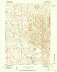 1953 Sand Draw1954 Print · USGSFremont County, Wyoming, is shown here during the post-war energy boom as petroleum infrastructure rapidly expanded across the high desert. Researchers can trace the development of the Big Sand Draw Oil and Gas Field and find the location of the Sand Draw Coal Mine and local Airfield.
 - 1955 Map of Lander, 1976 Print
 1955 Lander1976 Print · USGSMid-century central Wyoming is captured here as a landscape of high alpine wilderness and burgeoning energy development. Genealogists and historians can trace the path of the Oregon Trail or locate early industrial sites like the Big Sand Draw Oil and Gas Field and the State Training School.2 unique versions available
 - 1958 Map of Lander
 1958 Lander1958 Print · USGSThe high peaks of the Wind River Range meet the Great Divide Basin in the 1950s. Researchers can trace historic migrations past the Oregon Trail Monument or locate early energy infrastructure at the Beaver Creek Gas and Oil Field and the Oregon Trail Oil Field.
 - 1958 Map of Sand Draw, 1959 Print
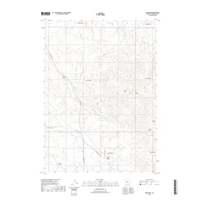
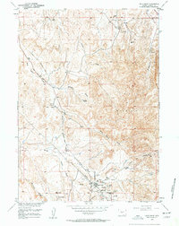 1958 Sand Draw1959 Print · USGSFremont County, Wyoming, is captured here during a period of significant energy development in the late fifties. Researchers can trace the industrial footprint of the Big Sand Draw Oil and Gas Field and locate local landmarks like the Sand Draw Coal Mine and Carlson Spring.3 unique versions available
 - 1961 Map of Lander
 1961 Lander1961 Print · USGSThe high peaks and desert basins of central Wyoming appear here in the early sixties, showing the landscape of the Shoshone Indian Reservation and the Wind River Range. Researchers can trace the path of the Oregon Trail and locate early settlements like Lander and the mining remains at South Pass City.2 unique versions available
 - 1978 Map of Lander, 1979 Print
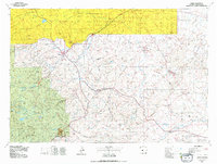 1978 Lander1979 Print · USGSFremont County settlement and energy development are captured here in the late seventies. Trace historic western migrations along the EMIGRANT TRAIL and Baldwin Trail, or locate industrial sites like the Columbia-Geneva Mines and Dallas Oil Field.2 unique versions available
 - 2012 Map of Sand Draw, 2012 Print
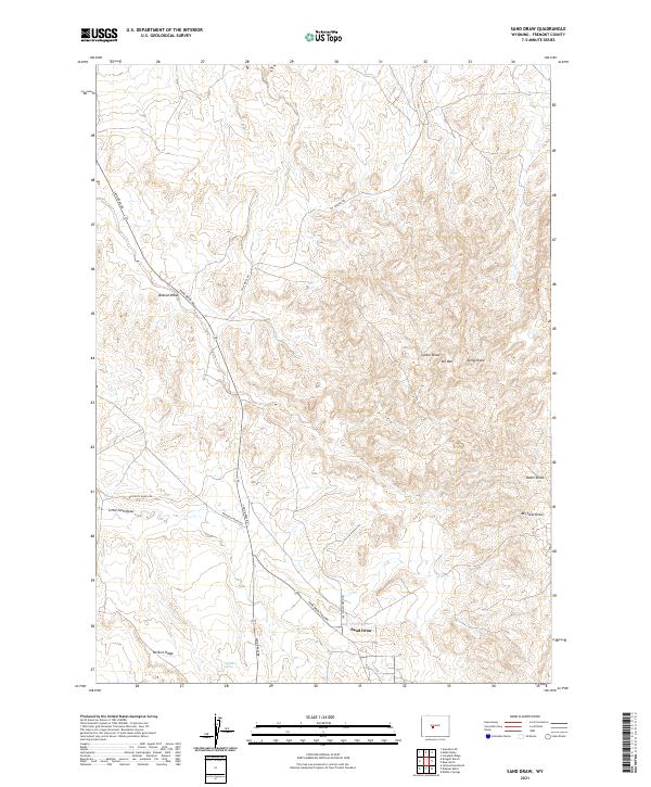
 2012 Sand Draw2012 Print · USGSCovers Sand Draw, including Fremont County, United States, and other nearby areas
 - 2015 Map of Sand Draw, 2015 Print
 2015 Sand Draw2015 Print · USGSCovers Sand Draw, including Fremont County, United States, and other nearby areas
 - 2018 Map of Sand Draw, 2018 Print
 2018 Sand Draw2018 Print · USGSCovers Sand Draw, including Fremont County, United States, and other nearby areas
 - 2021 Map of Sand Draw, 2021 Print
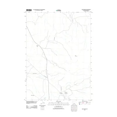
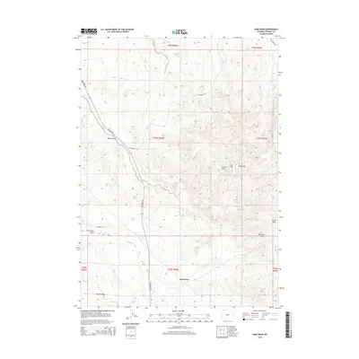
 2021 Sand Draw2021 Print · USGSFremont County, Wyoming, is captured here in the early twenty-first century, showcasing the intersection of industrial energy fields and traditional ranch lands. Researchers can trace the layout of Sand Draw and follow local routes like Bringolf Ranch Rd toward McTurk Ridge.
End of results
Showing maps 1-10 of 10
Frequently asked questions
- What are the different types of historical maps available for Sand Draw?
- What is the oldest map of Sand Draw?
- Where can I purchase historical maps of Sand Draw for my home or office?
- Where can I download high-res historical maps of Sand Draw?
- Are there historical topographic maps available for Sand Draw?
- Is there historical aerial imagery available for Sand Draw?
- Where are historical maps of Sand Draw sourced from?